Download
3D Flyover
Add to list
More
7.9 km
~1 hrs 56 min
225 m
Loop
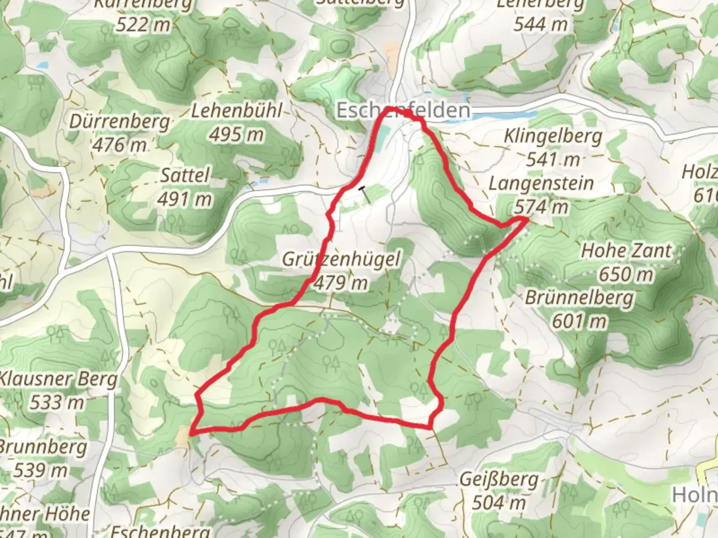
“Experience the Eschenfelden Rundweg: a scenic 8 km loop blending nature, history, and wildlife near Amberg-Sulzbach.”
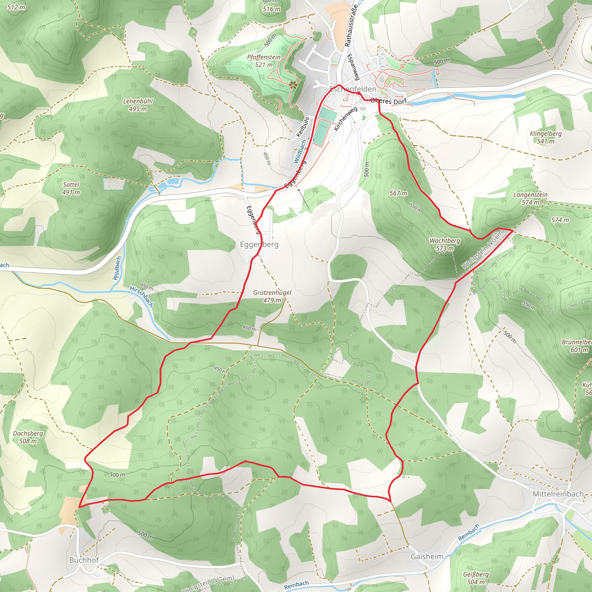
Starting near the picturesque town of Amberg-Sulzbach in Germany, the Eschenfelden Rundweg is an 8 km (approximately 5 miles) loop trail with an elevation gain of around 200 meters (656 feet). This medium-difficulty trail offers a delightful mix of natural beauty, historical landmarks, and opportunities for wildlife spotting.
Getting There
To reach the trailhead, you can either drive or use public transport. If you're driving, set your GPS to Eschenfelden, a small village near Amberg-Sulzbach. There is ample parking available near the village center. For those using public transport, take a train to Amberg station and then a local bus to Eschenfelden. The bus stop is conveniently located near the trailhead.
Trail Navigation
For navigation, it's highly recommended to use HiiKER, which provides detailed maps and real-time updates. The trail is well-marked, but having a reliable navigation tool will enhance your hiking experience.
Trail Highlights
Nature and Wildlife
The Eschenfelden Rundweg takes you through a variety of landscapes, including dense forests, open meadows, and rolling hills. The trail is particularly beautiful in spring and autumn when the foliage is vibrant. Keep an eye out for local wildlife such as deer, foxes, and a variety of bird species. The forested sections are home to ancient oak and beech trees, providing a serene canopy overhead.
Historical Significance
One of the most significant landmarks along the trail is the medieval Eschenfelden Church, located about 2 km (1.2 miles) from the starting point. This church dates back to the 12th century and is a fine example of Romanesque architecture. Another historical point of interest is the remnants of an old watchtower, situated approximately 5 km (3.1 miles) into the hike. This tower was part of a network of fortifications used during the Middle Ages to protect the region from invaders.
Elevation and Terrain
The trail features a moderate elevation gain of around 200 meters (656 feet), making it accessible for most hikers with a reasonable level of fitness. The initial part of the trail is relatively flat, but it gradually ascends as you move deeper into the forest. The highest point of the trail offers panoramic views of the surrounding countryside, making the climb well worth the effort.
Practical Tips
- Footwear: Given the mixed terrain, sturdy hiking boots are recommended.
- Weather: Check the weather forecast before you set out, as the trail can become slippery after rain.
- Supplies: Carry enough water and snacks, as there are no facilities along the trail.
- Wildlife: While wildlife sightings are common, it's advisable to maintain a safe distance and not to feed the animals.
Final Stretch
As you loop back towards Eschenfelden, the trail descends gently, offering a relaxing end to your hike. The final stretch takes you through a charming meadow, often dotted with wildflowers in the warmer months. This is a great spot to take a break and soak in the natural beauty before completing the loop back at the village.
The Eschenfelden Rundweg is a rewarding hike that combines natural splendor with historical intrigue, making it a must-visit for anyone in the Amberg-Sulzbach region.
Comments and Reviews
User comments, reviews and discussions about the Eschenfelden Rundweg, Germany.
4.0
average rating out of 5
1 rating(s)
