Download
3D Flyover
Add to list
More
136.8 km
~6 days
3680 m
Multi-Day
“Embark on the historic Hochrhöner trail, a scenic and culturally rich hiking odyssey through Germany's Rhön Biosphere Reserve.”
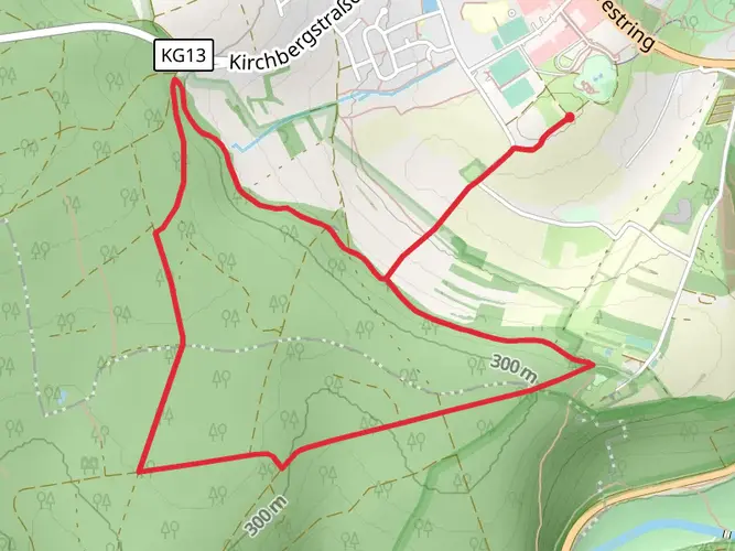
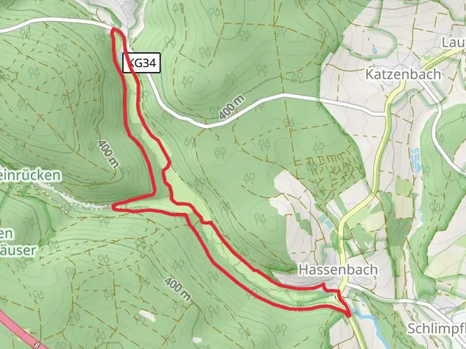
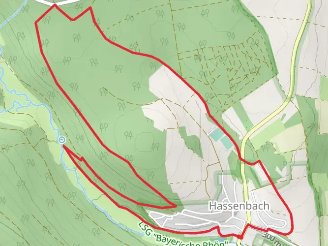
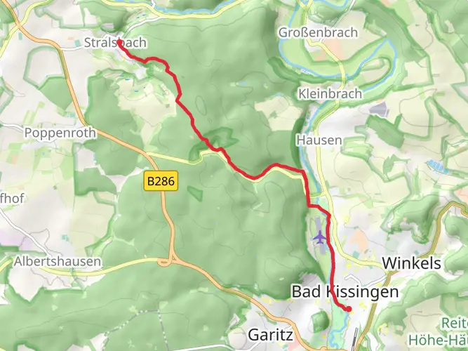
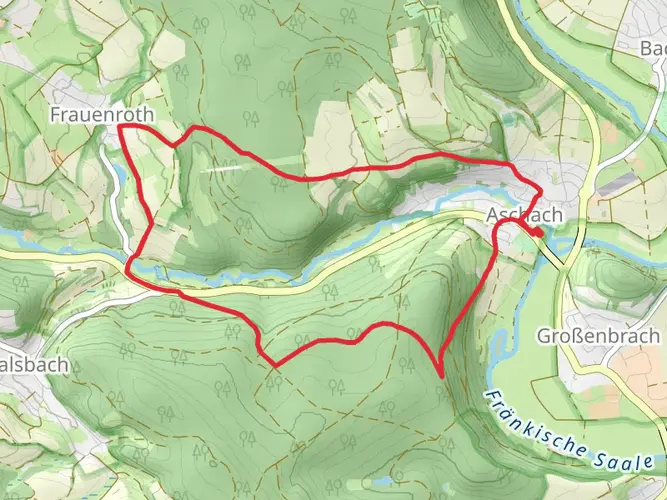
Embarking on the Hochrhöner trail, hikers will traverse a scenic route that spans approximately 137 kilometers (about 85 miles) with an elevation gain of around 3600 meters (nearly 11,800 feet). This point-to-point trail begins near the spa town of Bad Kissingen, Germany, renowned for its healing waters and picturesque parks.
Getting to the Trailhead
To reach the starting point of the Hochrhöner, hikers can utilize public transportation options such as trains and buses that service Bad Kissingen. For those driving, parking is available in the area. Once in Bad Kissingen, the trailhead is accessible and well-marked, making it easy to begin your journey.
Navigating the Trail
As you set out, ensure you have the HiiKER app downloaded for detailed maps and navigation aids. This will be an invaluable tool for staying on track and locating points of interest along the way.
Landmarks and Scenery
The trail offers a diverse landscape, winding through the rolling hills of the Rhön Biosphere Reserve, a UNESCO site. Hikers will encounter expansive views from atop the plateau, with the Feldberg, Wasserkuppe, and Heidelstein being some of the most prominent peaks in the region. The Wasserkuppe peak, standing at 950 meters (about 3117 feet), is particularly noteworthy as the highest point in the Rhön and a mecca for gliding sports.
Flora and Fauna
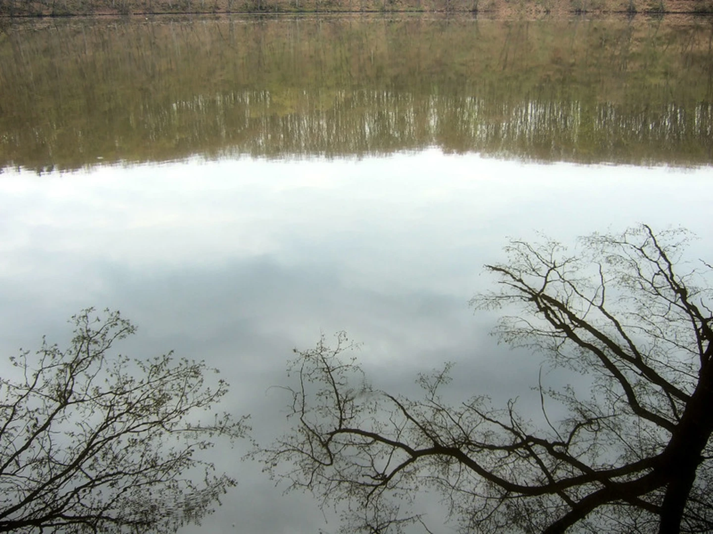
The Rhön region is a haven for wildlife enthusiasts, with its rich biodiversity. The trail meanders through lush beech forests, open moorlands, and river valleys, each supporting a variety of plant and animal life. Keep an eye out for rare orchids, birds of prey, and the occasional deer as you make your way through this natural mosaic.
Cultural and Historical Significance
The Hochrhöner trail is steeped in history, with numerous cultural landmarks along the route. Hikers will pass through charming villages and historical sites, including the Kreuzberg Monastery, where monks have brewed beer since the 1700s. The Point Alpha Memorial, a former U.S. observation post during the Cold War, offers a poignant reminder of Germany's divided past.
Trail Difficulty and Preparation
Rated as medium difficulty, the Hochrhöner is suitable for hikers with some experience. The trail is well-maintained with clear signage, but its length and elevation changes require a good level of fitness. It's advisable to pack for variable weather conditions and to carry sufficient water and snacks. Accommodations and refreshment stops are available in the towns and villages along the route, allowing for rest and resupply.
Conclusion
The Hochrhöner trail presents an opportunity to immerse oneself in the natural beauty and historical tapestry of the Rhön region. With proper preparation and the HiiKER app to guide you, this trail promises an enriching and memorable hiking experience.

Frequently asked questions
How long is the Hochrhöner and how many stages does the Kuppenrhön route usually take?
The Hochrhöner page here covers a 136.84 km section with 3,680 meters of climbing, which matches the Kuppenrhön route commonly described as the southern line of the trail. That distance is typically split into about 8 to 11 stages depending on daily mileage, terrain, and overnight stops in Rhön villages.
Is the Hochrhöner a circular hike or a point-to-point long-distance trail?
The Hochrhöner is a point-to-point long-distance trail, not a Rundwanderweg. This route runs through the Rhön region rather than looping back to the start, so transport planning matters at both ends. The broader Hochrhöner network also connects with many shorter circular day hikes called Extratouren.
What are the main highlights on the Hochrhöner in the Kuppenrhön and High Rhön?
Major highlights on the Hochrhöner include the open landscapes of the UNESCO Rhön Biosphere Reserve and several of the region’s best-known summits and moorland viewpoints. Named landmarks repeatedly associated with the route include Wasserkuppe, the highest peak in the Rhön at about 950 meters, Heidelstein, Kreuzberg, and the Rotes Moor area.
Are there official Hochrhöner stages and Etappen for planning a multi-day walk?
Yes. The Hochrhöner is widely organized and signposted as a staged long-distance walk, making it practical to break the route into manageable Etappen. Stage lengths vary, but the full Kuppenrhön distance of about 136.84 km means most walkers plan a week or more on trail, while stronger hikers may combine shorter stages.
What are the Hochrhöner Extratouren and are they part of the main trail?
The Hochrhöner Extratouren are separate premium day hikes linked to the same Rhön hiking network rather than being the main through-route itself. Across the region there are more than 30 of these circular walks, designed as shorter outings of varying length and difficulty that connect with towns and access points around the Hochrhöner corridor.
Is the Hochrhöner considered a difficult hike?
The Hochrhöner is generally considered a medium-difficulty multi-day hike. Over 136.84 km it gains about 3,680 meters, so the challenge comes less from technical terrain and more from sustained daily distance, repeated climbs, and the logistics of carrying gear across several days in the Rhön uplands.
Comments and Reviews
User comments, reviews and discussions about the Hochrhöner, Germany.
4.6
average rating out of 5
5 rating(s)