Download
3D Flyover
Add to list
More
114.4 km
~5 days
1512 m
Multi-Day
“Embark on the Zweiländerweg Rodachtal for a historic and scenic hike through Germany's verdant landscapes.”
The Zweiländerweg Rodachtal is a captivating journey that spans approximately 114 kilometers (about 71 miles) and ascends roughly 1500 meters (about 4921 feet) in elevation. This point-to-point trail begins near the historic town of Coburg, Germany, and offers hikers a medium difficulty trek through a landscape rich with cultural and natural beauty.
Getting to the Trailhead
To reach the starting point of the Zweiländerweg Rodachtal, hikers can travel to Coburg, which is well-connected by public transport. From the Coburg train station, local buses can take you closer to the trailhead. If arriving by car, parking is available in the vicinity of Coburg, and from there, you can navigate to the trail's commencement point using HiiKER for precise directions.
Navigating the Trail
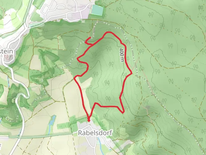
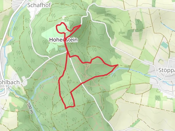
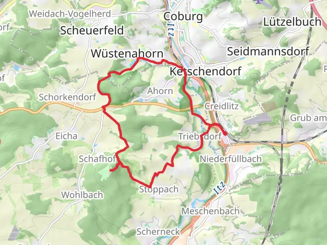
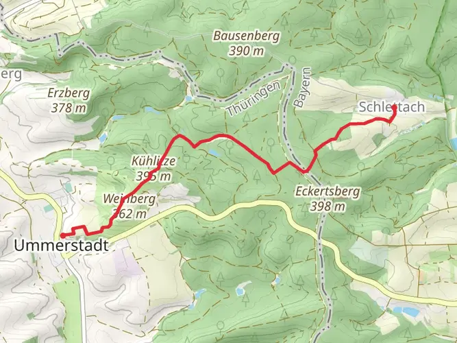
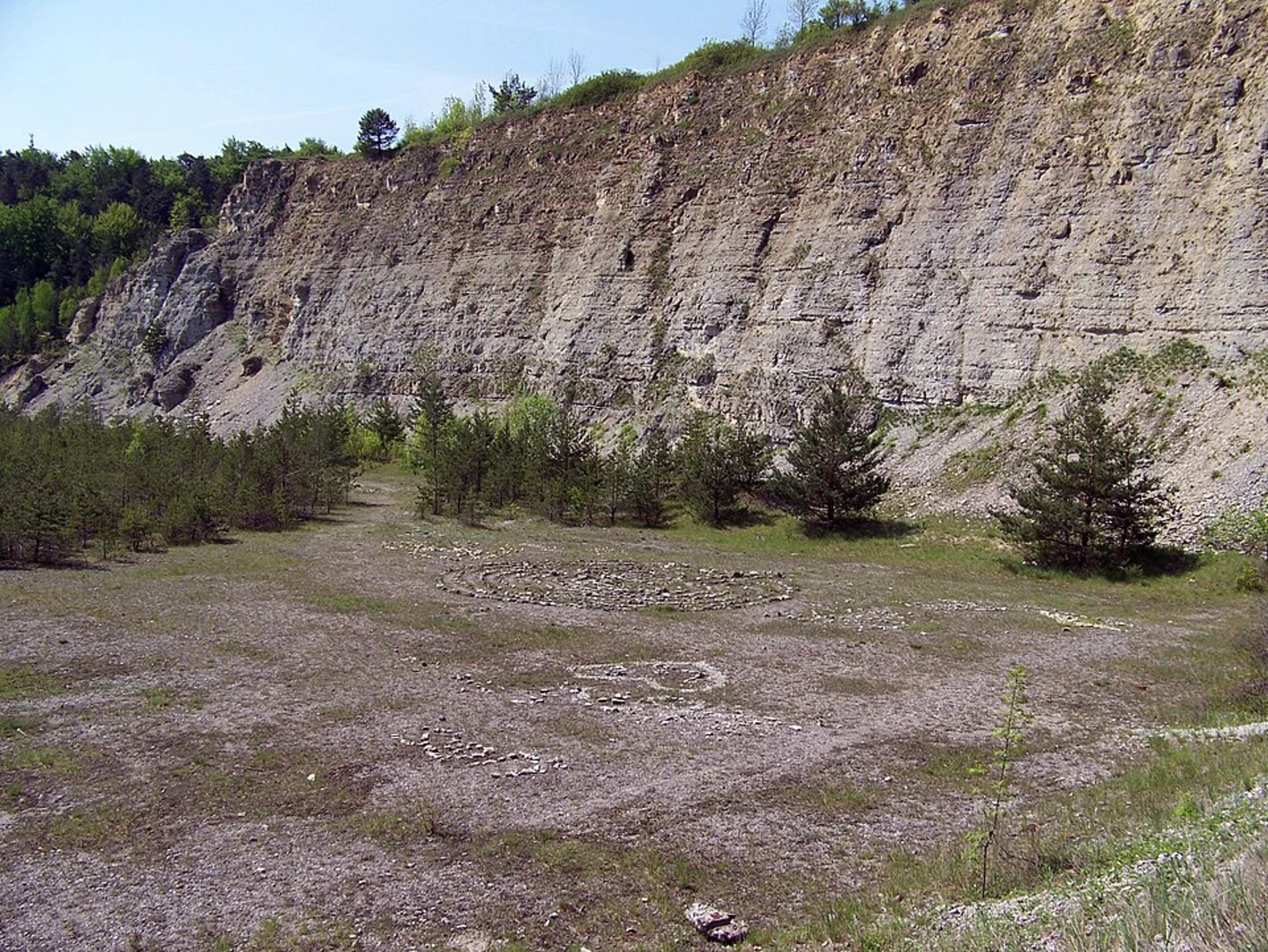
The trail meanders through the serene Rodachtal valley, where hikers can immerse themselves in the lush greenery of the Franconian Forest and the Thuringian Slate Mountains. The path is well-marked, guiding adventurers through a variety of terrains including dense forests, rolling hills, and tranquil riverbanks.
Historical Significance and Landmarks
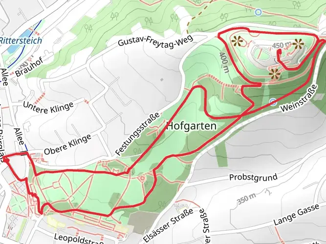
As you traverse the Zweiländerweg Rodachtal, you'll be walking through a region steeped in history. Coburg itself is known for its rich heritage, including the Coburg Fortress, which is one of the largest castles in Germany. Along the trail, you'll encounter charming villages and towns, each with their own historical landmarks and unique stories.
Natural Beauty and Wildlife
The trail offers an abundance of natural sights, from the panoramic views atop the surrounding hills to the intimate encounters with the region's flora and fauna. Birdwatchers will delight in the variety of species that can be observed, and the changing seasons bring a dynamic display of colors and wildlife activity.
Preparation and Planning
Before embarking on the Zweiländerweg Rodachtal, hikers should ensure they are well-prepared with appropriate gear for varying weather conditions. The trail can be completed in sections for those preferring shorter hikes, or over several days for a more immersive experience. There are designated rest areas and accommodations along the route, allowing for comfortable planning of overnight stays.
Navigation Tools
For up-to-date trail information and navigation, HiiKER is an invaluable tool for hikers on the Zweiländerweg Rodachtal. It provides detailed maps and waypoints, ensuring that you can stay on course and enjoy the highlights of the trail without the worry of getting lost.
Whether you're seeking a challenging trek or a peaceful walk through history and nature, the Zweiländerweg Rodachtal is a trail that promises a memorable experience for every hiker.

Frequently asked questions
How long does the Zweiländerweg Rodachtal take to hike?
The Zweiländerweg Rodachtal is about 114.38 km long and is typically completed in around 6 days. It is a multi-day point-to-point route, so most hikers break it into daily stages rather than attempting it as a single long trek.
How difficult is the Zweiländerweg Rodachtal and how much climbing is involved?
The Zweiländerweg Rodachtal is generally rated medium difficulty. Over the full route it gains about 1,512 meters, so the challenge comes from sustained daily mileage and repeated rolling climbs rather than one major alpine ascent.
Where does the Zweiländerweg Rodachtal start and finish?
The route begins in the Coburg area and runs through the Rodachtal region on a point-to-point line. Published stage information places an early start near Neundorf in the Coburg district and a finish near Neumühle in Bad Rodach, linking the Bavarian and Thuringian sides of the Rodach valley.
What towns and landmarks are on the Zweiländerweg Rodachtal?
The Zweiländerweg Rodachtal passes through or near places including Seßlach, Heldburg, Streufdorf, and Bad Rodach. Notable sights associated with the route include Schloss Wiesen, the Christenstein viewpoint, Burgruine Straufhain, and Veste Heldburg, giving the trail a strong mix of landscape and regional history.
Can the Zweiländerweg Rodachtal be hiked in stages?
Yes. The Zweiländerweg Rodachtal is commonly divided into stages, and published route breakdowns describe it as a seven-stage long-distance walk. That format makes sense for a 114 km route, especially for hikers planning overnight stops in towns such as Seßlach, Heldburg, Streufdorf, and Bad Rodach.
How do you get to the Zweiländerweg Rodachtal from Coburg?
Coburg is the main access hub for the Zweiländerweg Rodachtal and is well connected by rail and road. From Coburg, local transit can be used to reach the start area, and Bad Rodach also has a rail station, which helps with end-to-end logistics on this point-to-point route.
Comments and Reviews
User comments, reviews and discussions about the Zweiländerweg Rodachtal, Germany.
5.0
average rating out of 5
6 rating(s)