Download
3D Flyover
Add to list
More
10.0 km
~2 hrs 17 min
176 m
Loop
“Discover Eichstätt's enchanting 10 km loop, blending lush nature, historical landmarks, and moderate hiking challenges.”
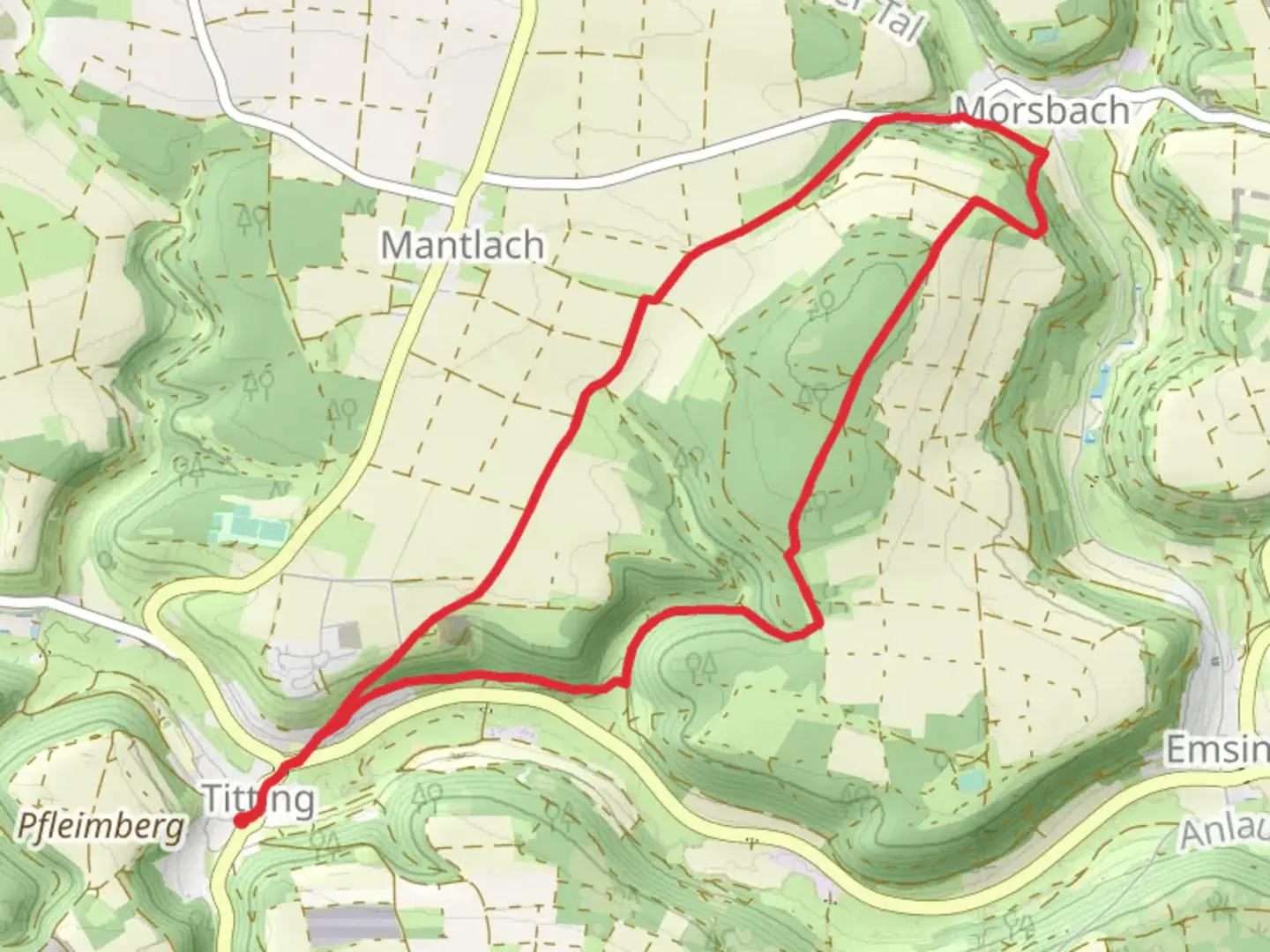
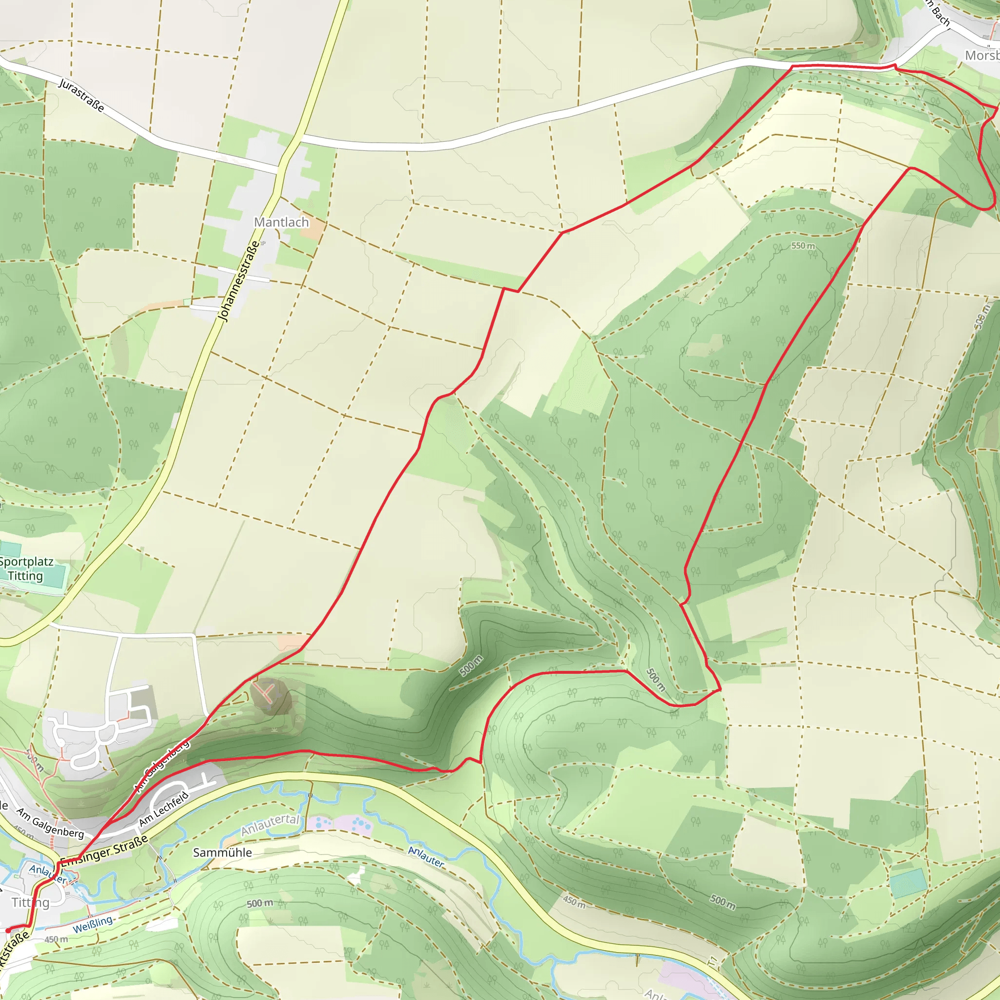
Starting near the picturesque town of Eichstätt in Germany, this 10 km (6.2 miles) loop trail offers a delightful mix of natural beauty and historical intrigue. With an elevation gain of approximately 100 meters (328 feet), the trail is rated as medium difficulty, making it accessible to most hikers with a moderate level of fitness.
Getting There
To reach the trailhead, you can either drive or use public transport. If driving, head towards Eichstätt, where ample parking is available near the town center. For those using public transport, Eichstätt is well-connected by train and bus services. The nearest train station is Eichstätt Stadt, from where you can either walk or take a short bus ride to the trailhead.
Trail Navigation
For navigation, it is highly recommended to use the HiiKER app, which provides detailed maps and real-time updates to ensure you stay on track.
Trail Highlights
As you embark on the trail, you'll first encounter the lush greenery of the Altmühl Valley Nature Park. This area is renowned for its diverse flora and fauna, so keep an eye out for native wildlife such as deer, foxes, and a variety of bird species. The trail meanders through dense forests and open meadows, offering a serene and varied hiking experience.
Historical Significance
One of the most captivating aspects of this trail is its historical significance. Eichstätt itself is a town rich in history, dating back to Roman times. As you hike, you'll come across several landmarks that tell the story of the region's past. Notably, the trail passes by the Willibaldsburg Castle, a fortress that dates back to the 14th century. The castle now houses a museum and offers panoramic views of the surrounding landscape.
Points of Interest
Around the 5 km (3.1 miles) mark, you'll reach a scenic viewpoint that offers breathtaking vistas of the Altmühl River winding through the valley below. This is an excellent spot to take a break and soak in the natural beauty.
Continuing on, the trail leads you through a series of limestone cliffs and rock formations, which are characteristic of the Franconian Jura region. These geological features are not only visually stunning but also provide a glimpse into the area's ancient past.
Flora and Fauna
The trail is a haven for nature enthusiasts. Depending on the season, you may encounter a variety of wildflowers, including orchids and gentians. The mixed deciduous forests are home to oak, beech, and maple trees, creating a vibrant tapestry of colors, especially in the autumn months.
Final Stretch
As you near the end of the loop, the trail descends gently back towards Eichstätt. The final stretch takes you through charming rural landscapes, dotted with traditional Bavarian farmhouses. This section is relatively flat, allowing for a leisurely finish to your hike.
Practical Tips
- Wear sturdy hiking boots, as some sections of the trail can be rocky and uneven.
- Bring sufficient water and snacks, especially if you plan to take your time exploring the various points of interest.
- Check the weather forecast before setting out, as conditions can change rapidly in this region.
- Use the HiiKER app for real-time navigation and updates.
This trail offers a perfect blend of natural beauty, historical landmarks, and moderate physical challenge, making it a rewarding experience for any hiker.
Comments and Reviews
User comments, reviews and discussions about the Standeslohweg, Germany.
4.5
average rating out of 5
2 rating(s)
