Download
3D Flyover
Add to list
More
9.9 km
~2 hrs 22 min
230 m
Loop
“The Hagebuttenweg trail offers stunning landscapes and historical landmarks, perfect for moderately skilled hikers.”
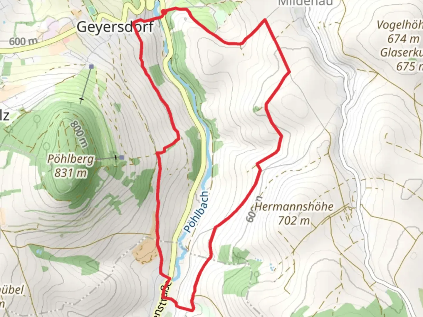
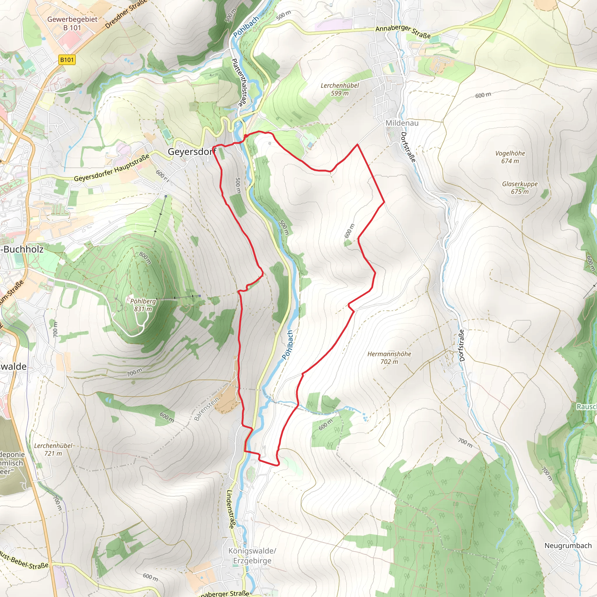
Starting near Erzgebirgskreis, Germany, the Hagebuttenweg trail is a delightful 10 km (6.2 miles) loop with an elevation gain of approximately 200 meters (656 feet). This medium-difficulty trail offers a rich blend of natural beauty and historical significance, making it a rewarding experience for hikers of various skill levels.
Getting There
To reach the trailhead, you can drive or use public transport. If driving, set your GPS to Erzgebirgskreis, and look for parking near the village of Seiffen, a well-known location in the region. For those using public transport, take a train to the nearest major station in Chemnitz and then a bus to Seiffen. The trailhead is conveniently located near the village center.
Trail Navigation
For navigation, HiiKER is an excellent tool to use. It provides detailed maps and real-time updates to ensure you stay on the right path.
Trail Highlights
The trail begins with a gentle ascent through dense forests, where you can enjoy the serene ambiance and the sound of rustling leaves. After about 2 km (1.2 miles), you'll reach the first significant landmark, the Seiffen Church, a charming baroque-style church that dates back to the 18th century. This area is perfect for a short break and some photographs.
Continuing on, the trail meanders through picturesque meadows and offers stunning views of the Erzgebirge Mountains. Around the 5 km (3.1 miles) mark, you'll encounter the Huthaus, an old mining house that serves as a reminder of the region's rich mining history. This area is particularly interesting for history buffs, as Erzgebirgskreis was once a major mining hub in Germany.
Flora and Fauna
The Hagebuttenweg trail is abundant with diverse flora and fauna. In the spring and summer months, the meadows are adorned with wildflowers, and you might spot deer, foxes, and various bird species. The trail is named after the rose hips (Hagebutten in German) that grow abundantly in the area, especially in late summer and autumn.
Elevation and Terrain
The trail's elevation gain of 200 meters (656 feet) is spread out over the 10 km (6.2 miles), making it a manageable hike for those with moderate fitness levels. The terrain varies from forest paths to open meadows, with some rocky sections that require careful footing. Good hiking boots are recommended.
Final Stretch
As you approach the final 2 km (1.2 miles) of the loop, the trail descends gently back towards Seiffen. This section offers panoramic views of the village and the surrounding landscape, providing a perfect end to your hike.
Practical Information
Ensure you carry enough water, especially during the warmer months, and pack a light snack or picnic to enjoy at one of the scenic spots along the trail. The trail is well-marked, but having HiiKER on hand will enhance your navigation experience.
The Hagebuttenweg trail offers a perfect blend of natural beauty, historical landmarks, and moderate physical challenge, making it an ideal choice for a day hike in the Erzgebirgskreis region.
Comments and Reviews
User comments, reviews and discussions about the Hagebuttenweg, Germany.
4.0
average rating out of 5
3 rating(s)
