Download
3D Flyover
Add to list
More
11.0 km
~2 hrs 14 min
32 m
Loop
“This 11 km loop near Heidekreis blends lush nature, historical markers, and moderate challenge, ideal for diverse hikers.”
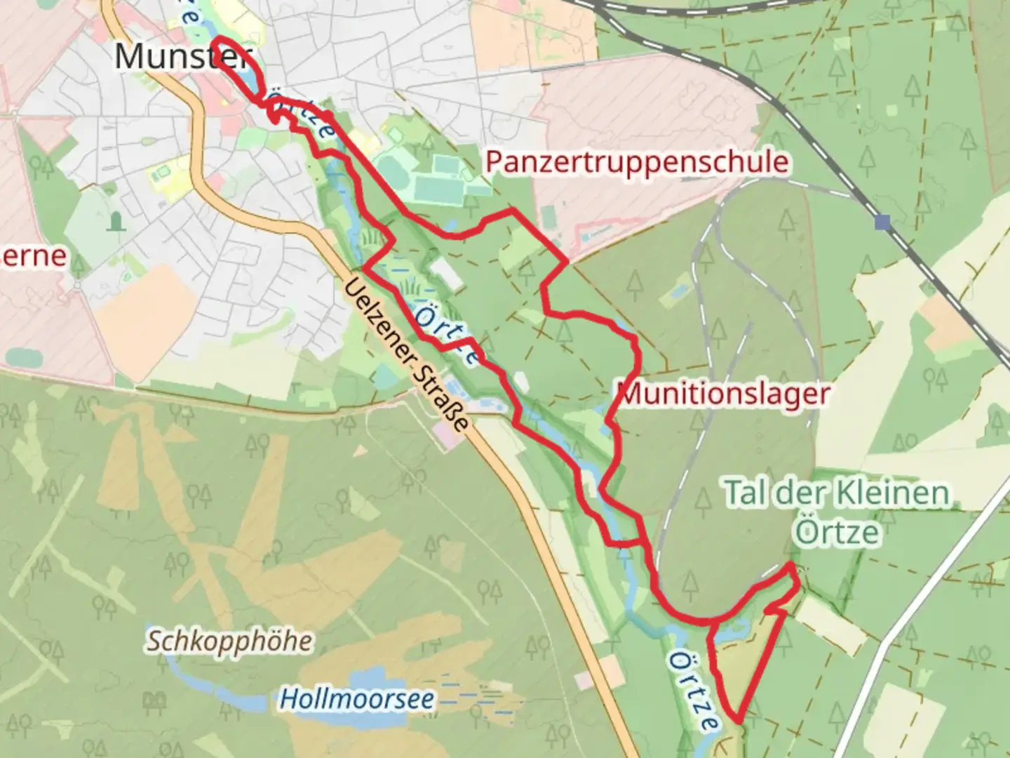
Starting near Heidekreis, Germany, this 11 km (approximately 6.8 miles) loop trail offers a delightful mix of natural beauty and historical intrigue. With no significant elevation gain, it is accessible to a wide range of hikers, making it a medium-difficulty trail primarily due to its length rather than terrain challenges.
Getting There
To reach the trailhead, you can drive or use public transport. If driving, set your GPS to Heidekreis, Germany, and look for parking near the starting point. For those using public transport, the nearest significant landmark is the Heidekreis train station. From there, local buses or a short taxi ride can get you to the trailhead.
Trail Overview
The trail begins near the serene Muehlenteich, a picturesque pond that sets a tranquil tone for your hike. As you start, you'll be greeted by lush greenery and the gentle sounds of water, making it an ideal spot for a moment of reflection before you embark on the journey.
Key Landmarks and Nature
Around the 2 km (1.2 miles) mark, you'll come across the Oertzweg, a charming path that meanders through dense forests. This section is particularly rich in flora and fauna, so keep your eyes peeled for local wildlife such as deer, foxes, and a variety of bird species. The forest canopy provides ample shade, making it a comfortable walk even on warmer days.
Historical Significance
As you continue, you'll encounter several historical markers that offer a glimpse into the region's past. The Heidekreis area has a rich history dating back to medieval times, and remnants of old mills and ancient pathways can still be seen. These markers provide an excellent opportunity to pause and appreciate the historical context of the landscape you're traversing.
Navigation and Safety
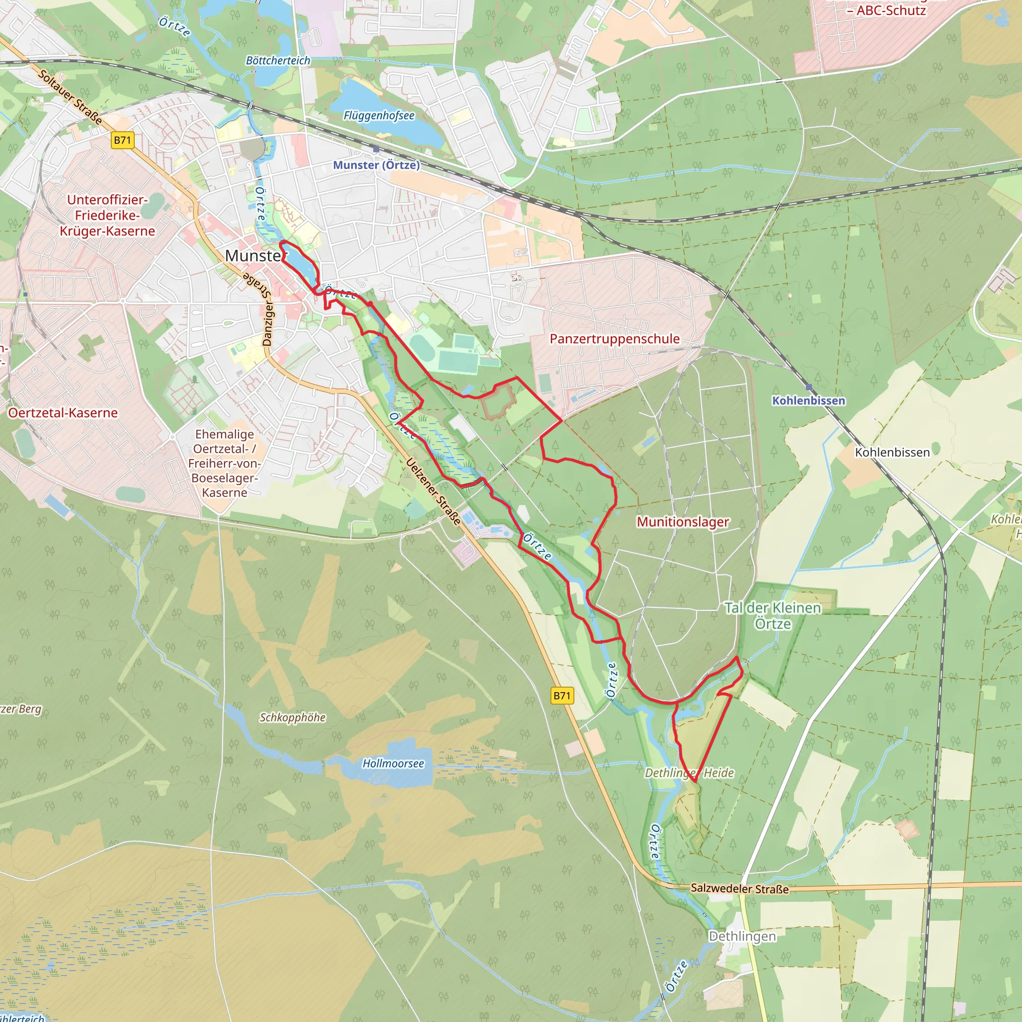
Given the trail's loop nature, navigation is relatively straightforward. However, it's always wise to have a reliable navigation tool like HiiKER to ensure you stay on track. The trail is well-marked, but intersections with other paths can sometimes be confusing, so double-check your route at these points.
Final Stretch
The final stretch of the trail brings you back towards Muehlenteich, completing the loop. This section is more open, with fields and meadows replacing the dense forest. It's a great spot to take in the expansive views and perhaps enjoy a picnic before concluding your hike.
Wildlife and Flora
Throughout the hike, you'll encounter a diverse range of plant life, from towering oaks to delicate wildflowers. The area is also a haven for birdwatchers, with species like the European robin and the great tit frequently spotted.
Practical Tips
- Wear comfortable hiking shoes, as the terrain can be uneven in places.
- Bring water and snacks, especially if you plan to take your time exploring the historical sites.
- Check the weather forecast before you go, as the trail can become muddy after rain.
This 11 km loop trail near Heidekreis offers a balanced mix of natural beauty, historical intrigue, and moderate physical challenge, making it a rewarding experience for hikers of all levels.
Comments and Reviews
User comments, reviews and discussions about the Muehlenteich via Oertzweg, Germany.
4.67
average rating out of 5
3 rating(s)
