Download
3D Flyover
Add to list
More
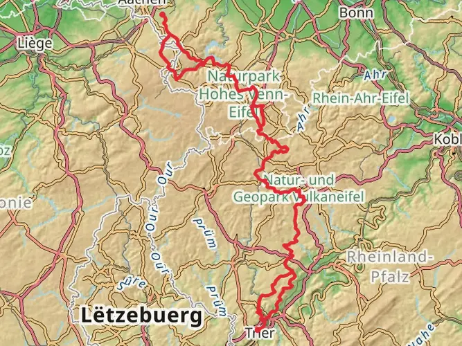
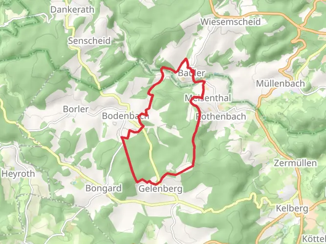
74.5 km
~3 days
1268 m
Multi-Day
“Embark on Germany's scenic Der Lieserpfad, a historical and diverse 74km hike through the heart of the Eifel region.”
The Der Lieserpfad is a captivating trail that stretches approximately 74 kilometers (about 46 miles) and features an elevation gain of around 1200 meters (roughly 3937 feet). This point-to-point trail is nestled in the picturesque landscapes near Kelberg, Germany, and is rated as medium difficulty, making it accessible to hikers with a reasonable level of fitness.
Getting to the Trailhead
To reach the starting point of the Der Lieserpfad, hikers can either drive or use public transportation. If driving, the trailhead is located near the town of Kelberg. For those opting for public transport, buses and trains serve the region, and the nearest significant landmark to the trailhead is the town of Daun, which is well-connected to larger cities like Koblenz.
Navigating the Trail
Hikers can rely on the HiiKER app for detailed navigation throughout the trail. The app provides valuable information on the route, including waypoints and points of interest.
Trail Highlights and Landmarks
As you embark on the Der Lieserpfad, you'll traverse through lush forests, open meadows, and along the serene Lieser River, which is a constant companion throughout the hike. The trail offers a mix of terrains, including rocky paths, wooden bridges, and smooth dirt tracks, providing a diverse hiking experience.
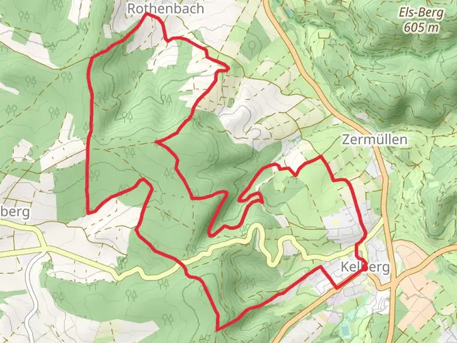
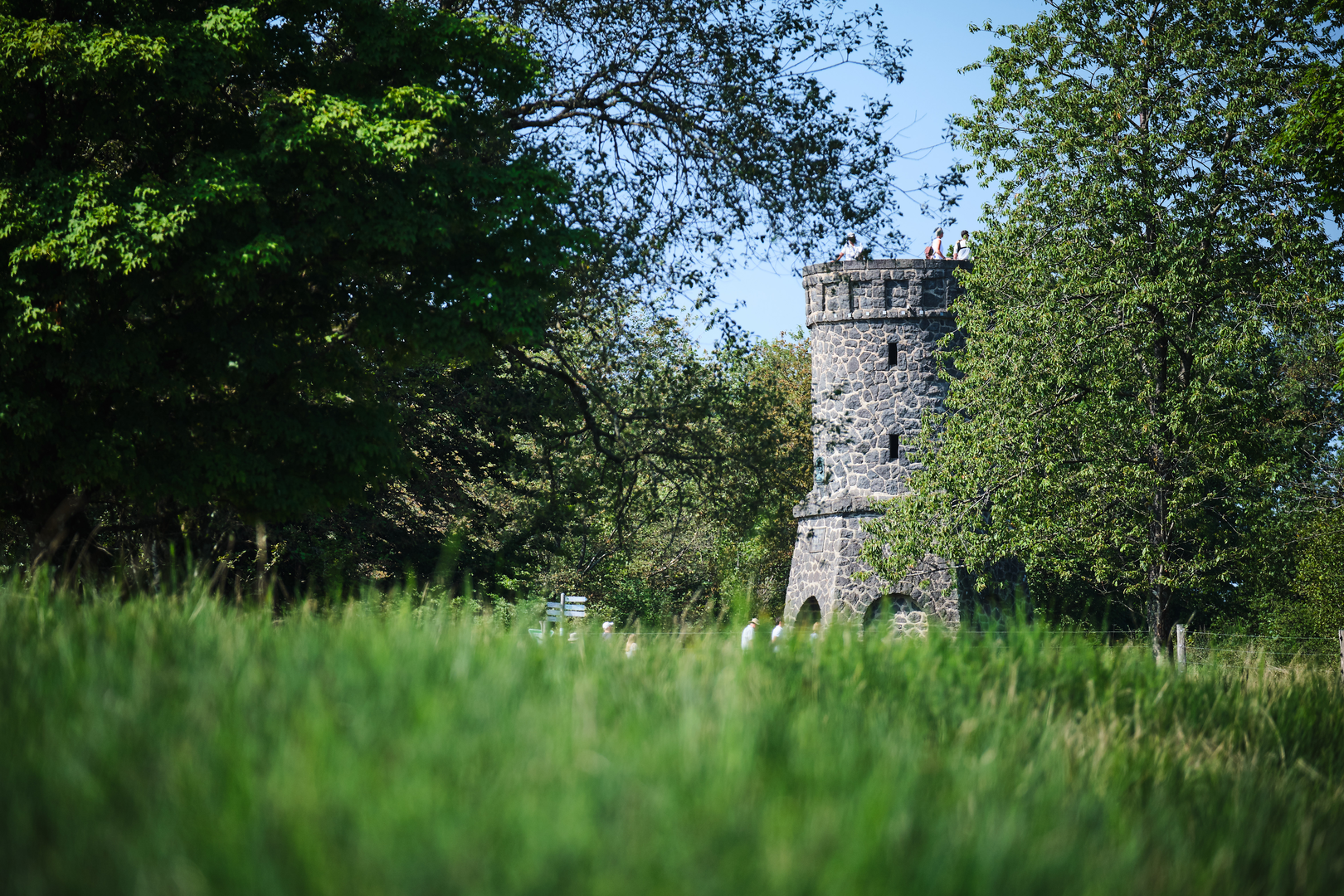
One of the early landmarks on the trail is the imposing Manderscheid Castles, approximately 20 kilometers (12 miles) from the start. These twin castles offer a glimpse into the region's medieval past and are a perfect spot for a rest and some exploration.
Further along, hikers will encounter the Meerfelder Maar, one of the many volcanic crater lakes in the Eifel region. This natural wonder, located around the halfway point of the trail, is a testament to the area's geological history.
Flora and Fauna
The Der Lieserpfad is home to a variety of wildlife, including deer, foxes, and numerous bird species. The trail also winds through diverse ecosystems, from deciduous woodlands to coniferous forests, allowing hikers to witness a range of plant life, including rare orchids and vibrant wildflowers in the spring and summer months.
Historical Significance
The region surrounding the Der Lieserpfad is steeped in history. The trail itself takes hikers through areas that have been shaped by volcanic activity, as well as through landscapes that have been cultivated and inhabited for centuries. The presence of castles and ancient ruins along the route provides a rich historical context to the natural beauty of the trail.
Preparation and Planning
Before setting out on the Der Lieserpfad, hikers should ensure they are well-prepared with appropriate gear, including sturdy hiking boots, weather-appropriate clothing, and sufficient water and food. Given the trail's length, it's advisable to plan for overnight stays in the towns along the route, where accommodations and restaurants can be found.
Remember to check the weather forecast and trail conditions prior to departure, as some sections of the trail may become challenging during adverse weather. It's also wise to inform someone of your hiking plans and expected return time for safety reasons.
With its enchanting landscapes, historical landmarks, and diverse natural beauty, the Der Lieserpfad offers an unforgettable hiking experience in the heart of Germany's Eifel region.

Frequently asked questions
How long does it take to hike Der Lieserpfad from start to finish?
Der Lieserpfad is 74.46 km long with 1,268 m of elevation gain, so it is usually treated as a multi-day route rather than a single-day hike. The trail is commonly split into four stages running from the source area near Boxberg through Daun, Manderscheid, and Wittlich to Lieser on the Moselle, with Manderscheid Castles as one of the standout landmarks on the way.
Is Der Lieserpfad difficult or dangerous in places?
Der Lieserpfad is generally rated medium, but some sections are more demanding than that label suggests. The stretch from Manderscheid toward Wittlich is known for narrow, rocky paths, repeated climbs and descents, steep slate-sided terrain, bridges, and wooden walkways along the Lieser valley, so sure footing matters, especially after rain.
What is Der Lieserpfad Etappe 2 and where does it go?
Der Lieserpfad Etappe 2 is the stage from Daun to Manderscheid. It links two of the best-known towns on the route and leads into the section where the Lieser valley becomes more dramatic, with Manderscheid Castles marking one of the major historic highlights on the overall trail.
What is the most scenic section of Der Lieserpfad?
The Manderscheid to Wittlich section is often treated as the most scenic part of Der Lieserpfad. That stage combines close river walking with narrow forest paths, steep rock formations, wooden footbridges, and repeated viewpoints, including views around the Manderscheid Castles and lookout spots such as the Schmitthütte and Pellenzkanzel area.
Can Der Lieserpfad be hiked as a loop or Rundwanderweg?
Der Lieserpfad itself is not a loop. It is a point-to-point trail of 74.46 km that follows the Lieser valley south through places including Daun, Manderscheid, and Wittlich toward Lieser on the Moselle, so a return trip usually needs transport planning rather than a simple circuit back to the start.
Are there places to stay along Der Lieserpfad?
Yes. Because Der Lieserpfad passes through established trail towns including Daun, Manderscheid, and Wittlich, overnight stays are typically planned around those settlements rather than remote backcountry camping. That makes it practical to break the 74.46 km route into multi-day stages with lodging near stage endpoints.
Can you hike Der Lieserpfad without carrying luggage?
Der Lieserpfad is well suited to a hut-to-town style itinerary because it passes through towns such as Daun, Manderscheid, and Wittlich on its way to Lieser. That layout makes light-packing itineraries realistic, but luggage transfer is not an inherent feature of the trail itself and should be arranged separately if needed.
Comments and Reviews
User comments, reviews and discussions about the Der Lieserpfad, Germany.
4.71
average rating out of 5
7 rating(s)