Download
3D Flyover
Add to list
More
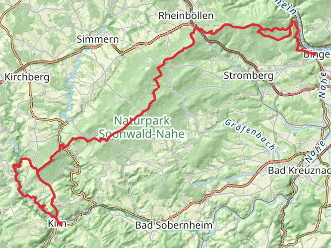
94.9 km
~4 days
1798 m
Multi-Day
“Experience the fusion of natural splendor and historical charm on Germany's scenic Weinwanderweg Rhein-Nahe trail.”
Embarking on the Weinwanderweg Rhein-Nahe, hikers will traverse approximately 95 kilometers (about 59 miles) of picturesque landscapes in the heart of Germany's wine country. With an elevation gain of roughly 1700 meters (approximately 5577 feet), the trail offers a medium difficulty level, suitable for hikers with some experience.
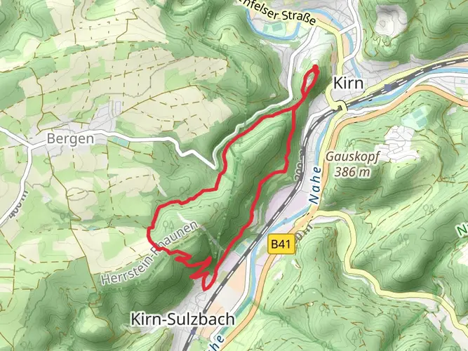
Starting Point and How to Get There The journey begins near Kirner Land, a region known for its scenic beauty and cultural heritage. To reach the trailhead, travelers can drive to the vicinity of Kirner Land or use public transport. The nearest train station is in Kirn, from where you can take a taxi or a local bus to the starting point of the hike.
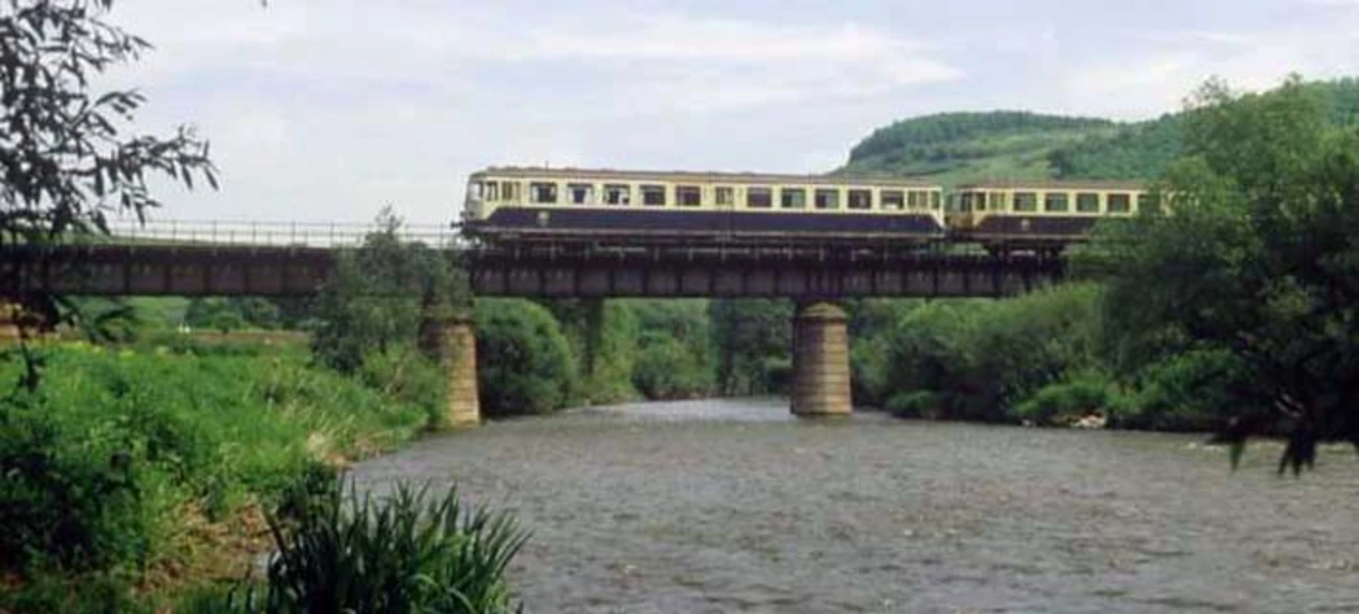
Navigating the Trail As you set out, the HiiKER app will be an invaluable tool for navigation, providing detailed maps and waypoints to ensure you stay on the right path. The trail is well-marked, guiding hikers through vineyards, quaint villages, and along the banks of the Nahe River.
Landmarks and Scenery The Weinwanderweg Rhein-Nahe is not only a journey through nature but also a passage through time. The trail meanders past ancient castles, historic monasteries, and ruins that tell tales of the region's past. Notable landmarks include the Ebernburg Castle, which stands as a sentinel over the Nahe Valley, and the Rotenfels, a striking natural rock formation that offers panoramic views of the surrounding vineyards.
Viticulture and Wildlife The trail is a celebration of viticulture, with opportunities to visit local wineries and taste the region's renowned Rieslings and other varietals. The changing seasons bring different hues to the vineyards, from the lush greens of summer to the golden tones of autumn. Wildlife enthusiasts may spot a variety of birds, including the rare peregrine falcon, as well as deer and foxes in the more secluded areas.
Historical Significance The Rhein-Nahe region has a rich history of winemaking, with traditions that date back to Roman times. Hikers will encounter historical sites that reflect the area's long-standing connection to viticulture, including old wine presses and ancient vineyard terraces.
Preparation and Planning Before setting out, hikers should ensure they have adequate supplies, including water, snacks, and a first-aid kit. The trail can be completed in sections, with accommodations available in the villages along the route for those who wish to take their time and soak in the local culture. It's recommended to plan overnight stays in advance, especially during the peak season.
Seasonal Considerations The best times to hike the Weinwanderweg Rhein-Nahe are spring through fall when the weather is mild and the landscape is at its most vibrant. Each season offers a unique experience, from the blossoming of flowers in spring to the harvest season in late summer and early fall.
Remember to respect the natural environment and the local communities you'll be visiting. Leave no trace, and be mindful of the impact your journey may have on the wildlife and the ecosystem.

Frequently asked questions
How long is the Weinwanderweg Rhein-Nahe and where does it start and finish?
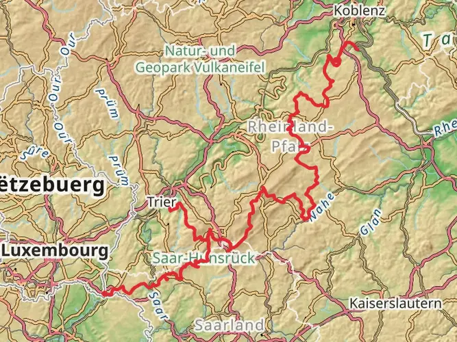
The Weinwanderweg Rhein-Nahe is 94.92 km long, so it is usually treated as a multi-day hike rather than a single long day walk. The route begins in Kirn and runs through the wine-growing landscape of the middle and lower Nahe, finishing at the Nahe’s confluence with the Rhine in Bingen.
How difficult is the Weinwanderweg Rhein-Nahe and how much climbing does it have?
The Weinwanderweg Rhein-Nahe is rated medium difficulty, with 1,798 meters of total elevation gain over nearly 95 km. That makes it manageable for hikers with some experience, but the repeated climbs through vineyard slopes, valleys, and hill sections mean it is more demanding than a flat riverside walk.
Can the Weinwanderweg Rhein-Nahe be hiked in stages?
Yes. The Weinwanderweg Rhein-Nahe is a multi-day route of about 95 km, so it is well suited to being split into stages. Because it runs from Kirn to Bingen through the middle and lower Nahe wine region, many hikers break it into several shorter days based on overnight stops in wine villages and towns along the route.
What kind of terrain does the Weinwanderweg Rhein-Nahe follow?
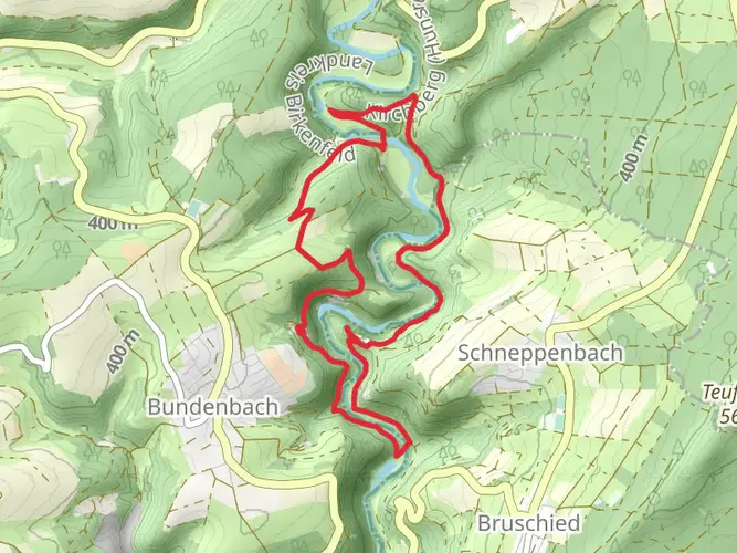
Large parts of the Weinwanderweg Rhein-Nahe follow gravel and paved vineyard farm tracks, which helps make the route walkable in almost any weather. The trail also passes through a varied landscape of vineyards, forest, meadows, rocky sections, and wine villages between Kirn and Bingen.
What are the main sights on the Weinwanderweg Rhein-Nahe?
The Weinwanderweg Rhein-Nahe is known for combining vineyard scenery with major landmarks in the Nahe valley. Highlights along the wider route include Ebernburg Castle and the dramatic Rotenfels rock formation, as well as views across the middle and lower Nahe wine region before the trail reaches Bingen at the Rhine.
Is the Weinwanderweg Rhein-Nahe a good option for a wine hiking trip in the Nahe region?
Yes. The Weinwanderweg Rhein-Nahe was created specifically to connect hiking with the Nahe wine landscape, covering the middle and lower Nahe wine-growing area over roughly 95 km. Along the route, the trail passes wine villages where regional food and local wine culture are a central part of the experience.
Comments and Reviews
User comments, reviews and discussions about the Weinwanderweg Rhein-Nahe, Germany.
4.5
average rating out of 5
6 rating(s)