Download
3D Flyover
Add to list
More
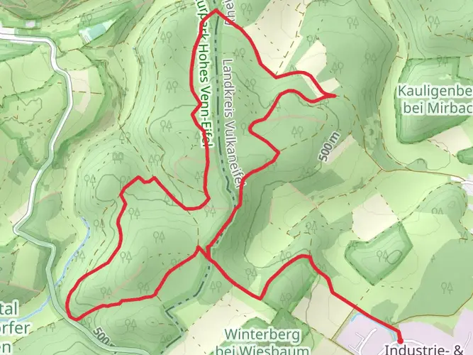
74.1 km
~3 days
1314 m
Multi-Day
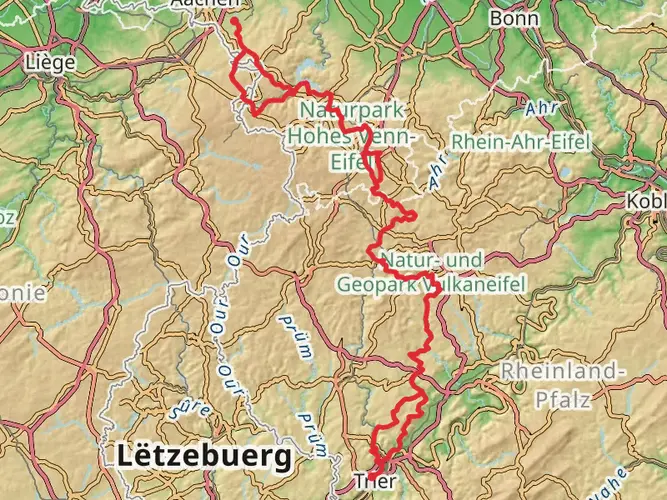
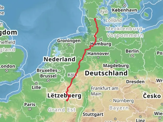
The Eifeler Quellenpfad is a 74.1 km trail that starts in , Kreis Euskirchen, Germany. Based on our data, the hike is graded as Medium. For information on how we grade trails, please read measuring the difficulty of a hiking trail on hiiker. Also, check our latest community posts for trail updates. This hike can be completed in approx 3 days. Caution is advised on trail times as this depends on multiple variables. For more info read about how we calculate hike time.

Frequently asked questions
How long does the Eifeler Quellenpfad take to hike?
The Eifeler Quellenpfad is a 74.09 km multi-day route that is commonly walked in 3 stages. Official stage planning in the region breaks it into roughly 24 to 26 km per day: Kronenburg to Blankenheim, Blankenheim to Nettersheim, and Nettersheim back to Kronenburg.
Is the Eifeler Quellenpfad a loop or a point-to-point hike?
The Eifeler Quellenpfad is a circular long-distance hike. The route forms a loop around the spring country of the northern Eifel, linking places including Kronenburg, Blankenheim, and Nettersheim, so the start and finish can be set in the same area.
What are the main highlights on the Eifeler Quellenpfad?
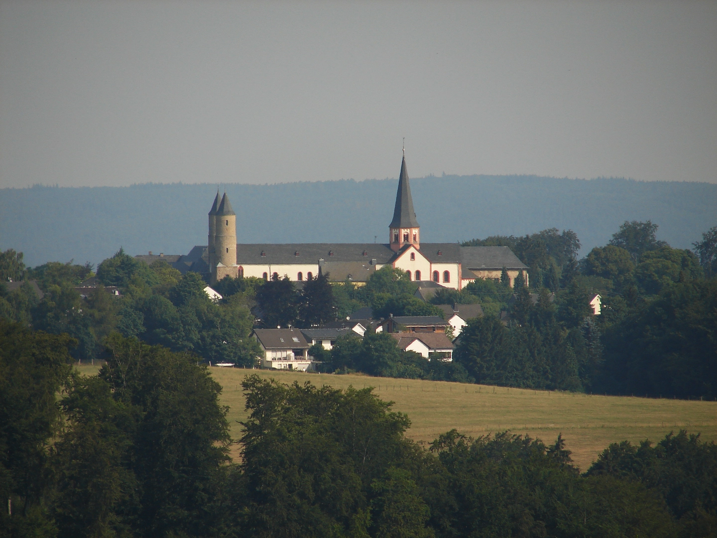
The Eifeler Quellenpfad is built around the springs and headwaters of the region. Key highlights include the Ahr spring in Blankenheim, the Urft spring, the Roman water conduit source capture known as the Grüner Pütz near Nettersheim, and the historic castle village of Kronenburg.
How hard is the Eifeler Quellenpfad?
The Eifeler Quellenpfad is generally rated medium difficulty. Over 74.09 km it gains 1,314 m of elevation, so it is not especially technical, but it does require solid day-after-day fitness for three long stages through valleys, upland sections, and rolling Eifel terrain.
Where can you start the Eifeler Quellenpfad?
The Eifeler Quellenpfad is flexible because it is a loop, but common starting points are Kronenburg, Blankenheim, and Nettersheim. Those three places are also the usual stage towns, which makes it practical to divide the route into three hiking days with overnight stops.
Can you reach the Eifeler Quellenpfad by public transportation?
Yes. Nettersheim is a practical access point for the Eifeler Quellenpfad because the town has a railway station on Bahnhofstrasse, and the regional hiking network also promotes connections by train and seasonal hiking bus. That makes Nettersheim one of the easiest places to join or shorten the route.
Comments and Reviews
User comments, reviews and discussions about the Eifeler Quellenpfad, Germany.
4.6
average rating out of 5
5 rating(s)