Download
3D Flyover
Add to list
More
86.7 km
~4 days
1183 m
Multi-Day
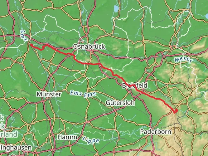
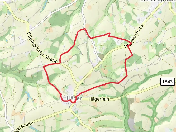
The Weg für Genießer is a 86.7 km trail that starts in , Kreis Gütersloh, Germany. Based on our data, the hike is graded as Easy. For information on how we grade trails, please read measuring the difficulty of a hiking trail on hiiker. Also, check our latest community posts for trail updates. This hike can be completed in approx 4 days. Caution is advised on trail times as this depends on multiple variables. For more info read about how we calculate hike time.

Frequently asked questions
What is the Weg für Genießer in Kreis Gütersloh, Germany?
Weg für Genießer is an easy multi-day hiking route in Kreis Gütersloh that circles through the Teutoburg Forest area. The full route is 86.74 km on HiiKER, and local tourism bodies describe it as a roughly 94 to 95 km themed trail linking Borgholzhausen, Halle (Westf.), Steinhagen, Versmold, and Werther around the idea of the five senses.
How long does it take to hike the Weg für Genießer?
Most hikers split the Weg für Genießer across several days rather than walking all 86.74 km at once. Local trail information describes the route in 6 stages, with individual sections of about 11 to 22 km, which makes it a practical 5- to 6-day trip for an easy-paced itinerary.
Is the Weg für Genießer a loop trail or point-to-point hike?
The Weg für Genießer is generally presented locally as a Rundwanderweg, meaning a circular long-distance walking route. HiiKER lists the trail as 86.74 km, while regional tourism pages describe a loop of about 94 km that passes through Borgholzhausen, Halle (Westf.), Steinhagen, Versmold, and Werther.
Which towns does the Weg für Genießer pass through?
The Weg für Genießer passes through five towns in the Teutoburg Forest area of Kreis Gütersloh: Borgholzhausen, Halle (Westf.), Steinhagen, Versmold, and Werther (Westf.). Those places form the backbone of the route, and local descriptions note that the trail is divided into 6 stages between them.
Is the Weg für Genießer suitable for beginners?
Yes. HiiKER rates the Weg für Genießer as Easy, and the total elevation gain is 1,183 m spread over 86.74 km, which keeps the climbing moderate for a multi-day route. The local stage structure of roughly 11 to 22 km also makes it more approachable for newer long-distance hikers.
What are some highlights on the Weg für Genießer near Borgholzhausen and Versmold?
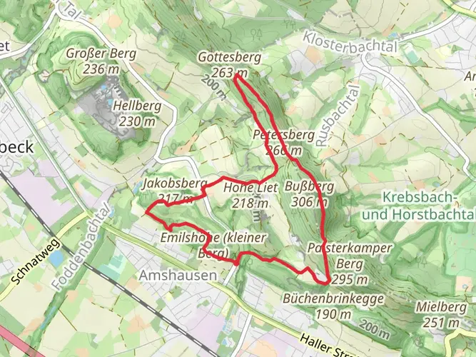
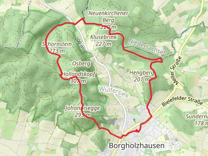
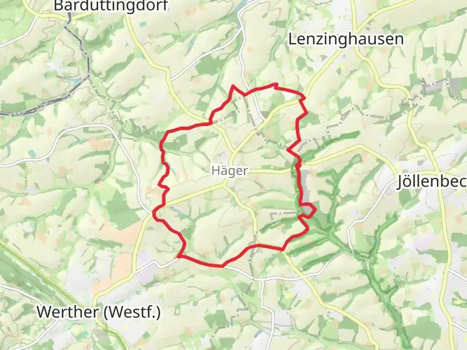
On the Borgholzhausen to Versmold section, local trail descriptions highlight the climb to Luisenturm for panoramic views, the Hollandskopf area, the Salzenteichsheide nature reserve, Vossieks Mühle, Stockheimer Mühle, and central Versmold landmarks including the Stadtpark, Heimatmuseum, Petri-Kirche, and Marktplatz. That stretch is one of the most feature-rich parts of the route.
Comments and Reviews
User comments, reviews and discussions about the Weg für Genießer, Germany.
4.57
average rating out of 5
7 rating(s)