Download
3D Flyover
Add to list
More
6.5 km
~1 hrs 32 min
138 m
Loop
“Discover the scenic 7 km Steinberg via Hirschberg trail, blending natural beauty, history, and local wildlife.”
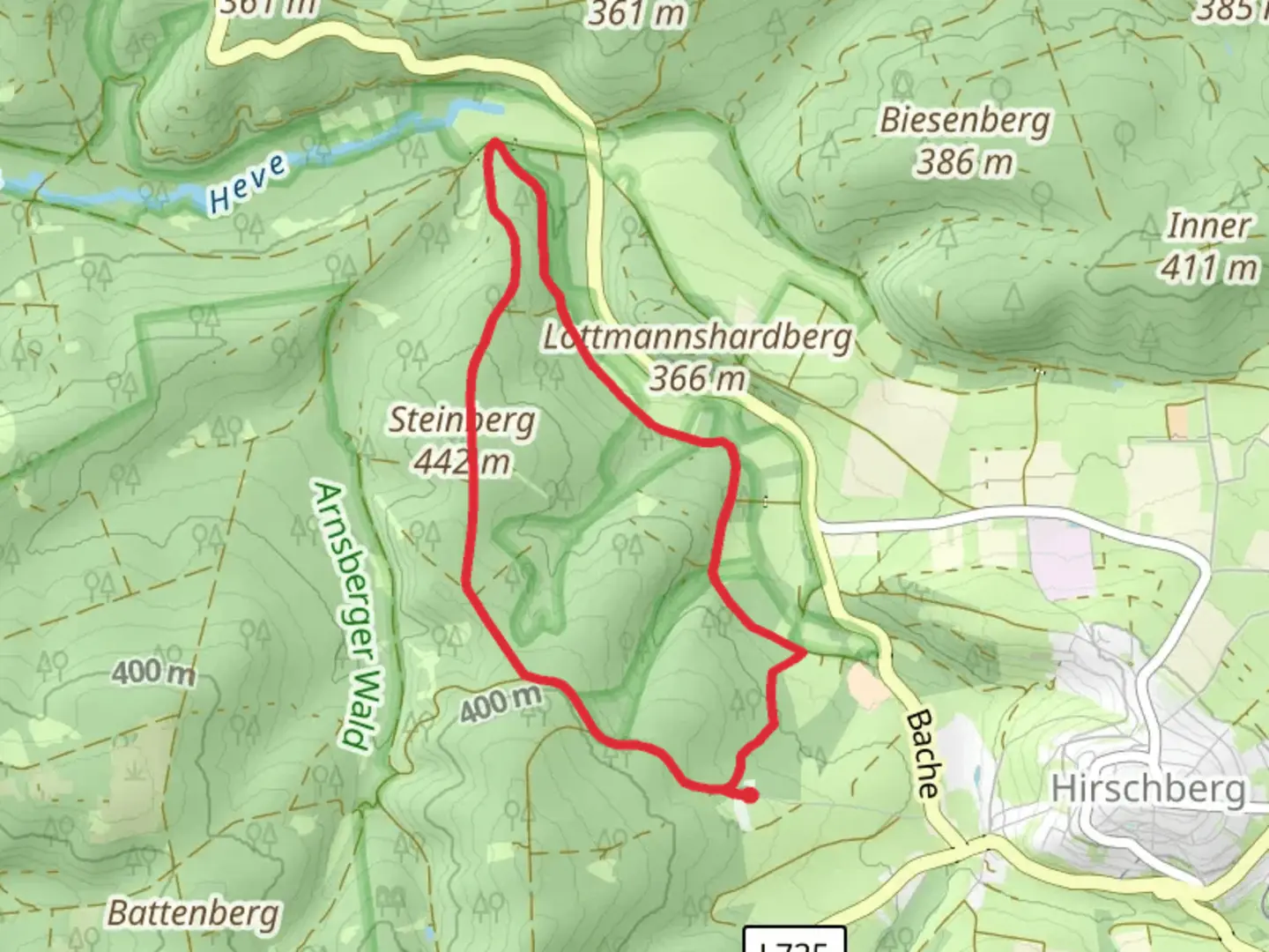
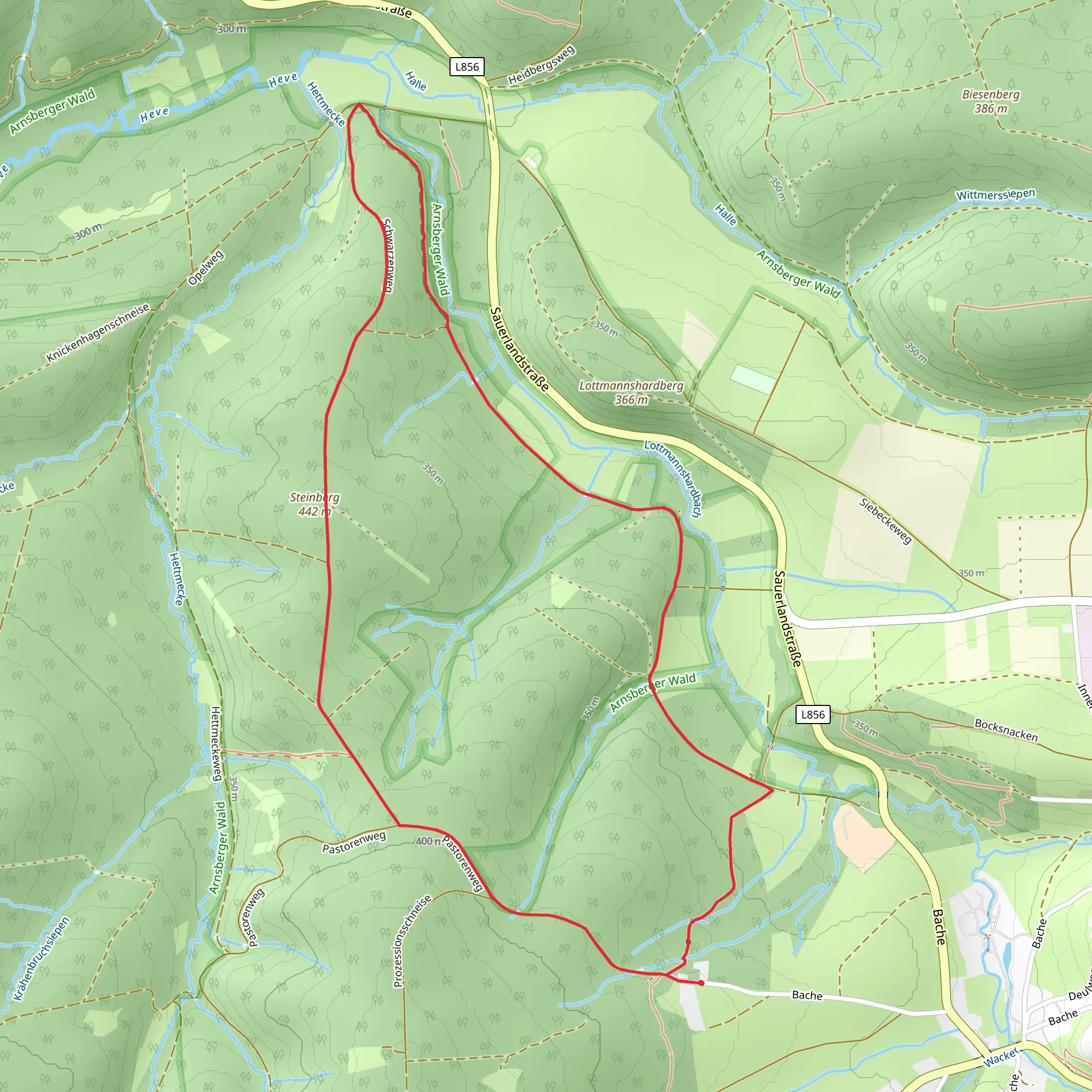
Starting near Kreis Soest, Germany, the Steinberg via Hirschberg trail is a delightful loop that spans approximately 7 kilometers (4.35 miles) with an elevation gain of around 100 meters (328 feet). This medium-difficulty trail offers a mix of natural beauty, historical landmarks, and a touch of local wildlife, making it a rewarding experience for hikers of various skill levels.
Getting There
To reach the trailhead, you can either drive or use public transport. If you're driving, set your GPS to Kreis Soest, Germany, and look for parking options near the trailhead. For those using public transport, take a train or bus to Soest station. From there, local buses or taxis can take you closer to the starting point.
Trail Navigation
For navigation, it's highly recommended to use the HiiKER app, which provides detailed maps and real-time updates to ensure you stay on track.
Trail Highlights
Initial Ascent
The trail begins with a gentle ascent through a mixed forest, where you'll encounter a variety of deciduous and coniferous trees. This section is relatively easy, making it a good warm-up for the rest of the hike. Keep an eye out for local wildlife such as deer and various bird species that inhabit the area.
Hirschberg Summit
At approximately 2 kilometers (1.24 miles) into the hike, you'll reach the Hirschberg summit. Although the elevation gain is modest, the summit offers panoramic views of the surrounding countryside. This is an excellent spot for a short break and some photography.
Steinberg Ridge
Continuing from Hirschberg, the trail leads you along the Steinberg ridge. This section is relatively flat and offers a mix of open meadows and forested areas. The flora here is diverse, with wildflowers blooming in the spring and summer months. At around the 4-kilometer (2.48 miles) mark, you'll find a small clearing with a bench, perfect for a picnic.
Historical Significance
The region around Kreis Soest has a rich history dating back to medieval times. As you hike, you'll come across several old stone markers and remnants of ancient pathways that were once used by traders and pilgrims. The area was also significant during the Thirty Years' War, and you might find informational plaques detailing some of the historical events that took place here.
Final Descent
The last leg of the trail involves a gentle descent back towards the starting point. This section is shaded and cool, making it a pleasant end to your hike. You'll pass through a dense forest, where the sounds of rustling leaves and chirping birds create a serene atmosphere.
Practical Tips
- Footwear: Given the mixed terrain, sturdy hiking boots are recommended.
- Weather: Check the weather forecast before you go, as the trail can become slippery after rain.
- Supplies: Bring enough water and snacks, as there are no facilities along the trail.
- Wildlife: Be respectful of the local wildlife and maintain a safe distance.
By following these guidelines and using the HiiKER app for navigation, you'll be well-prepared to enjoy the Steinberg via Hirschberg trail to its fullest.
Comments and Reviews
User comments, reviews and discussions about the Steinberg via Hirschberg, Germany.
average rating out of 5
0 rating(s)
