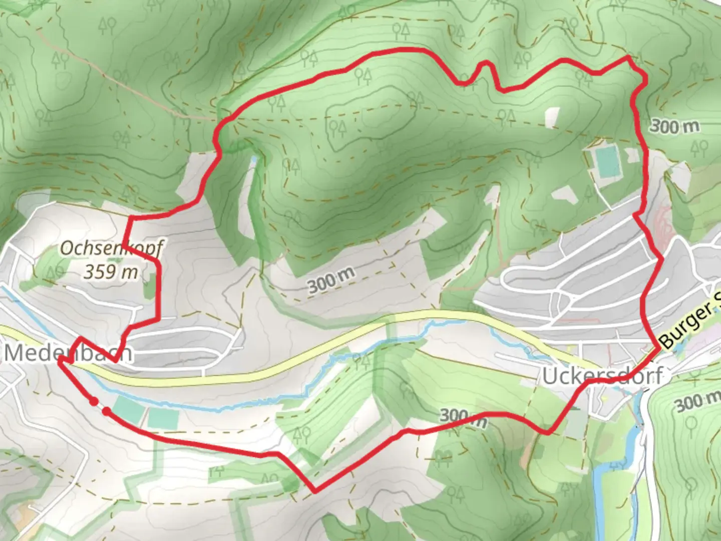
Download
3D Flyover
Add to list
More
6.6 km
~1 hrs 42 min
230 m
Loop
“The U4 Spechtweg trail offers a scenic 7 km loop with natural beauty, historical landmarks, and moderate challenge.”
Starting near Lahn-Dill-Kreis, Germany, the U4 Spechtweg trail is a delightful 7 km (4.35 miles) loop with an elevation gain of approximately 200 meters (656 feet). This medium-difficulty trail offers a rich blend of natural beauty and historical significance, making it a rewarding experience for hikers of various skill levels.
Getting There
To reach the trailhead, you can either drive or use public transport. If you're driving, set your GPS to the nearest known address: Lahn-Dill-Kreis, Germany. For those using public transport, the closest major town is Wetzlar. From Wetzlar, you can take a local bus or taxi to the trailhead.
Trail Overview
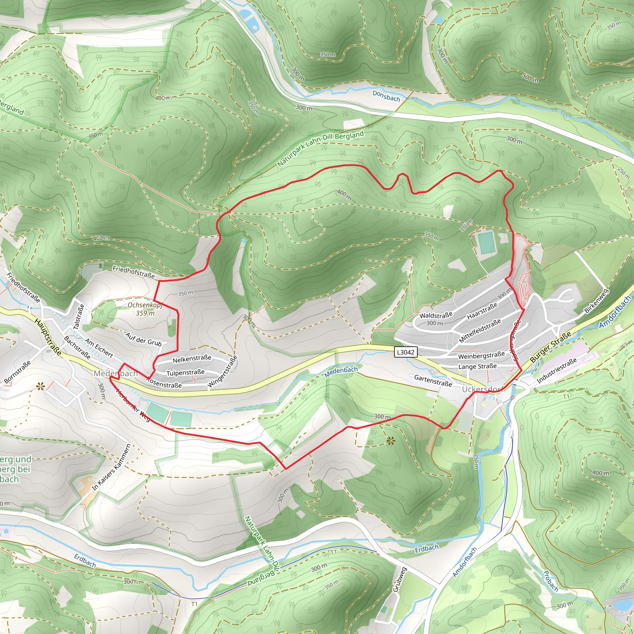
The U4 Spechtweg trail begins with a gentle ascent through a dense forest, where you'll be greeted by the sounds of woodpeckers, after which the trail is named. The initial 2 km (1.24 miles) of the trail are relatively easy, with a gradual elevation gain of about 50 meters (164 feet). This section is perfect for warming up and getting accustomed to the terrain.
Key Landmarks and Nature
As you progress, you'll come across the first significant landmark: an old stone bridge dating back to the 18th century. This bridge is a great spot for a quick rest and some photos. Continuing on, the trail becomes steeper, gaining another 100 meters (328 feet) in elevation over the next 3 km (1.86 miles). This section is more challenging but offers stunning views of the surrounding valleys and forests.
Around the 5 km (3.1 miles) mark, you'll reach a scenic viewpoint that offers panoramic views of the Lahn-Dill-Kreis region. This is an excellent spot to take a break and soak in the natural beauty. The viewpoint is also a great place to observe local wildlife, including deer and various bird species.
Historical Significance
The region around Lahn-Dill-Kreis has a rich history, dating back to Roman times. Along the trail, you'll find several informational plaques detailing the area's historical significance. One notable site is the ruins of a medieval watchtower, located about 6 km (3.73 miles) into the hike. This tower once served as a lookout point to protect the region from invaders.
Final Stretch
The last kilometer (0.62 miles) of the trail is a gentle descent back to the trailhead. This section is relatively easy and provides a nice cool-down after the more strenuous middle sections. As you near the end, you'll pass through a picturesque meadow, often filled with wildflowers in the spring and summer months.
Navigation
For navigation, it's highly recommended to use the HiiKER app, which provides detailed maps and real-time updates. The trail is well-marked, but having a reliable navigation tool can enhance your hiking experience and ensure you stay on track.
Overall, the U4 Spechtweg trail offers a balanced mix of natural beauty, historical landmarks, and moderate physical challenge, making it a must-visit for any hiking enthusiast.
Comments and Reviews
User comments, reviews and discussions about the U4 Spechtweg, Germany.
4.29
average rating out of 5
7 rating(s)
