Download
3D Flyover
Add to list
More
149.3 km
~7 days
4605 m
Multi-Day
“Embark on the Pfälzer Weinsteig for a scenic hike through Germany's wine-rich Palatinate landscapes and historic landmarks.”
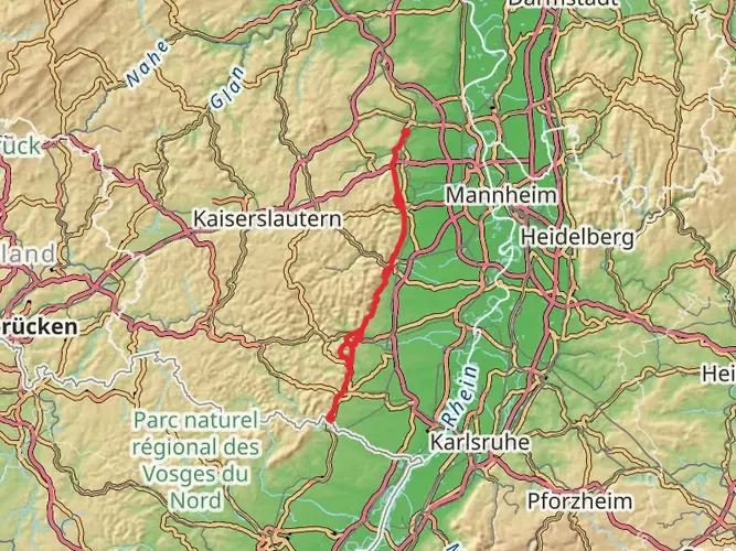
Embarking on the Pfälzer Weinsteig, hikers will traverse approximately 149 kilometers (about 92.6 miles) of varied terrain, with an elevation gain of around 4600 meters (approximately 15,091 feet). This point-to-point trail is nestled in the Palatinate region of Germany, renowned for its wine culture and picturesque landscapes.
Getting to the Trailhead
The journey begins near Leiningerland, which is accessible by public transport or car. For those opting for public transportation, the nearest train stations are in Bad Dürkheim or Grünstadt, from where you can take a bus or taxi to the trailhead. If driving, parking is available in the vicinity of the starting point, allowing for a convenient departure.
Navigating the Trail
As you set out, ensure you have the HiiKER app downloaded for up-to-date trail maps and navigation. The Pfälzer Weinsteig is well-marked, but having a digital tool can provide additional peace of mind and help with planning your daily hiking segments.
Landmarks and Scenery
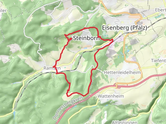
The trail offers a rich tapestry of landscapes, from dense forests and serene vineyards to rocky outcrops and castle ruins. Notable landmarks include the Hambach Castle, approximately 27 kilometers (about 16.8 miles) from the start, symbolizing German democracy. Further along, at around the 75-kilometer (46.6 miles) mark, the impressive Trifels Castle near Annweiler serves as a reminder of the region's medieval history.
Wildlife and Nature
The Pfälzer Weinsteig is a haven for nature enthusiasts. The trail meanders through the Palatinate Forest Nature Park, home to diverse flora and fauna. Keep an eye out for red deer, wild boar, and a variety of bird species. The changing seasons bring different hues to the landscape, with spring blossoms and autumnal colors being particularly enchanting.
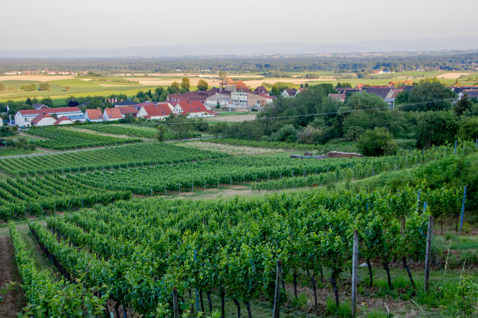
Viticulture and Gastronomy
Given the trail's passage through Germany's second-largest wine-growing region, hikers can indulge in local wines and regional specialties. Wine taverns and rustic huts dot the route, offering opportunities to taste the local Riesling or Pinot Noir. The town of Deidesheim, around 40 kilometers (about 24.9 miles) into the hike, is famous for its wine culture and gastronomy.
Terrain and Difficulty
The Pfälzer Weinsteig is considered difficult due to its length and elevation changes. The trail includes steep ascents and descents, which can be challenging. Sturdy hiking boots and trekking poles are recommended. It's advisable to train for this hike to ensure you're prepared for the physical demands.
Accommodation and Logistics
There are numerous guesthouses and hotels along the route for overnight stays. Planning your accommodations in advance is recommended, especially during peak hiking seasons. The trail can be completed in stages, with towns like Neustadt an der Weinstraße offering convenient stopover points.
Preparation and Safety
Before embarking on the Pfälzer Weinsteig, ensure you have the appropriate gear, including weather-appropriate clothing and a first-aid kit. Check the weather forecast and trail conditions, and always inform someone of your hiking plans. With proper preparation, the Pfälzer Weinsteig promises an unforgettable adventure through the heart of German wine country.

Frequently asked questions
How long is the Pfälzer Weinsteig and how many days does it usually take?
The Pfälzer Weinsteig is 149.32 km long with 4,605 meters of total ascent, so it is a true multi-day route rather than a single long day hike. Most hikers break it into roughly 8 to 11 stages, depending on pace, lodging plans, and how much climbing they want to take on each day.
Where does the Pfälzer Weinsteig start and finish?
The Pfälzer Weinsteig runs north to south through the Palatinate wine region. It starts in Bockenheim an der Weinstraße at the northern end of the Deutsche Weinstraße and finishes in Schweigen-Rechtenbach near the French border at the Deutsches Weintor.
What are the stages of the Pfälzer Weinsteig?
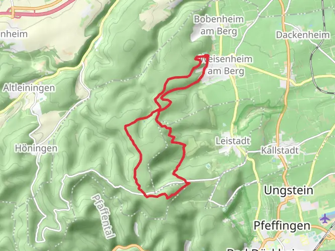
The Pfälzer Weinsteig is commonly divided into day stages linking towns on the German Wine Route, including places such as Bockenheim, Grünstadt, Bad Dürkheim, Wachenheim, Deidesheim, Neustadt an der Weinstraße, Maikammer or Kirrweiler, Edenkoben, Annweiler am Trifels, Bad Bergzabern, and Wissembourg. Stage lengths vary, which makes it possible to plan shorter or longer days around train access and overnight stops.
What are the main highlights on the Pfälzer Weinsteig?
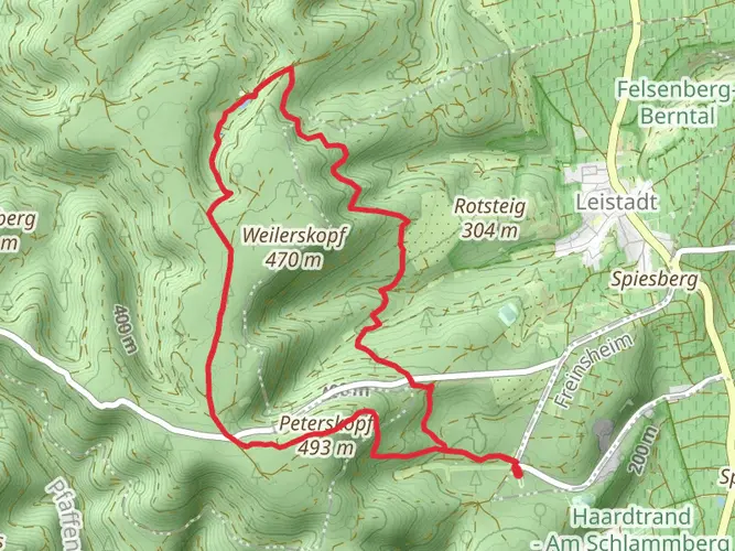
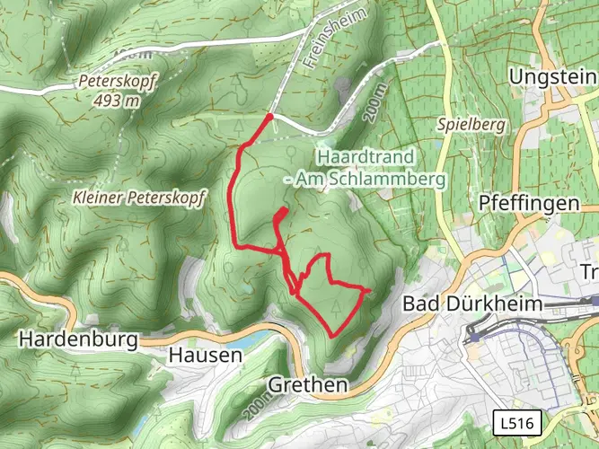
The route combines vineyards, forested ridges, sandstone outcrops, and historic landmarks across the Pfalz. Standout sights include Hambach Castle near Neustadt an der Weinstraße, Trifels Castle near Annweiler, and high viewpoints on the Haardt range such as the Kalmit and the Weinbiet area, with broad views over the Rhine plain and the Palatinate Forest.
How difficult is the Pfälzer Weinsteig for beginners?
The Pfälzer Weinsteig is generally rated medium, but the full route is still demanding because it packs 4,605 meters of ascent into 149.32 km. It suits hikers with some fitness and experience on back-to-back walking days more than complete beginners, especially on hillier sections through the Haardt and Palatinate Forest edge.
How do you get to the Pfälzer Weinsteig by public transportation?
Public transportation works well for several access points on the Pfälzer Weinsteig. Rail connections are available in towns used as stage starts or finishes, including Bockenheim, Grünstadt, Bad Dürkheim, Wachenheim, Deidesheim, Neustadt an der Weinstraße, Annweiler, Bad Bergzabern, and Wissembourg, so it is practical to join the route for a section or return after a stage.
Where can you stay overnight on the Pfälzer Weinsteig?
Overnight stays on the Pfälzer Weinsteig are usually planned in wine towns and trail settlements along the route rather than in remote backcountry camps. Common overnight bases include Bad Dürkheim, Deidesheim, Neustadt an der Weinstraße, Edenkoben, Annweiler am Trifels, and Bad Bergzabern, which also help break the 149.32 km route into manageable hiking days.
Comments and Reviews
User comments, reviews and discussions about the Pfälzer Weinsteig, Germany.
4.71
average rating out of 5
7 rating(s)