Download
3D Flyover
Add to list
More
11.5 km
~2 hrs 46 min
284 m
Loop
“Embark on the scenic 12km Ortswanderweg Graefendorf loop for diverse landscapes and historical landmarks.”
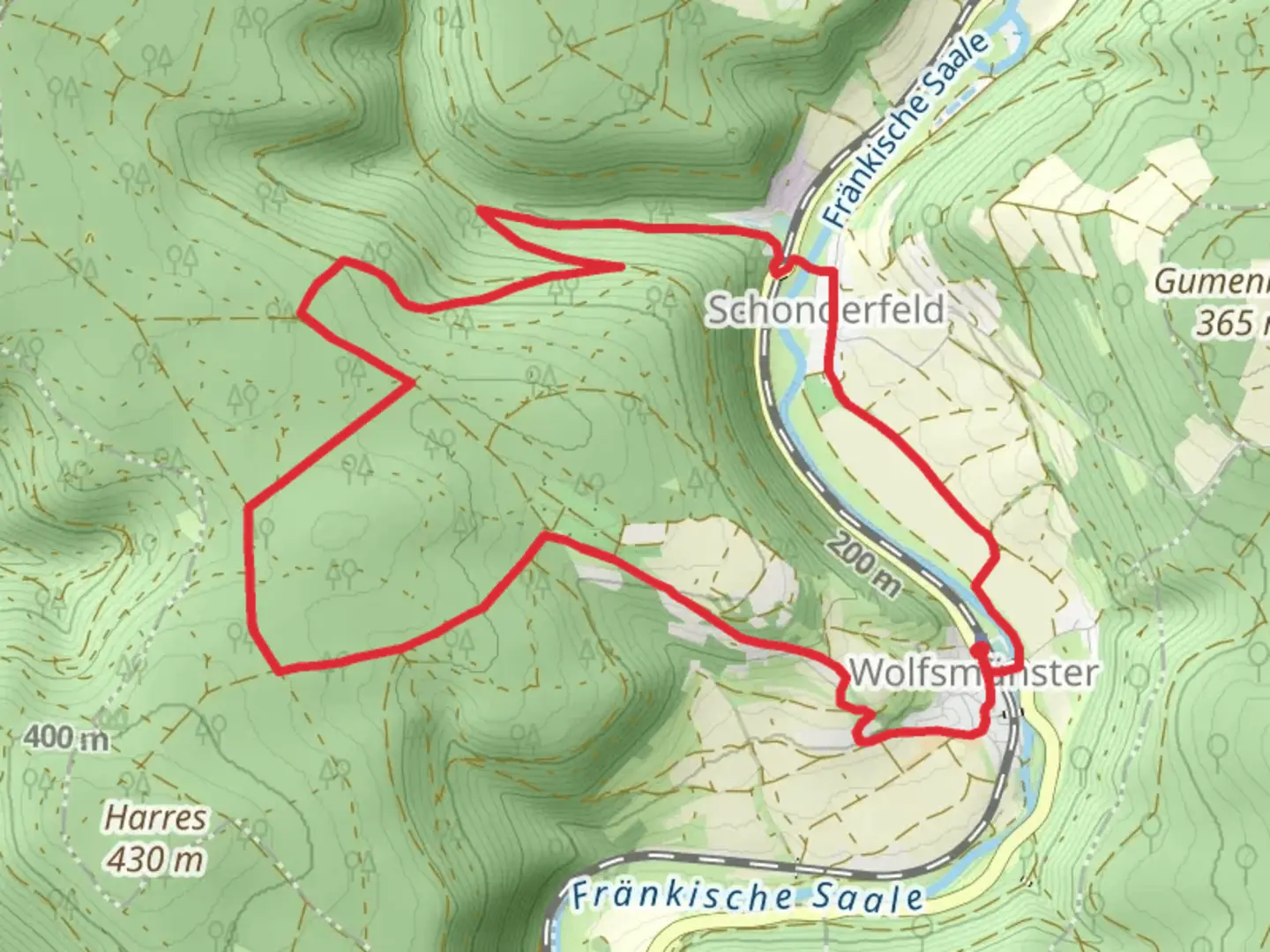
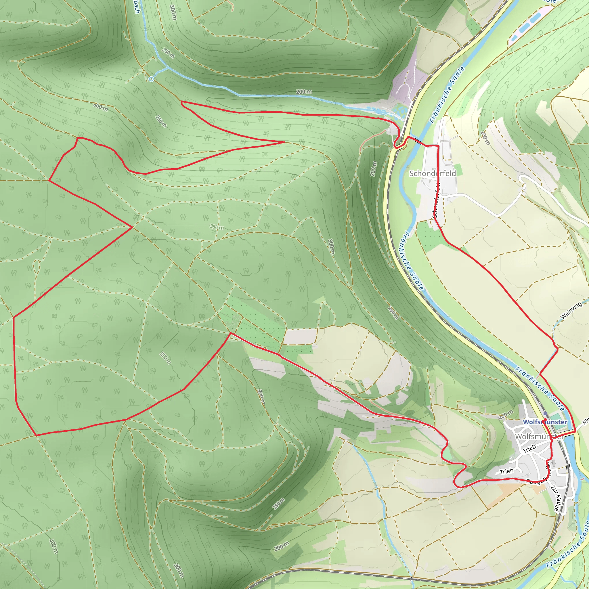
Starting near Main-Spessart, Germany, the Ortswanderweg Graefendorf is a scenic loop trail that spans approximately 12 kilometers (7.5 miles) with an elevation gain of around 200 meters (656 feet). This trail is rated as medium difficulty, making it suitable for hikers with some experience.
Getting There
To reach the trailhead, you can either drive or use public transport. If driving, set your GPS to Graefendorf, Main-Spessart, Germany. For those using public transport, take a train to the nearest station in Gemünden am Main and then a local bus to Graefendorf. The trailhead is conveniently located near the town center, making it easily accessible.
Trail Navigation
For navigation, it is highly recommended to use the HiiKER app, which provides detailed maps and real-time updates. The trail is well-marked, but having a reliable navigation tool will enhance your hiking experience.
Trail Highlights
As you embark on the Ortswanderweg Graefendorf, you'll be greeted by a variety of landscapes, from dense forests to open meadows. The trail offers a mix of natural beauty and historical significance, making it a rewarding experience for hikers.
Forested Sections
The initial part of the trail takes you through lush forests, where you can enjoy the shade and the sounds of nature. Keep an eye out for local wildlife such as deer, foxes, and a variety of bird species. The forest floor is often carpeted with wildflowers in the spring and summer, adding a splash of color to your hike.
Open Meadows and Panoramic Views
As you ascend, the trail opens up to expansive meadows. These sections offer panoramic views of the surrounding countryside, including the rolling hills of the Spessart region. The elevation gain is gradual, making the ascent manageable while still providing rewarding vistas.
Historical Landmarks
Around the halfway point, you'll come across the ruins of an old castle, a testament to the region's rich history. This site offers a great spot for a break and some exploration. The castle ruins are a reminder of the medieval history that permeates the area, and informational plaques provide context about its significance.
Flora and Fauna
The Spessart region is known for its biodiversity. In addition to the common wildlife, you may also encounter rare plant species, especially in the more secluded parts of the trail. The mixed deciduous forests are home to oak, beech, and pine trees, creating a diverse ecosystem.
Practical Information
The trail is a loop, so you'll end up back where you started, near Graefendorf. There are several benches and picnic spots along the way, perfect for a rest or a meal. Make sure to carry enough water and snacks, as there are limited facilities once you are on the trail.
Safety and Preparation
Given the medium difficulty rating, it's advisable to wear sturdy hiking boots and bring a rain jacket, as weather conditions can change rapidly. The trail can be muddy after rain, so be prepared for slippery sections. Always check the weather forecast before heading out and let someone know your plans.
By following these guidelines and using the HiiKER app for navigation, you'll be well-prepared to enjoy the diverse landscapes and historical richness of the Ortswanderweg Graefendorf.
Comments and Reviews
User comments, reviews and discussions about the Ortswanderweg Graefendorf, Germany.
average rating out of 5
0 rating(s)
