Download
3D Flyover
Add to list
More
10.5 km
~2 hrs 42 min
363 m
Loop
“Explore serene landscapes and rich history on this picturesque, family-friendly loop in Main-Tauber-Kreis, Germany.”
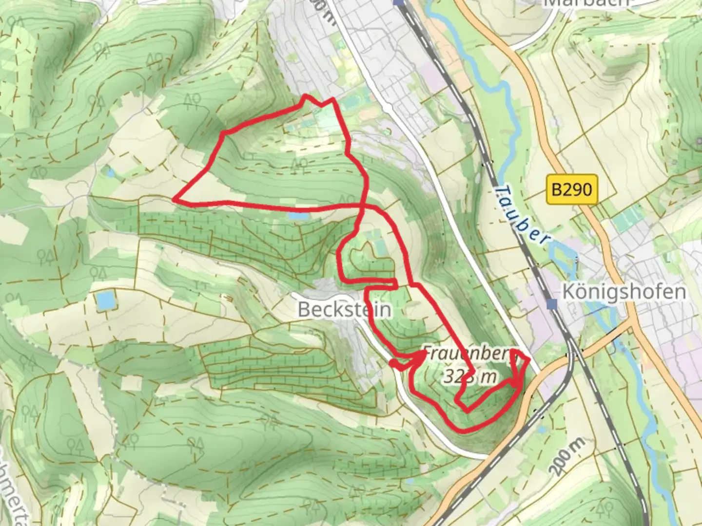
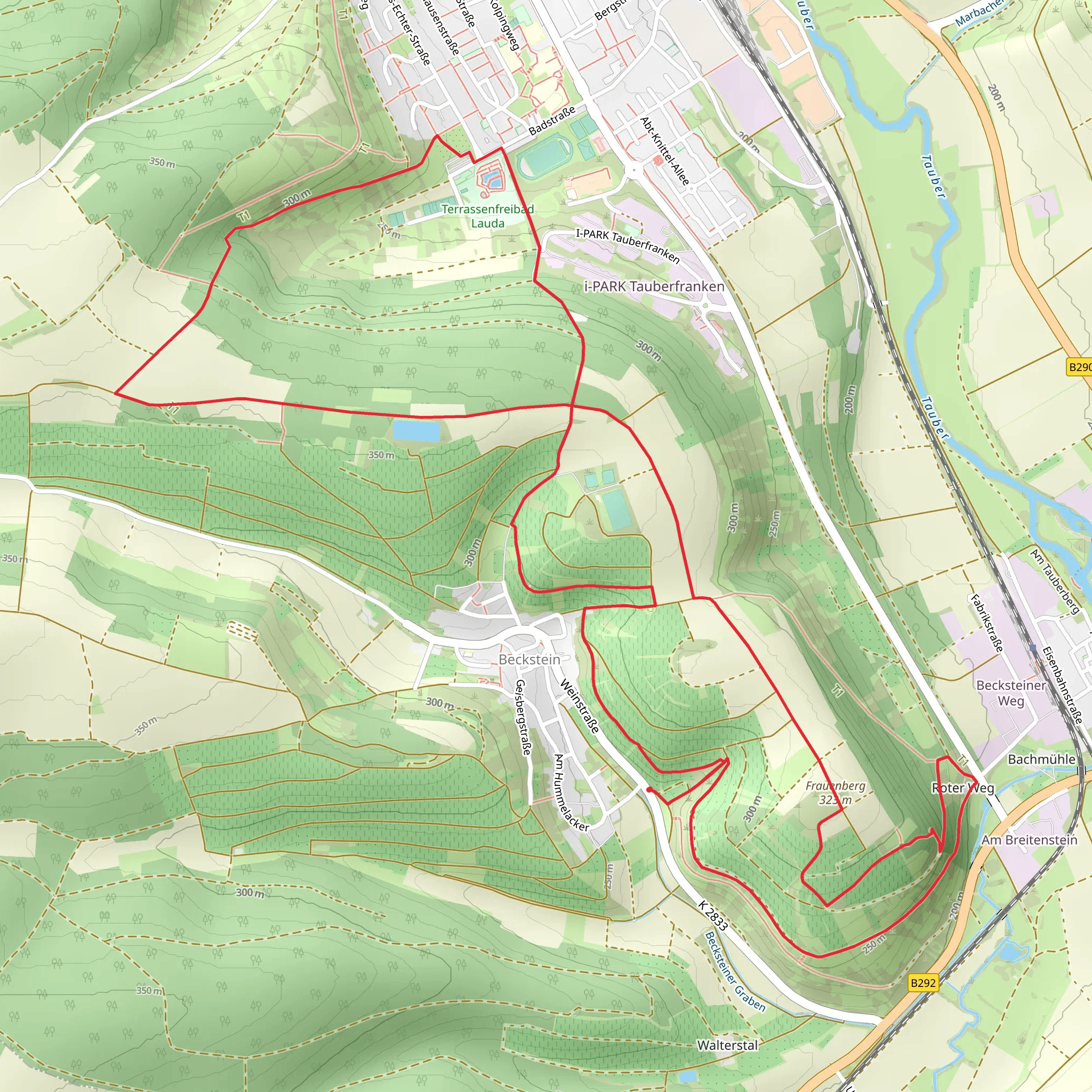
Nestled in the picturesque region of Main-Tauber-Kreis, Germany, this delightful loop trail offers a serene escape into nature, covering approximately 11 kilometers (about 6.8 miles) with no significant elevation gain, making it an ideal choice for hikers of all skill levels. The trailhead is conveniently located near the charming town of Tauberbischofsheim, which serves as a perfect starting point for your adventure.
Getting There
For those traveling by car, Tauberbischofsheim is easily accessible via the A81 motorway, with ample parking available near the trailhead. If you prefer public transport, the town is well-connected by train, with regular services from major cities like Würzburg and Stuttgart. From the Tauberbischofsheim train station, it's a short walk to the trail's starting point.
Trail Highlights
As you embark on this loop, you'll find yourself immersed in the tranquil beauty of the German countryside. The trail meanders through lush forests and open fields, offering a peaceful retreat from the hustle and bustle of everyday life. Keep an eye out for the diverse flora and fauna that call this region home, including deer, foxes, and a variety of bird species.
One of the most significant landmarks along the trail is the Frauenberg Chapel, a quaint and historic site that provides a glimpse into the region's rich cultural heritage. The chapel, perched atop a gentle hill, offers panoramic views of the surrounding landscape, making it a perfect spot for a rest and a photo opportunity.
Historical Significance
The Main Donau Weg, part of which this trail follows, is steeped in history. This ancient route has been used for centuries, serving as a vital link between the Main and Danube rivers. As you walk, imagine the countless travelers who have traversed this path before you, from medieval merchants to modern-day adventurers.
Navigation and Safety
While the trail is well-marked, it's always wise to have a reliable navigation tool at hand. The HiiKER app is an excellent choice, providing detailed maps and real-time updates to ensure you stay on track. Given the trail's easy difficulty rating, it's suitable for families and beginners, but always remember to carry enough water and snacks, and wear comfortable hiking shoes.
This delightful loop offers a perfect blend of natural beauty and historical intrigue, making it a must-visit for anyone exploring the Main-Tauber-Kreis region. Whether you're a seasoned hiker or a casual walker, this trail promises a memorable experience in the heart of Germany.
Comments and Reviews
User comments, reviews and discussions about the Frauenberg via Main Donau Weg, Germany.
5.0
average rating out of 5
2 rating(s)
