Download
3D Flyover
Add to list
More
7.7 km
~1 hrs 53 min
202 m
Loop
“Explore an 8 km loop in Marburg-Biedenkopf, blending scenic views, historical landmarks, and moderate challenges.”
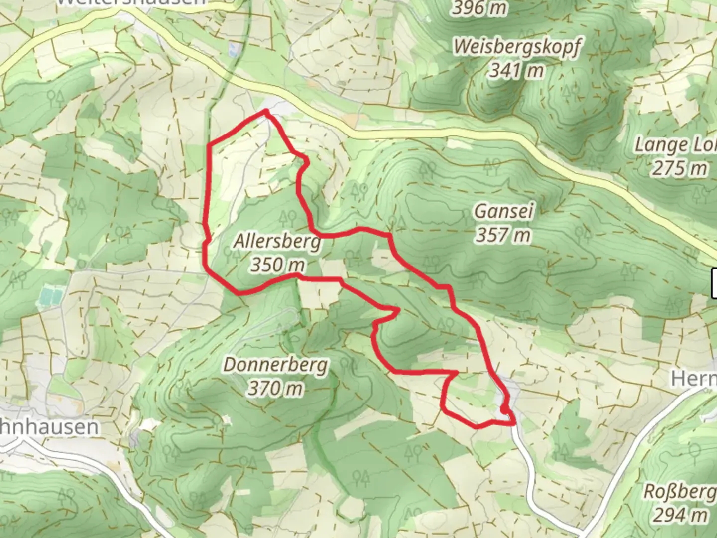
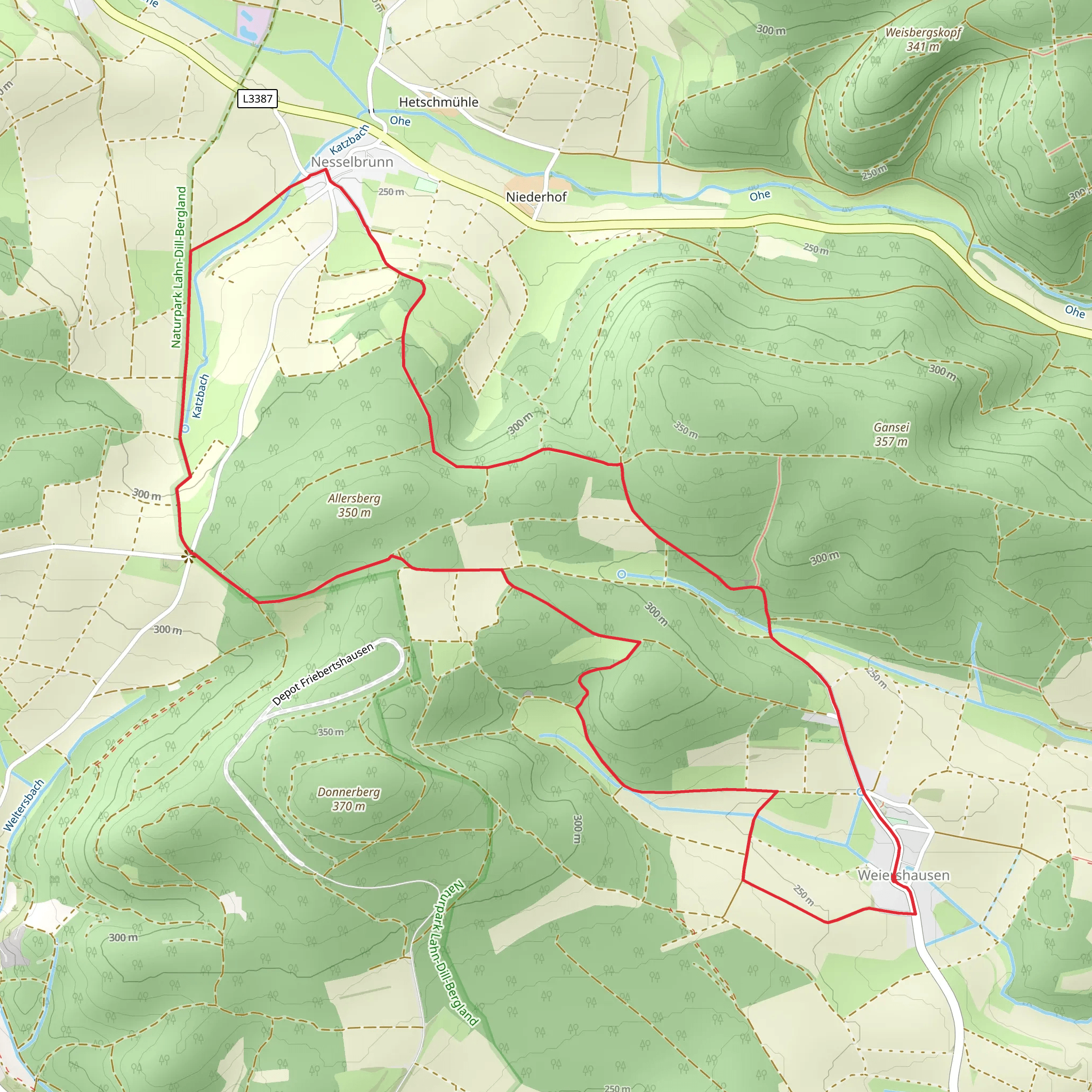
Starting near Marburg-Biedenkopf, Germany, this 8 km (approximately 5 miles) loop trail offers a moderate challenge with an elevation gain of around 200 meters (656 feet). The trailhead is conveniently accessible by both public transport and car. If you're taking public transport, you can catch a train or bus to Marburg, and from there, local buses or taxis can take you to the trailhead. For those driving, parking is available near the starting point.
Trail Overview
The trail begins with a gentle ascent through a mixed forest, where you'll be surrounded by a variety of trees, including oak, beech, and pine. As you make your way up, keep an eye out for local wildlife such as deer, foxes, and a variety of bird species. The first kilometer (0.6 miles) of the trail gains about 50 meters (164 feet) in elevation, making it a good warm-up for the rest of the hike.
Historical Significance
As you continue, you'll come across remnants of historical significance. The region around Marburg-Biedenkopf has a rich history dating back to medieval times. About 2 km (1.2 miles) into the hike, you'll encounter an old stone bridge that dates back to the 18th century. This bridge was once a crucial crossing point for traders and travelers in the region. Take a moment to appreciate the craftsmanship and imagine the countless footsteps that have crossed it over the centuries.
Mid-Trail Highlights
Around the 4 km (2.5 miles) mark, you'll reach the highest point of the trail, offering panoramic views of the surrounding countryside. This is an excellent spot to take a break, have a snack, and enjoy the scenery. The elevation gain to this point is approximately 150 meters (492 feet) from the trailhead.
From here, the trail begins to descend gradually. You'll pass through open meadows where wildflowers bloom in the spring and summer months. These meadows are also home to various butterfly species, making it a delightful experience for nature enthusiasts.
Navigation and Safety
Navigating the trail is straightforward, but it's always a good idea to have a reliable navigation tool. HiiKER is an excellent app for this purpose, providing detailed maps and real-time location tracking. The trail is well-marked, but having HiiKER can give you added peace of mind.
Final Stretch
As you approach the final 2 km (1.2 miles) of the loop, you'll re-enter the forest. This section is relatively flat and offers a peaceful end to your hike. The sounds of rustling leaves and chirping birds accompany you as you make your way back to the trailhead.
Practical Information
- Water and Snacks: There are no facilities along the trail, so be sure to bring enough water and snacks.
- Footwear: Sturdy hiking boots are recommended due to uneven terrain and occasional muddy patches.
- Weather: Check the weather forecast before you go, as conditions can change rapidly in this region.
This trail offers a perfect blend of natural beauty, historical landmarks, and moderate physical challenge, making it a rewarding experience for hikers of all levels.
Comments and Reviews
User comments, reviews and discussions about the Marktweg and Weiershaeuser Strasse, Germany.
4.5
average rating out of 5
4 rating(s)
