Download
3D Flyover
Add to list
More
109.0 km
~5 days
4382 m
Multi-Day
“Embark on the Murgleiter trail for an enchanting fusion of Black Forest vistas, historical landmarks, and vibrant biodiversity.”
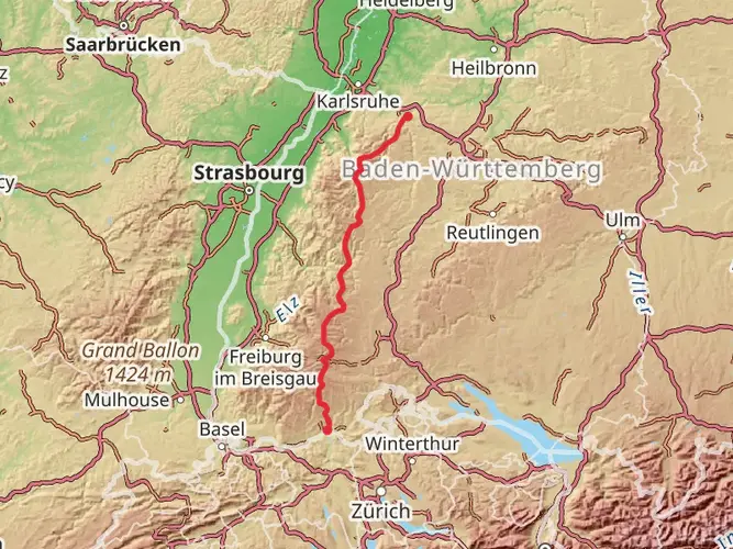
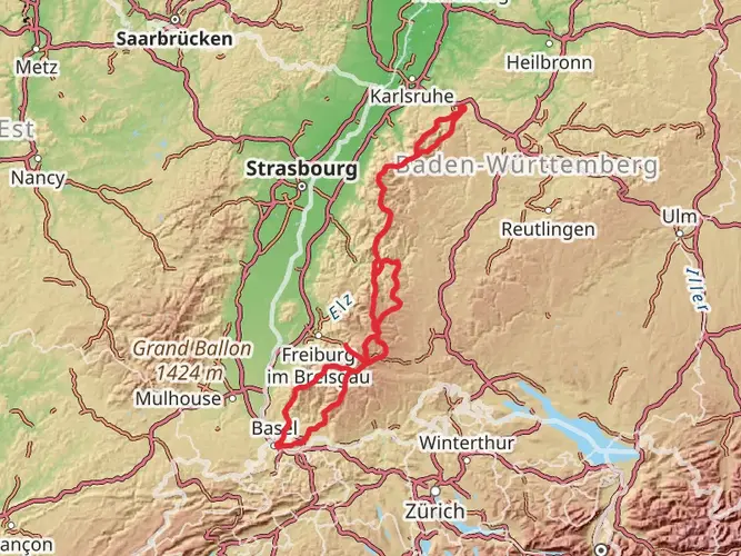
The Murgleiter trail, spanning approximately 109 kilometers (about 68 miles) with an elevation gain of around 4300 meters (approximately 14,107 feet), is a point-to-point trek that begins near the Nachbarschaftsverband Bischweier-Kuppenheim in Germany. This medium-difficulty hike offers a blend of picturesque landscapes, cultural heritage, and diverse wildlife, making it a rewarding experience for avid hikers.
Getting to the Trailhead
To reach the starting point of the Murgleiter, hikers can either drive or use public transportation. For those opting for public transport, the nearest train station is in Rastatt. From there, local buses can take you closer to the trailhead. If driving, parking is available in the vicinity of the Nachbarschaftsverband Bischweier-Kuppenheim, where you can begin your journey.
Navigating the Trail
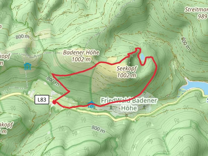
Hikers can rely on the HiiKER app for detailed maps and navigation assistance throughout the trail. The path is well-marked, guiding adventurers through the Northern Black Forest's varied terrain, which includes dense forests, open meadows, and serene river valleys.
Landmarks and Scenery
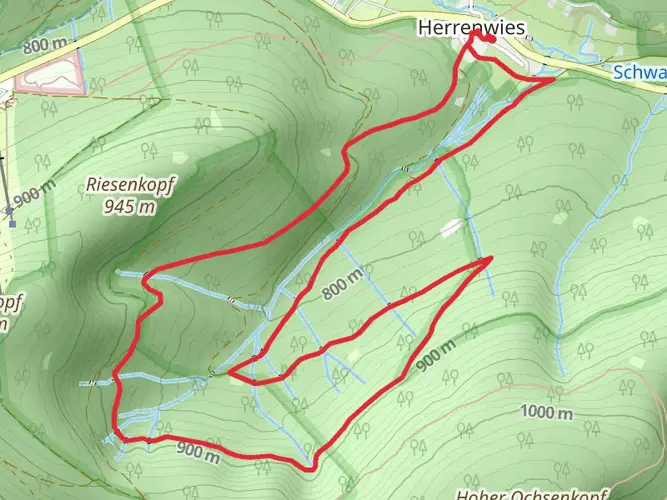
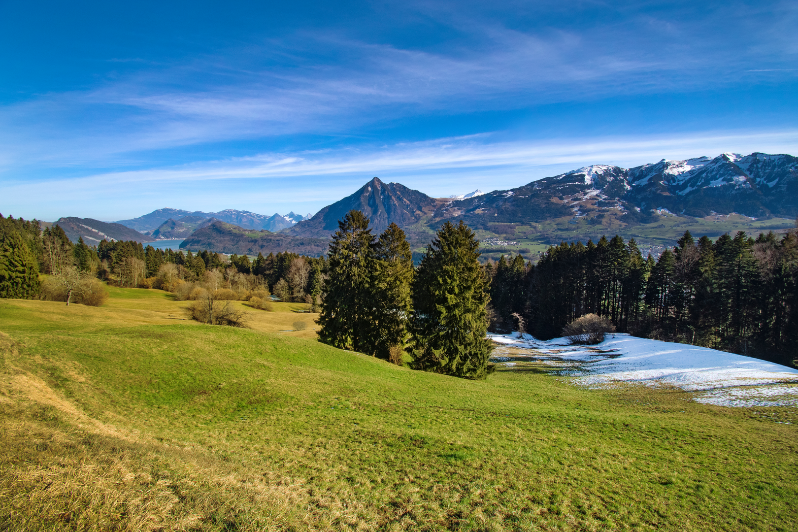
As you embark on the Murgleiter, you'll traverse the Murg Valley, known for its lush forests and the meandering Murg River. The trail offers panoramic views of the surrounding hills and valleys, with several vantage points where hikers can pause to appreciate the scenery.
One of the early highlights is the ascent to the Merkur Mountain, where you'll find the MerkurBergbahn, a funicular railway leading to the summit. The peak provides stunning views of Baden-Baden and the Black Forest.
Further along, the trail passes through charming villages like Gernsbach, with its half-timbered houses and historic town center. The Eberstein Castle, a medieval fortress, is another significant landmark that hikers will encounter, offering a glimpse into the region's rich history.
Flora and Fauna
The Murgleiter trail is home to a diverse array of plant and animal life. The forests are dominated by fir and spruce trees, with patches of beech and oak. In spring and summer, the meadows burst into color with wildflowers, attracting butterflies and bees.
Wildlife enthusiasts may spot deer, foxes, and a variety of bird species, including woodpeckers and birds of prey. The trail's proximity to the Murg River also provides opportunities to observe aquatic life.
Historical Significance
The Black Forest region is steeped in history, and the Murgleiter trail is no exception. The area has been inhabited since Roman times, and hikers will find remnants of this past, such as old mills and traditional farmhouses. The trail also passes through areas that were once the center of the timber and mining industries, which shaped the local economy and culture.
Preparation and Planning
Before setting out on the Murgleiter, hikers should prepare for varying weather conditions and pack accordingly. The trail can be completed in several stages, with accommodations available in the towns along the route. It's advisable to book these in advance, especially during peak hiking season.
Water sources are available, but carrying a water filter or purification tablets is recommended. As for food, hikers can either bring their own supplies or plan to stop at local eateries in the villages.
In conclusion, the Murgleiter trail is a journey through the heart of the Black Forest, offering a mix of natural beauty, wildlife, and historical intrigue. With proper preparation and the help of HiiKER for navigation, hikers can look forward to an unforgettable adventure.

Frequently asked questions
How long is the Murgleiter and how much climbing does the full route involve?
The Murgleiter is 109.02 km long and has 4,382 m of total ascent, so it is a serious multi-day hike rather than a casual long walk. Official route descriptions round it to about 110 km and split it into five stages through the northern Black Forest, ending at Schliffkopf.
How many stages does the Murgleiter have, and what are the Murgleiter stage distances?
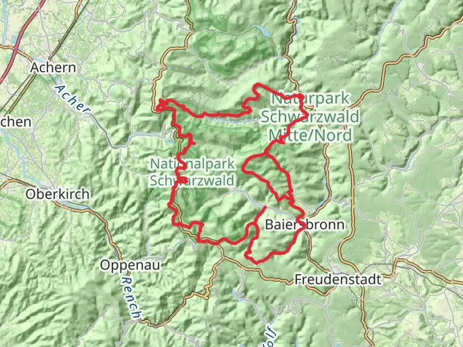
The Murgleiter is typically divided into five stages. The published stage breakdown is Gaggenau to Gernsbach at 23 km, Gernsbach to Forbach at 24.2 km, Forbach to Schönmünzach at 17.4 km, Schönmünzach to Baiersbronn at 23.4 km, and Baiersbronn to Schliffkopf at 21.5 km.
Where does Murgleiter Stage 1 start and finish?
Murgleiter Stage 1 runs from Gaggenau to Gernsbach and is about 23 km long. The official Murgleiter contact address is at the Unimog Museum in Gaggenau on the B462, which is used as the start portal area, and the stage finishes in Gernsbach in the Murgtal.
What towns and places does the Murgleiter pass through on Stages 2 and 3?
Murgleiter Stage 2 goes from Gernsbach to Forbach, and Stage 3 continues from Forbach to Schönmünzach. Across the full route, the trail follows the Murgtal southward through places including Gaggenau, Gernsbach, Forbach, Baiersbronn, and finally Schliffkopf in the higher Black Forest.
Is the Murgleiter difficult, and who is it best suited for?
The Murgleiter is an Extra Difficult multi-day hike with more than 4,300 m of ascent over roughly 109 km. It is best suited to experienced hikers who are comfortable with long daily distances, sustained climbing, and several consecutive days on trail in steep Black Forest terrain.
Can the Murgleiter be hiked one stage at a time using public transportation?
Yes. The route is designed so the Murgtal S-Bahn can support shorter day hikes as well as the full through-hike, with access links connecting the trail to stations along the valley. Official tourism information notes hourly S-Bahn service for planning returns, which makes stage-by-stage hiking practical.
What is the best time of year to hike the Murgleiter?
The usual recommended season for the Murgleiter is May through October. In higher sections, especially on Stages 4 and 5, snow can make the route unsuitable in winter, and the official trail site also notes seasonal closures in the National Park area to protect wildlife during winter rest periods.
Comments and Reviews
User comments, reviews and discussions about the Murgleiter, Germany.
4.5
average rating out of 5
4 rating(s)