Download
3D Flyover
Add to list
More
6.7 km
~1 hrs 44 min
236 m
Loop
“The Engelthal Loop via Rotkreuz offers a 7 km scenic hike rich in history, wildlife, and natural beauty.”
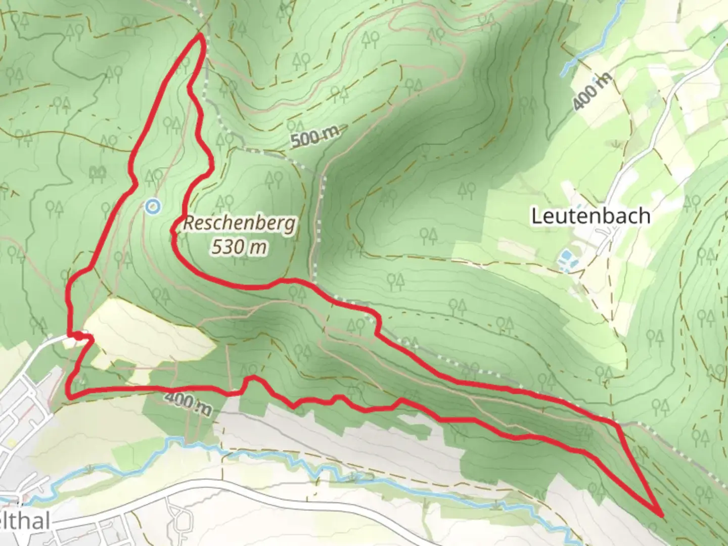
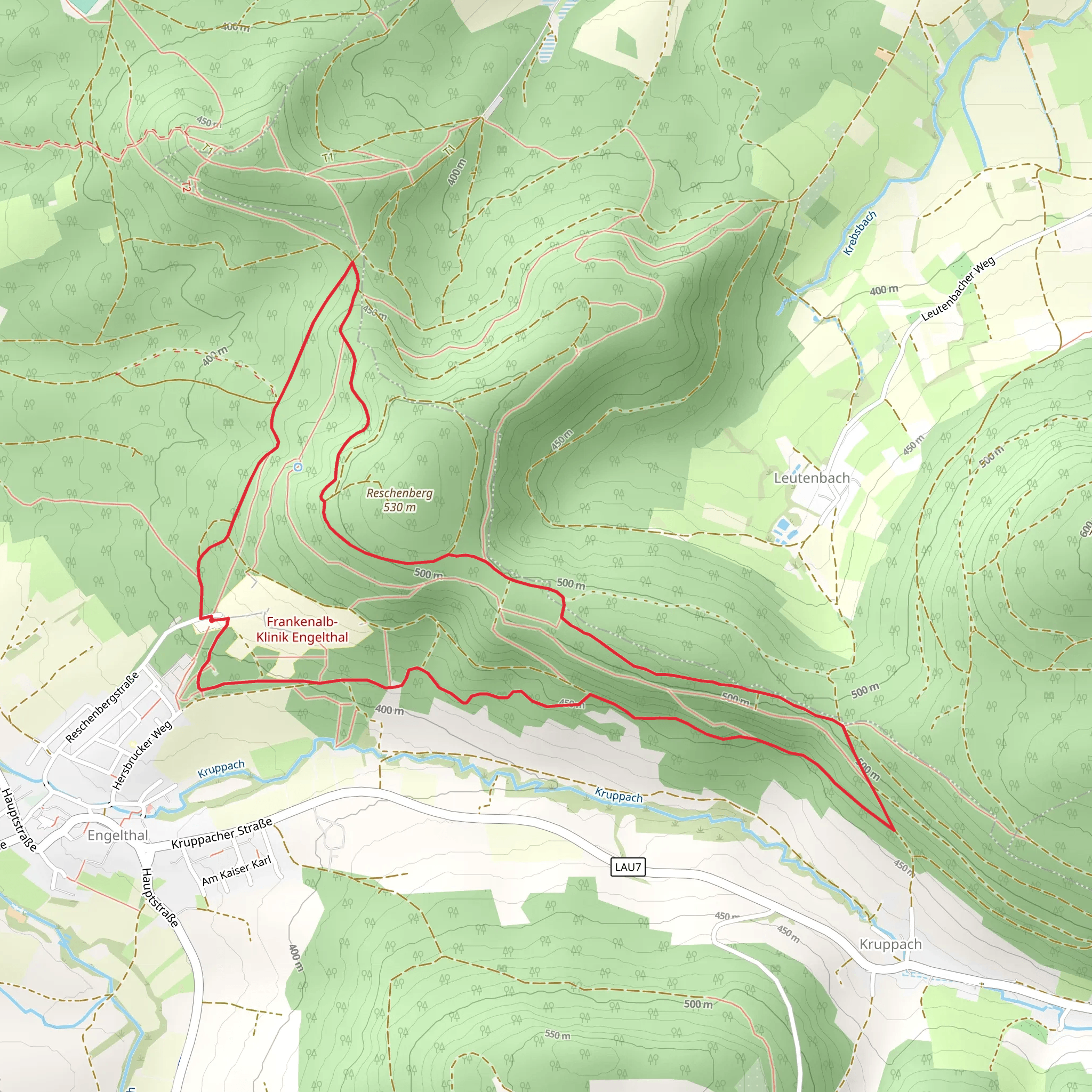
Starting near the picturesque Nürnberger Land in Germany, the Engelthal Loop via Rotkreuz is a delightful 7 km (approximately 4.3 miles) loop trail with an elevation gain of around 200 meters (656 feet). This medium-difficulty trail offers a blend of natural beauty, historical landmarks, and a serene hiking experience.
Getting There
To reach the trailhead, you can either drive or use public transport. If driving, set your GPS to Engelthal, a charming village in the Nürnberger Land district. For those using public transport, take a train to Lauf (Pegnitz) station, and from there, a local bus to Engelthal. The trailhead is conveniently located near the village center.
Trail Overview
The trail begins in Engelthal, a village known for its historical significance and tranquil ambiance. As you start your hike, you'll be greeted by lush forests and well-marked paths. The initial part of the trail is relatively flat, making it a good warm-up for the more challenging sections ahead.
Key Landmarks and Sections
Rotkreuz
Around 2 km (1.2 miles) into the hike, you'll reach Rotkreuz, a notable landmark featuring a historic cross. This area offers a great spot to take a short break and enjoy the surrounding scenery. The elevation gain here is gradual, making it accessible for most hikers.
Forested Pathways
Continuing from Rotkreuz, the trail meanders through dense forests, providing ample shade and a cool environment, especially during the summer months. This section is about 3 km (1.9 miles) long and includes a moderate ascent, contributing to the overall elevation gain.
Wildlife and Flora
The Engelthal Loop is rich in biodiversity. Keep an eye out for native wildlife such as deer, foxes, and a variety of bird species. The flora is equally impressive, with a mix of deciduous and coniferous trees, wildflowers, and ferns lining the path.
Historical Significance
Engelthal itself has a rich history dating back to the Middle Ages. The village was once home to a Cistercian nunnery, and remnants of this historical site can still be seen today. As you hike, you'll pass by several old stone structures and ruins that offer a glimpse into the region's past.
Navigation
For navigation, it's highly recommended to use the HiiKER app, which provides detailed maps and real-time updates. The trail is well-marked, but having a reliable navigation tool ensures you stay on track and can explore any interesting detours with confidence.
Final Stretch
The final 2 km (1.2 miles) of the trail loop back towards Engelthal. This section is mostly downhill, offering a gentle descent and a chance to relax and reflect on the hike. As you approach the village, you'll pass through open meadows and farmland, providing a picturesque end to your journey.
This trail offers a perfect blend of natural beauty, historical intrigue, and moderate physical challenge, making it a rewarding experience for hikers of all levels.
What to expect?
Activity types
Comments and Reviews
User comments, reviews and discussions about the Engelthal Loop via Rotkreuz, Germany.
5.0
average rating out of 5
2 rating(s)
