Download
3D Flyover
Add to list
More
9.3 km
~2 hrs 23 min
311 m
Loop
“Explore the Wilberhofen Rundweg, a captivating blend of scenic beauty, history, and wildlife in Germany.”
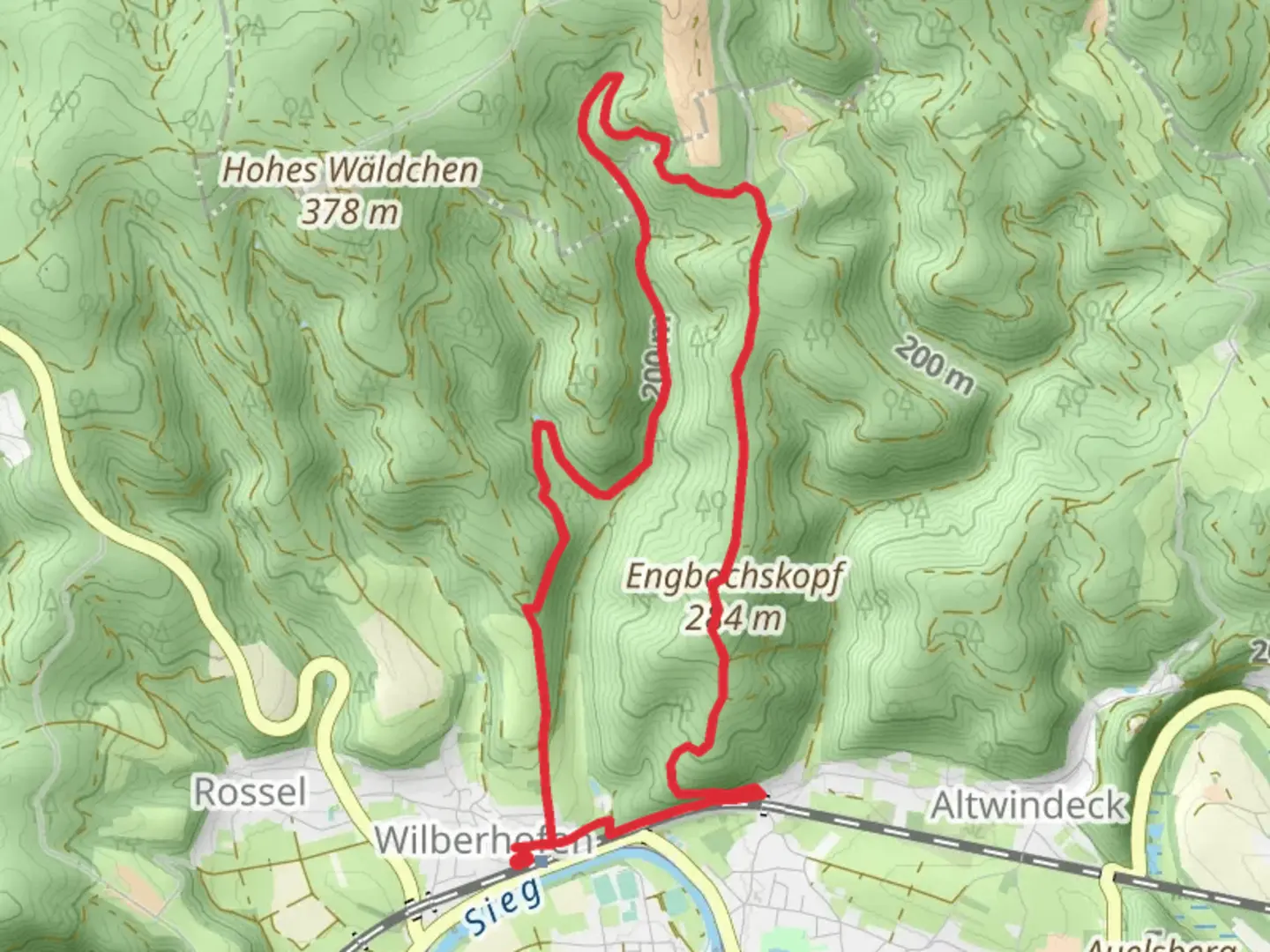
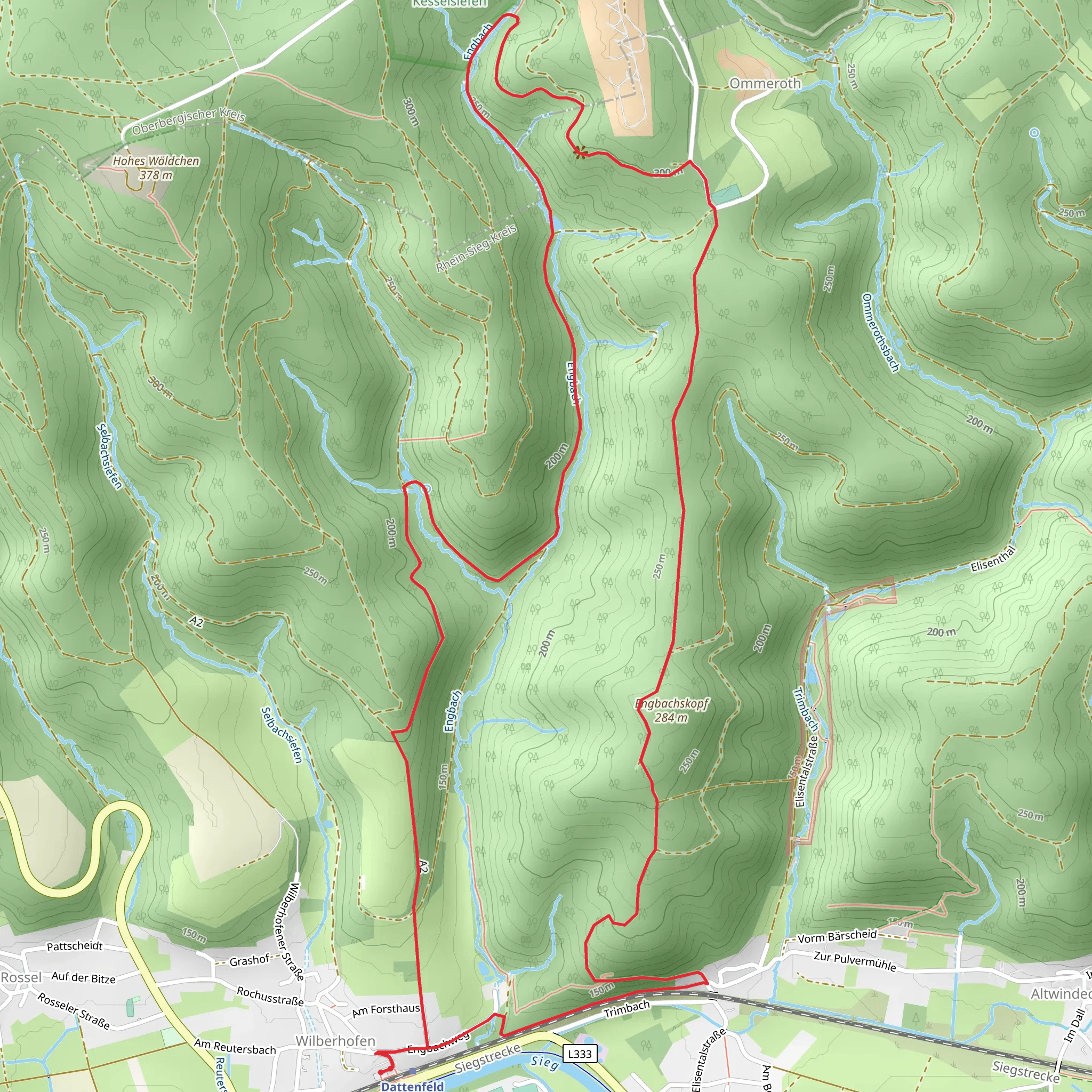
Nestled in the picturesque region of Rhein-Sieg-Kreis, Germany, the Wilberhofen Rundweg offers a delightful loop trail that spans approximately 9 kilometers (about 5.6 miles) with an elevation gain of around 300 meters (approximately 984 feet). This medium-difficulty trail is perfect for those looking to immerse themselves in the serene beauty of the German countryside while enjoying a moderately challenging hike.
Getting There
To reach the trailhead, which is conveniently located near Rhein-Sieg-Kreis, you have several options. If you're traveling by car, you can set your GPS to the nearby town of Hennef, which is well-connected by road. From Hennef, follow the signs to Wilberhofen, where you'll find parking facilities close to the trail's starting point. For those relying on public transport, take a train to Hennef (Sieg) station. From there, local buses or a short taxi ride will bring you to the trailhead.
Trail Highlights
As you embark on the Wilberhofen Rundweg, you'll be greeted by a diverse landscape that showcases the natural beauty of the region. The trail meanders through lush forests, open meadows, and charming rural areas, offering a variety of scenery to enjoy. Keep an eye out for the vibrant wildflowers that dot the landscape, especially during the spring and summer months.
Historical Significance
The area surrounding the Wilberhofen Rundweg is steeped in history. As you hike, you'll pass by remnants of ancient settlements and historical landmarks that tell the story of the region's past. One notable site is the nearby Blankenberg Castle, a medieval fortress that dates back to the 12th century. Although not directly on the trail, it's worth a short detour to explore this fascinating piece of history.
Wildlife and Nature
The trail is home to a variety of wildlife, making it a great spot for nature enthusiasts. Keep your eyes peeled for deer, foxes, and a wide array of bird species that inhabit the area. The dense forests provide a natural habitat for these animals, offering hikers a chance to observe them in their natural environment.
Navigation and Safety
While the Wilberhofen Rundweg is well-marked, it's always a good idea to have a reliable navigation tool on hand. The HiiKER app is an excellent resource for tracking your progress and ensuring you stay on the right path. The trail's moderate difficulty means it's suitable for most hikers, but be prepared for some steep sections that may require a bit of extra effort.
Final Tips
Before setting out, make sure to check the weather forecast and dress accordingly. The trail can be muddy after rain, so sturdy hiking boots are recommended. Bring plenty of water and snacks, as there are limited facilities along the route. With its blend of natural beauty, historical intrigue, and wildlife, the Wilberhofen Rundweg promises a rewarding hiking experience for those who venture onto its paths.
Comments and Reviews
User comments, reviews and discussions about the Wilberhofen Rundweg, Germany.
average rating out of 5
0 rating(s)
