Download
3D Flyover
Add to list
More
12.7 km
~2 hrs 44 min
117 m
Loop
“Explore the Rederkreuz Rundweg's rich history and diverse landscapes on this 13 km medium-difficulty loop trail.”
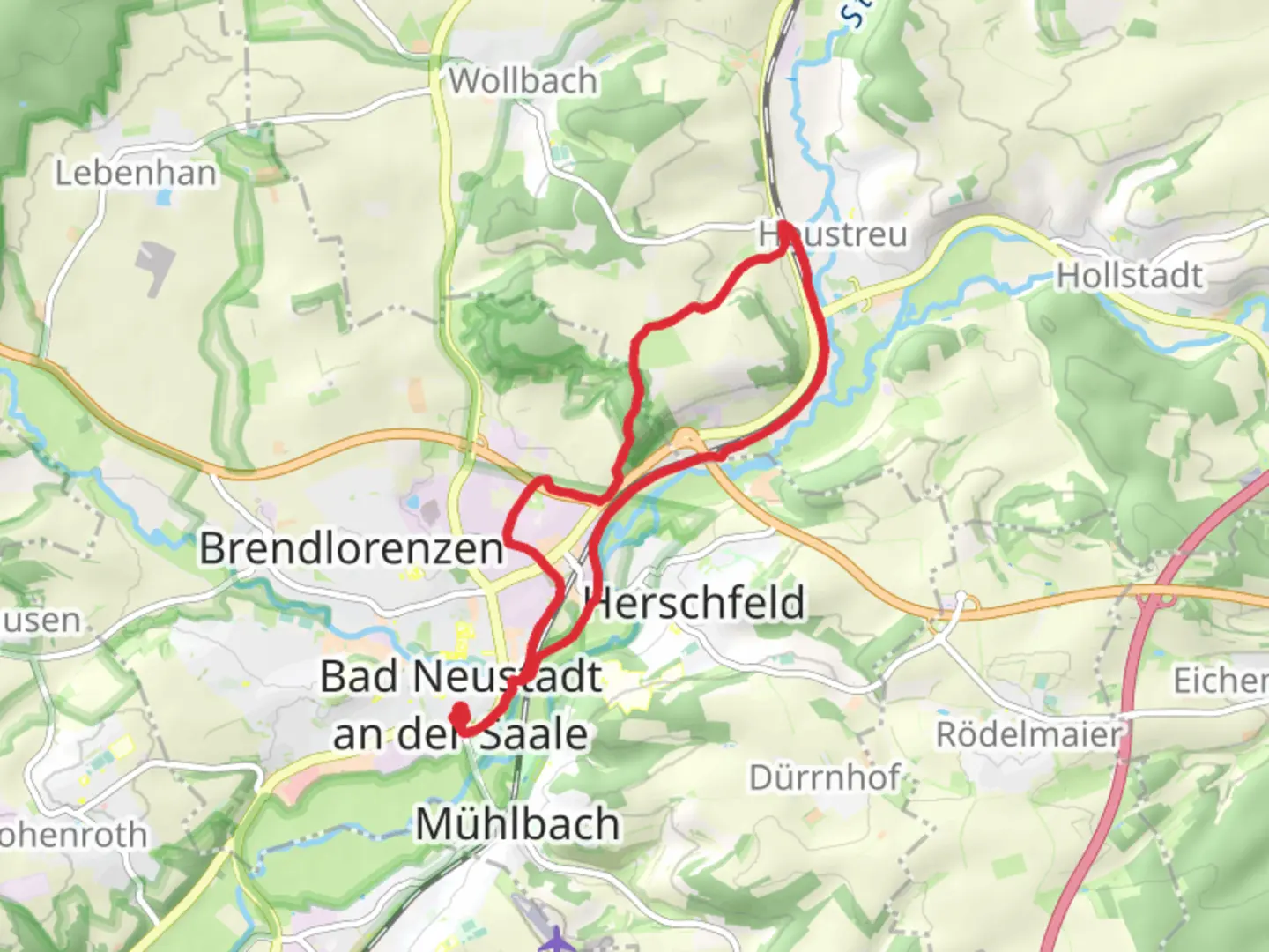
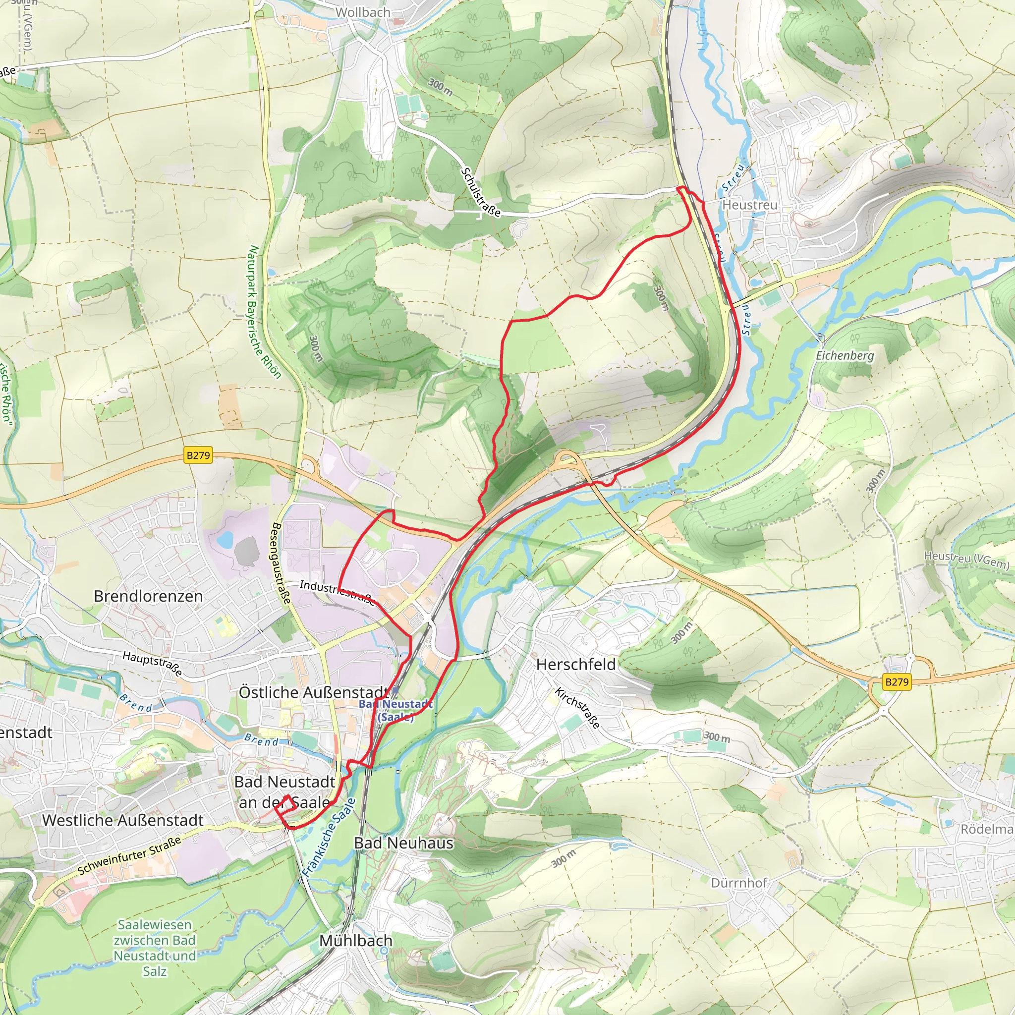
Starting near Rhön-Grabfeld, Germany, the Rederkreuz Rundweg is a loop trail that spans approximately 13 kilometers (8 miles) with an elevation gain of around 100 meters (328 feet). This trail is rated as medium difficulty, making it suitable for moderately experienced hikers.
Getting There
To reach the trailhead, you can drive or use public transport. If driving, set your GPS to Rhön-Grabfeld, and you will find parking options near the trailhead. For those using public transport, the nearest significant landmark is the town of Bad Neustadt an der Saale. From there, you can take a local bus or taxi to the trailhead.
Trail Navigation
For navigation, it is highly recommended to use the HiiKER app, which provides detailed maps and real-time updates. The trail is well-marked, but having a reliable navigation tool will enhance your hiking experience.
Trail Highlights
The Rederkreuz Rundweg offers a variety of landscapes, from dense forests to open meadows. Early in the hike, you will encounter a serene forest area filled with tall, ancient trees. This section is relatively flat, making it a good warm-up for the more varied terrain ahead.
Significant Landmarks
Around the 4-kilometer (2.5-mile) mark, you will come across the Rederkreuz, a historic cross that gives the trail its name. This cross is a significant landmark and offers a great spot for a short break and some photos. The area around the Rederkreuz is rich in history, dating back to medieval times when it served as a waypoint for pilgrims.
Flora and Fauna
As you continue, the trail opens up into meadows where you can spot a variety of wildflowers, especially in the spring and summer months. Keep an eye out for local wildlife such as deer, foxes, and a variety of bird species. The meadows also offer panoramic views of the surrounding Rhön Mountains, a UNESCO Biosphere Reserve known for its unique geology and biodiversity.
Elevation and Terrain
The trail features a gentle ascent and descent, with the highest point being around 100 meters (328 feet) above the starting elevation. The terrain is a mix of dirt paths and gravel roads, so sturdy hiking boots are recommended. There are a few sections with loose rocks, so watch your footing.
Historical Significance
The Rhön-Grabfeld region has a rich history, and the trail passes through areas that have been inhabited since ancient times. You may come across old stone walls and remnants of past settlements. The region was also a significant area during the Cold War, serving as a border zone between East and West Germany.
Final Stretch
As you near the end of the loop, the trail descends gently back towards the starting point. This section offers a mix of shaded forest paths and open fields, providing a relaxing end to your hike.
Practical Tips
- Bring enough water and snacks, as there are no facilities along the trail.
- Check the weather forecast before you go; the trail can be muddy after rain.
- Use the HiiKER app for real-time navigation and updates.
This trail offers a perfect blend of natural beauty, historical landmarks, and moderate physical challenge, making it a rewarding experience for any hiker.
Comments and Reviews
User comments, reviews and discussions about the Rederkreuz Rundweg, Germany.
average rating out of 5
0 rating(s)
