Download
3D Flyover
Add to list
More
426.7 km
~17 days
7071 m
Multi-Day
“Embark on the Fränkischer Gebirgsweg to explore Franconia's varied landscapes and historical treasures.”
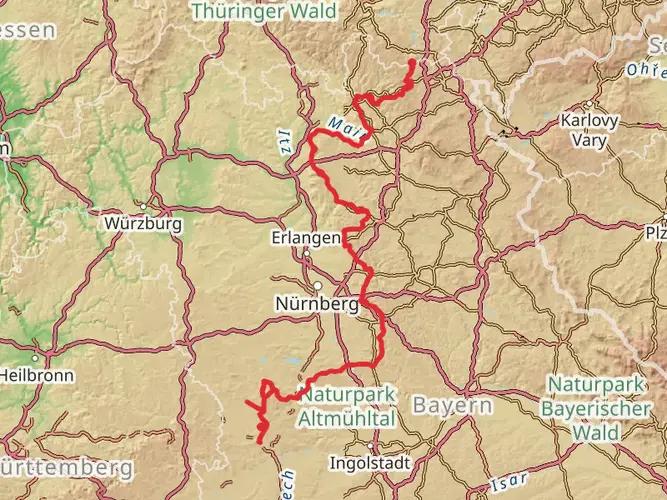
Spanning approximately 427 kilometers (265 miles) with an elevation gain of around 7000 meters (23,000 feet), the Fränkischer Gebirgsweg trail offers a medium-difficulty hiking experience through the diverse landscapes of the Franconian region in Germany. This point-to-point trail begins near the Saale-Orla-Kreis, a district in Thuringia, and weaves its way through the enchanting scenery of northern Bavaria.
Getting to the Trailhead
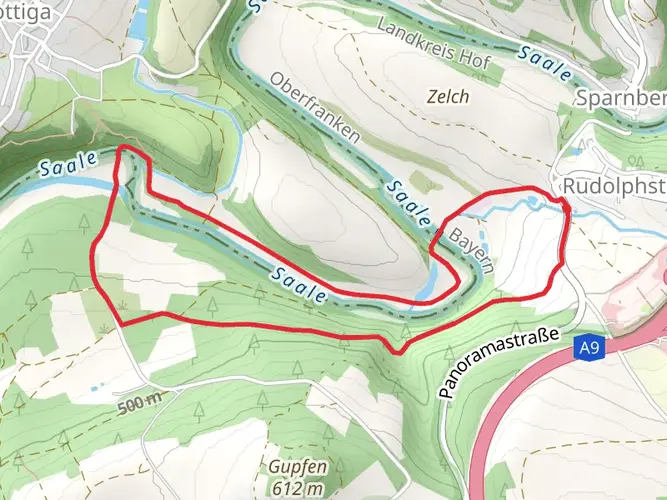
To reach the starting point of the Fränkischer Gebirgsweg, hikers can utilize public transportation or drive. The nearest significant landmark to the trailhead is the town of Blankenstein, which is well-connected by regional trains and buses. If driving, Blankenstein can be accessed via the A9 motorway, followed by a journey on smaller roads leading directly to the trailhead.
Navigating the Trail
Hikers can rely on the HiiKER app for detailed maps and navigation assistance throughout their journey. The trail is well-marked, but having a digital tool can provide additional peace of mind and help with planning daily hiking segments.
Trail Highlights and Landmarks
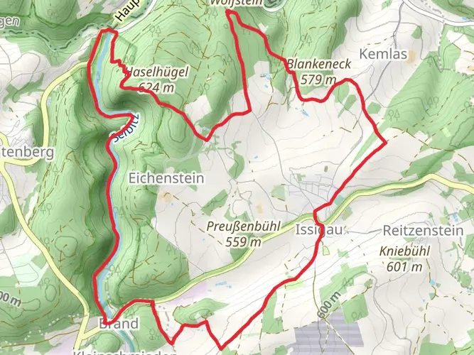
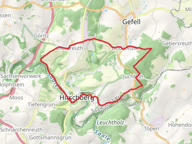
As you embark on the Fränkischer Gebirgsweg, you'll traverse a variety of terrains, including lush forests, rolling hills, and rocky outcrops. The trail offers a rich tapestry of natural beauty, with opportunities to spot local wildlife such as deer, foxes, and a variety of bird species.
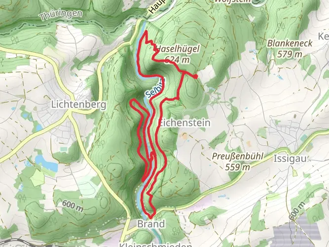
One of the early highlights is the ascent to the Schiefergebirge, a mountain range known for its unique slate formations. This area provides panoramic views and a chance to understand the geological diversity of the region.
Further along, the trail passes through the historic town of Bayreuth, famous for its annual Richard Wagner Festival. Hikers can explore the town's baroque architecture and visit the Margravial Opera House, a UNESCO World Heritage site.
Cultural and Historical Significance
The Franconian region is steeped in history, with numerous castles, ruins, and medieval towns dotting the landscape. The trail often winds past these historical sites, offering a glimpse into the area's past. The Fränkische Schweiz area, known for its picturesque villages and traditional customs, is a cultural highlight not to be missed.
Preparation and Planning
Given the trail's length and varied terrain, hikers should prepare adequately with suitable gear for changing weather conditions. It's advisable to carry layers, rain protection, and sturdy hiking boots. Water sources are available along the trail, but carrying a water filter or purification tablets is recommended.
For accommodation, there are guesthouses and inns at various points along the route, allowing for comfortable rest stops. It's wise to book these in advance, especially during peak hiking seasons.
Seasonal Considerations
The best time to hike the Fränkischer Gebirgsweg is from late spring to early autumn when the weather is mild, and the natural scenery is at its most vibrant. Winter hiking is possible but requires additional preparation for snow and colder temperatures.
By planning your hike on the Fränkischer Gebirgsweg with these details in mind, you can look forward to an enriching experience that combines the natural beauty of the Franconian mountains with the region's rich cultural tapestry.

Frequently asked questions
How long is the Fränkischer Gebirgsweg and how many stages do hikers usually split it into?
The Fränkischer Gebirgsweg is about 426.74 km long, and the official route is commonly organized into four broad sections: Frankenwald, northern Fichtelgebirge, southern Fichtelgebirge, and Franconian Switzerland with Nürnberger Land. Most end-to-end hikers break that into many daily stages based on lodging and transport rather than trying to cover it in only four long sections.
Where does the Fränkischer Gebirgsweg start and finish?
The Fränkischer Gebirgsweg starts in Untereichenstein in the Frankenwald near the former inner-German border and finishes in Hersbruck in Nürnberger Land in the Pegnitz valley. That makes it a true point-to-point long-distance trail crossing northern Bavaria from the Saale-Orla-Kreis area toward Franconian Switzerland and onward to Hersbruck.
Is the Fränkischer Gebirgsweg well marked and easy to follow without a paper map?
The Fränkischer Gebirgsweg is officially described as excellently signposted in both directions with its own trail logo. The route is still a long multi-day walk with natural and sometimes path-like sections, so navigation support is useful, but waymarking on the main trail is generally strong across the 428 km route.
What is the first stage of the Fränkischer Gebirgsweg like from the trailhead area?
The opening stretch of the Fränkischer Gebirgsweg begins in the Untereichenstein and Blankenstein area in the Frankenwald, close to the former border zone. Early on, the route sets the tone for the whole trail with forested terrain, steady climbs, and the medium-difficulty profile that continues across the full 7,071 m of ascent.
Are there places to stay along the Fränkischer Gebirgsweg?
Yes. The Fränkischer Gebirgsweg has a network of hiker-oriented accommodations along the route, including certified Qualitätsgastgeber Wanderbares Deutschland properties. Lodging is spread across trail towns and villages such as Selbitz, Plech, and other communities on the route, so many hikers plan daily distances around overnight stops rather than fixed mileage targets.
Can hikers arrange luggage transfer on the Fränkischer Gebirgsweg?
Yes, luggage transfer is a realistic option on the Fränkischer Gebirgsweg because some certified hiking accommodations on the route specifically offer the possibility of Gepäcktransport. Availability depends on the stage and lodging choice, so the trail is suitable both for traditional backpacking and for inn-to-inn walking with lighter day packs.
Which part of the Fränkischer Gebirgsweg is often considered the most scenic?
Many hikers single out the Fränkische Schweiz section of the Fränkischer Gebirgsweg as one of the standout stretches because it combines steep-sided valleys, dolomite rock formations, caves, and historic towns. Places around Pottenstein, Ahorntal, Betzenstein, and Aufseß are especially scenic, with highlights including Burg Pottenstein, the Sophienhöhle, and the rocky landscapes above the Püttlach and Wiesent valleys.
Are there any current diversions or closures on the Fränkischer Gebirgsweg?
There can be. The Fränkischer Gebirgsweg has an official current-diversions page, and one documented example has affected trails around the Ochsenkopf area in the Fichtelgebirge during cableway construction work. Because this is a 428 km route crossing several regions, checking for active Umleitungen before each stage is sensible, especially in the Fichtelgebirge.
Comments and Reviews
User comments, reviews and discussions about the Fränkischer Gebirgsweg, Germany.
4.91
average rating out of 5
11 rating(s)