Download
3D Flyover
Add to list
More
191.2 km
~7 days
1173 m
Multi-Day
“Embark on the scenic Wendland Rundweg, a historic and nature-rich 191 km German hiking adventure.”
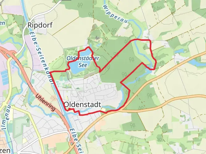
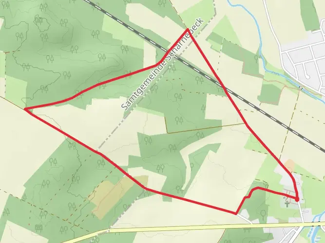
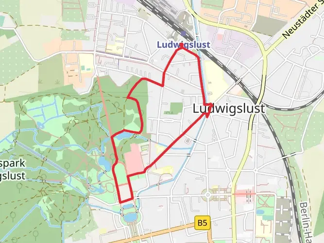
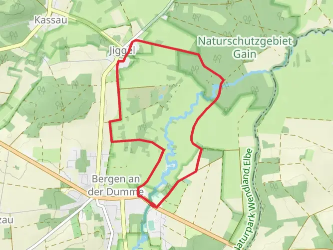
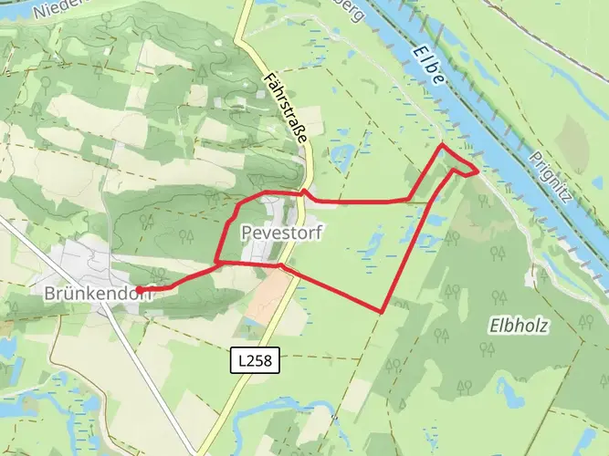
The Wendland Rundweg is a captivating loop trail that spans approximately 191 kilometers (about 119 miles) and encompasses an elevation gain of around 1100 meters (approximately 3609 feet). This trail is nestled in the picturesque region near Samtgemeinde Elbtalaue, Germany, offering hikers a medium difficulty rating and an immersive experience into the natural beauty and historical richness of the area.
Getting to the Trailhead
To reach the starting point of the Wendland Rundweg, hikers can either drive or use public transportation. For those opting to drive, the trailhead is accessible near the town of Samtgemeinde Elbtalaue. Parking is available in the vicinity, allowing for convenient access to the trail. Public transport users can take advantage of the local bus services that connect to the nearby towns, from where the trailhead is a short walk away.
Navigating the Trail
Hikers can rely on the HiiKER app for detailed navigation throughout the Wendland Rundweg. The app provides up-to-date trail maps and essential waypoints to ensure a smooth hiking experience.
Trail Experience
As you embark on the Wendland Rundweg, you'll traverse through a variety of landscapes, including lush forests, serene riverbanks, and open meadows. The trail is well-marked, guiding hikers through the enchanting Wendland region, known for its unique round villages (Rundlingsdörfer) and rich cultural heritage.
Historical Significance and Landmarks
The Wendland area is steeped in history, with its round villages dating back to the Slavic settlements of the 12th century. These circular villages are a distinctive feature of the region, and hikers will have the opportunity to witness this unique architectural style firsthand. The trail also passes by ancient megalithic tombs, adding a prehistoric touch to the journey.
Nature and Wildlife
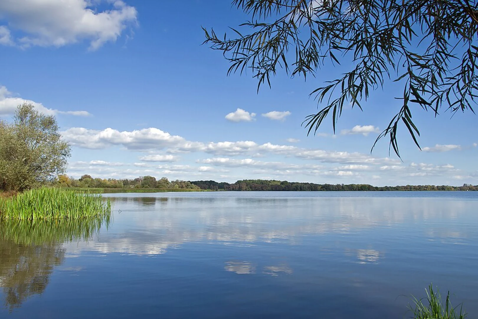
The Wendland Rundweg offers a haven for nature enthusiasts. The trail meanders through the Elbhöhen-Wendland Nature Park, where hikers can observe a diverse array of flora and fauna. Birdwatchers will be delighted by the variety of bird species that can be spotted, including white-tailed eagles and black storks. The trail also crosses several conservation areas, emphasizing the importance of preserving the region's natural habitats.
Preparation and Planning
Hikers should prepare for the Wendland Rundweg by packing appropriate gear for the varied terrain and weather conditions. Sturdy hiking boots, weather-appropriate clothing, and sufficient water and food supplies are essential. Given the trail's length, it is advisable to plan for multiple days of hiking and to arrange accommodations in advance, as there are several guesthouses and inns along the route.
Seasonal Considerations
The Wendland Rundweg can be hiked year-round, but the best time to visit is from late spring to early autumn when the weather is mild, and the natural scenery is at its most vibrant. Hikers should be aware of the changing conditions and plan accordingly, especially during the colder months.
By following these guidelines and utilizing the HiiKER app for navigation, hikers can fully immerse themselves in the beauty and history of the Wendland Rundweg, creating a memorable outdoor adventure.

Frequently asked questions
How long does the Wendland Rundweg take to hike as a multi-day trail?
The Wendland Rundweg is about 191.16 km long with roughly 1,173 m of total ascent, so it is normally planned as a multi-day hike rather than a weekend walk. Many hikers break a route of this length into around 8 to 10 daily stages, depending on pace, lodging stops, and how much time is spent in villages and nature areas along the loop.
How difficult is the Wendland Rundweg and is the terrain very steep?
The Wendland Rundweg is rated medium difficulty. The total elevation gain is about 1,173 m spread across a 191.16 km circuit, so the challenge comes more from the overall distance and repeated walking days than from sustained mountain climbing. Expect a varied route through lowland landscapes with some hillier sections in the Drawehn area.
Is there a map for the Wendland Rundweg and is the route waymarked?
Yes. The Wendland Rundweg is a signed long-distance loop of about 190.2 km, and the regional tourism body describes it as ausgeschildert, meaning waymarked on the ground. An interactive map is also available for the route, which helps with planning daily stages across the wider Wendland circuit.
What landscapes and landmarks does the Wendland Rundweg pass through?
The Wendland Rundweg links several of the region’s best-known landscapes on one circuit. The route combines the Elbe lowlands, the Drawehn ridge, the Göhrde forest, the Nemitzer Heide heathland, and the distinctive Rundlingsdörfer, the historic round villages for which the Wendland is known.
Does the Wendland Rundweg include the Wendland-Querweg?
Yes. The Wendland Rundweg is made up of three named sections: about 63.3 km of the Elb-Höhenweg, 68.4 km of the Wendland-Querweg, and 58.5 km of the Drawehn-Höhenweg. That means the Wendland-Querweg is not a separate add-on for most hikers on this loop; it is one of the core parts of the full circuit.
Can the Wendland Rundweg be done by bike instead of on foot?
The Wendland Rundweg is a hiking route, not a dedicated cycling trail. It is described as a Rundwanderweg, or circular walking route, and is signposted for hikers. Cycling is popular in the wider Wendland region, but anyone planning to ride should treat the Wendland Rundweg itself as a walking trail and check local access on individual sections before using a bike.
Comments and Reviews
User comments, reviews and discussions about the Wendland Rundweg, Germany.
4.75
average rating out of 5
4 rating(s)