Download
3D Flyover
Add to list
More
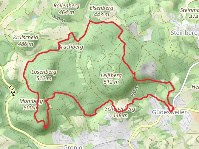
59.9 km
~3 days
1009 m
Multi-Day
“Hike the historical Jakobsweg from St. Wendel to Saarbrücken, embracing Saarland's beauty and cultural heritage.”
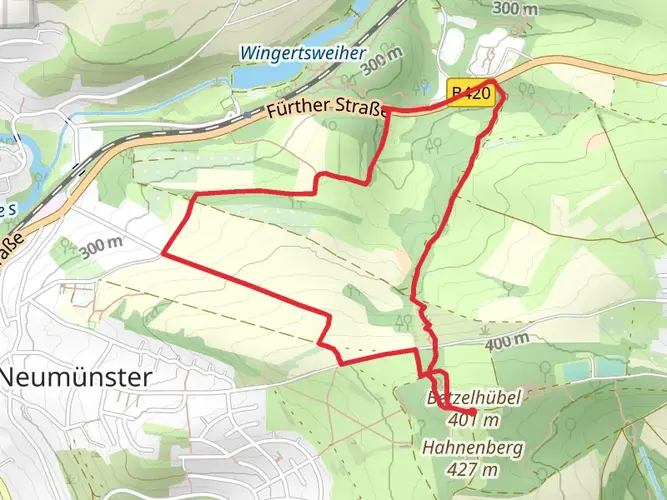
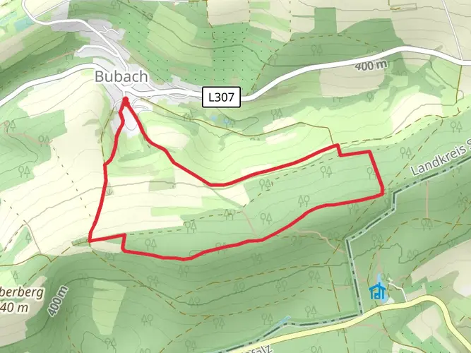
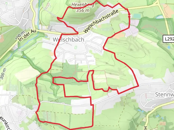
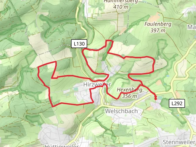
Embarking on the Jakobsweg St Wendel - Saarbrücken trail, hikers will traverse approximately 60 kilometers (about 37 miles) through the scenic countryside of Saarland, Germany. With an elevation gain of around 1000 meters (3280 feet), the journey from St. Wendel to Saarbrücken is a moderately challenging adventure that offers a blend of natural beauty and historical richness.
Getting to the Trailhead
The starting point of the trail is near the town of St. Wendel, which is easily accessible by public transportation or car. For those opting for public transport, St. Wendel is well-connected by train, with regular services from major cities. Upon arrival at the St. Wendel train station, the trailhead is just a short walk away. If driving, there are parking facilities in the vicinity of the trailhead where you can leave your vehicle.
The Journey Begins
As you set out from St. Wendel, the trail will lead you through a landscape dotted with rolling hills and lush forests. The initial section of the trail is relatively flat, allowing hikers to ease into the journey. The path is well-marked, and using the HiiKER app will help in navigating the route with ease.
Historical Landmarks and Cultural Significance
The Jakobsweg, or the Way of St. James, is part of a network of pilgrimage routes leading to the shrine of the apostle Saint James the Great in the cathedral of Santiago de Compostela in Spain. As you walk, you'll be following in the footsteps of countless pilgrims who have traversed these paths for centuries. The trail is sprinkled with historical landmarks, including ancient churches, chapels, and crosses that bear witness to the religious significance of the region.
Natural Highlights and Wildlife
Throughout the hike, you'll encounter a variety of landscapes, from serene river valleys to dense woodlands. The trail offers the opportunity to observe local wildlife, including deer, birds of prey, and a myriad of insects and flora. The changing seasons bring different hues and atmospheres to the trail, with vibrant greens in spring and summer, and rich golds and reds in autumn.
Elevation and Terrain Challenges
While the overall difficulty of the trail is rated as medium, there are sections where the elevation gain becomes more pronounced. These uphill stretches will test your endurance, but the effort is rewarded with panoramic views of the surrounding countryside. Be prepared for uneven terrain and a few steep inclines, especially as you approach the latter half of the route.
Approaching Saarbrücken
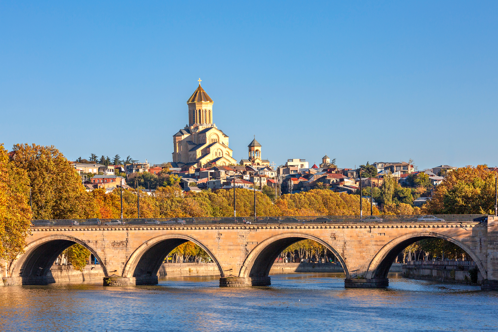
As you near the end of the trail, the urban landscape of Saarbrücken begins to unfold. The final kilometers will lead you into the heart of the city, where the trail concludes. Saarbrücken, the capital of Saarland, offers a stark contrast to the natural settings you've experienced, with its vibrant city life, historical buildings, and modern amenities.
Preparation and Planning
Before embarking on the Jakobsweg St Wendel - Saarbrücken, ensure you have adequate supplies, including water, snacks, and a first-aid kit. The weather can be unpredictable, so pack layers and rain gear. Sturdy hiking boots are a must, as the terrain can be challenging in places. Plan your stops and accommodations in advance, as there are several towns and villages along the route where you can rest and replenish.
Remember to download the HiiKER app for detailed maps and trail information, which will be an invaluable tool for navigation and planning your hike on the Jakobsweg St Wendel - Saarbrücken.

Frequently asked questions
Where does the Jakobsweg St Wendel - Saarbrücken start in Saarland?
The Jakobsweg St Wendel - Saarbrücken starts in St. Wendel, with the route beginning at the Wendelinus Basilica in town. St. Wendel is a practical trailhead because the station has regular regional rail connections, and the full route runs about 59.89 km south toward Saarbrücken.
How long is the Jakobsweg St Wendel - Saarbrücken hike?
The Jakobsweg St Wendel - Saarbrücken is 59.89 km long, which is just over 37 miles. It is usually treated as a multi-day walk rather than a single-day hike, especially with a total elevation gain of 1,009 meters spread across the route.
Is the Jakobsweg St Wendel - Saarbrücken suitable for beginners?
Yes. The Jakobsweg St Wendel - Saarbrücken is rated easy, which makes it one of the more approachable Camino-style walks in Saarland for newer hikers. Even so, 59.89 km is still a substantial distance, so most walkers break it into stages between St. Wendel and Saarbrücken.
Can you walk the Jakobsweg St Wendel - Saarbrücken without much training?
Many walkers with modest fitness can complete the Jakobsweg St Wendel - Saarbrücken because the route is graded easy rather than strenuous. The main challenge is endurance over nearly 60 km and 1,009 meters of climbing, so it is better suited to a steady multi-day pace than an unplanned one-day effort.
Can the Jakobsweg St Wendel - Saarbrücken connect onward toward Santiago de Compostela?
Yes. The St. Wendel to Saarbrücken section is part of the wider Way of St. James network, and in Saarbrücken the pilgrimage can continue west via Metz and Vézelay toward Santiago de Compostela. That makes this route a Saarland segment of a much longer historic pilgrimage corridor rather than an isolated local trail.
Does the Jakobsweg St Wendel - Saarbrücken go toward France?
Indirectly, yes. The Jakobsweg St Wendel - Saarbrücken ends in Saarbrücken near the German-French border, and onward pilgrimage routes from Saarbrücken continue toward Metz in France. This section itself stays within Saarland, but it links into the cross-border St. James network.
How do you get to the Jakobsweg St Wendel - Saarbrücken trailhead without a car?
Public transit is straightforward for the Jakobsweg St Wendel - Saarbrücken because St. Wendel has a rail station with regional services, including connections toward Saarbrücken. From the station, the start area in St. Wendel is within walking distance, making the route practical for point-to-point hiking.
Comments and Reviews
User comments, reviews and discussions about the Jakobsweg St Wendel - Saarbrücken, Germany.
4.83
average rating out of 5
6 rating(s)