Download
3D Flyover
Add to list
More
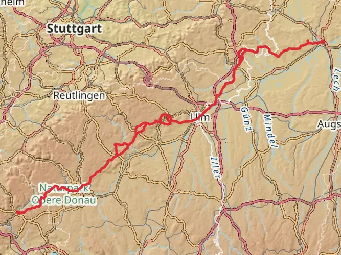
157.2 km
~6 days
2383 m
Multi-Day
“Embark on the Albschäferweg for a historic trek through the Swabian Jura's diverse landscapes and cultural relics.”
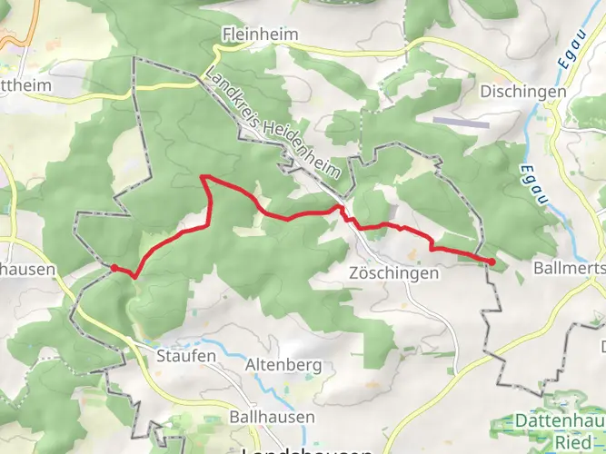
The Albschäferweg, a scenic loop trail spanning approximately 157 kilometers (about 97.5 miles) with an elevation gain of around 2300 meters (approximately 7546 feet), offers hikers a medium-difficulty trek through the beautiful landscapes of the Swabian Jura in Germany. Starting near the administrative community of Giengen an der Brenz, the trail is well-marked and takes you through a variety of terrains including lush forests, rolling hills, and picturesque valleys.
Getting to the Trailhead
To reach the starting point of the Albschäferweg, hikers can drive to the vicinity of Giengen an der Brenz, where parking is available. For those preferring public transport, the area is accessible by train with the nearest station being Giengen an der Brenz. From there, local buses or a short taxi ride can bring you to the trailhead.
Navigating the Trail
Hikers can rely on the HiiKER app for detailed maps and navigation assistance throughout the Albschäferweg. The app provides real-time GPS tracking and route planning, which is particularly helpful in planning breaks and overnight stays along this multi-day route.
Landmarks and Scenery
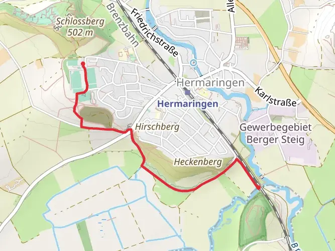
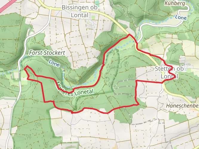
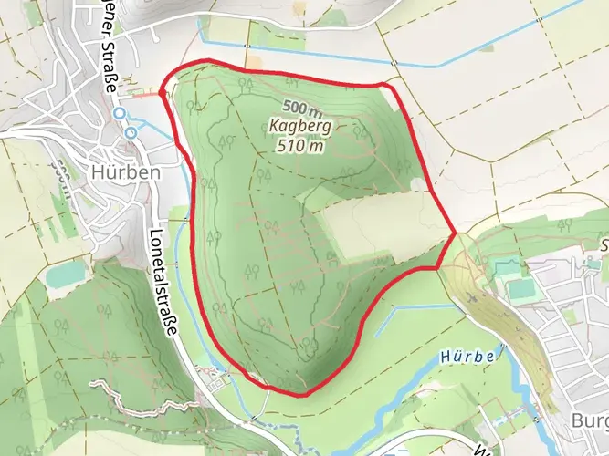
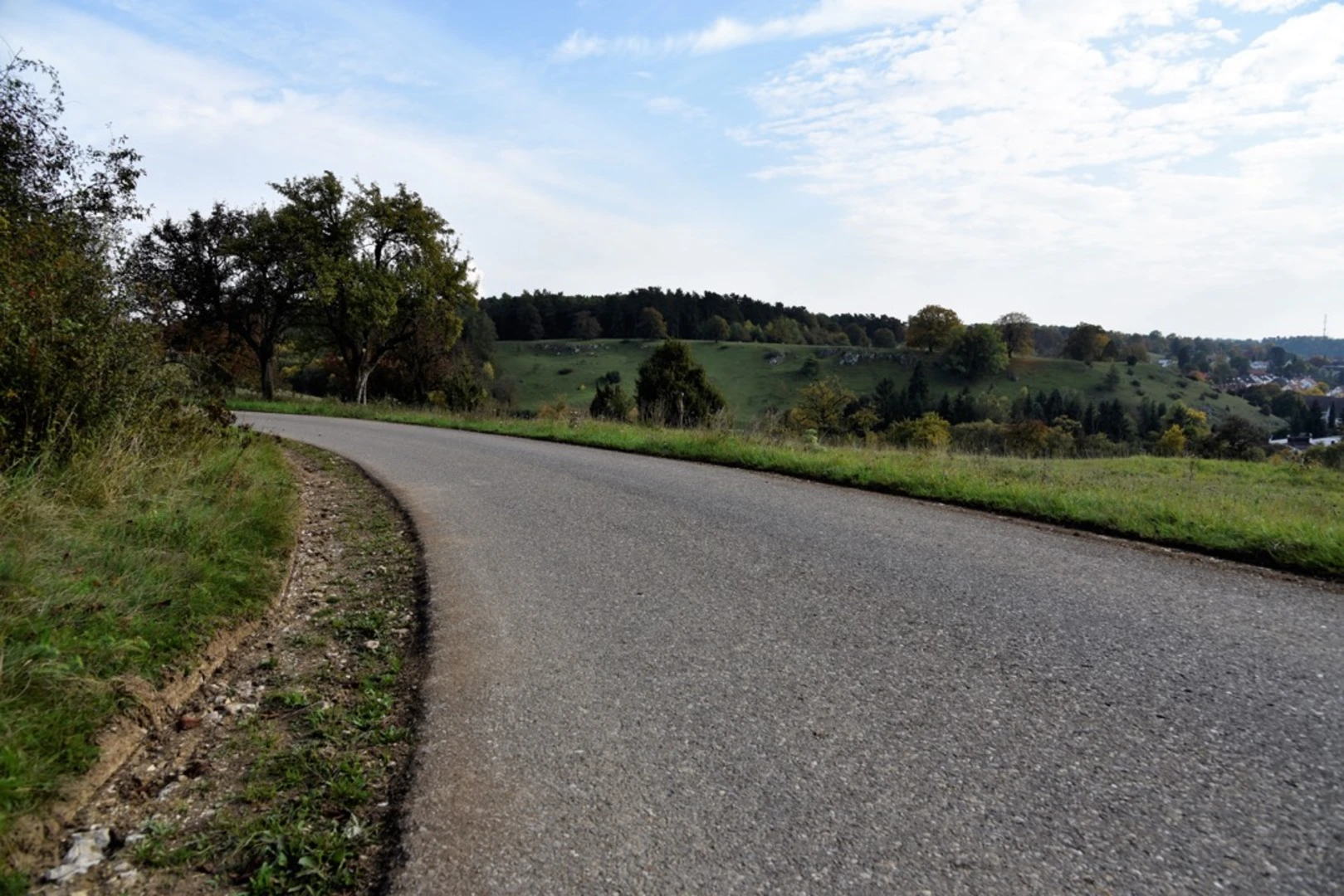
As you embark on the Albschäferweg, expect to be greeted by the serene landscapes of the Swabian Jura, characterized by its unique karst formations and rich biodiversity. The trail meanders through the Heidenheim district, offering views of the Härtsfeld plateau and the Niederalfingen castle ruins, which are steeped in history dating back to the Middle Ages.
Flora and Fauna
The region is home to a diverse range of wildlife, including red deer, wild boar, and numerous bird species. The trail also passes through several nature reserves, where you can observe the local flora, including orchids and other wildflowers that bloom in the spring and summer months.
Cultural and Historical Significance
The Albschäferweg takes its name from the historical sheep farming that was once prevalent in the region. Along the route, hikers will encounter remnants of this past, including old shepherd trails and sheep pens. The trail also passes through ancient forests and past traditional Swabian farms, offering a glimpse into the rural life of the area.
Preparation and Planning
Given the trail's length and varied terrain, it is advisable to prepare adequately with proper hiking gear, including sturdy boots and weather-appropriate clothing. Hikers should also pack sufficient water and food, although there are opportunities to restock at towns and villages along the way. It's recommended to plan for overnight stays in local guesthouses or designated camping areas to fully experience the trail's natural beauty and cultural heritage.
Remember to respect the environment by staying on marked paths and following Leave No Trace principles to preserve the trail for future hikers. With careful planning and a sense of adventure, the Albschäferweg promises an enriching hiking experience through one of Germany's most captivating landscapes.

Frequently asked questions
How many stages does the Albschäferweg have?
The Albschäferweg is typically divided into 10 stages. The full loop is about 157.17 km long, so most hikers spread it across roughly 8 to 10 days, with individual stages commonly falling in the mid-teens to low-20-kilometer range.
How long does it take to hike the Albschäferweg?
Most hikers take around 8 days to complete the Albschäferweg, though a 10-stage itinerary is also common. With a total distance of 157.17 km and 2,383 m of ascent, the route is best treated as a medium-difficulty multi-day walk rather than a short hut-to-hut trip.
Where does the Albschäferweg start and finish?
The Albschäferweg is a loop route that starts and finishes in Giengen an der Brenz in Baden-Württemberg. Common stage plans begin in Giengen, head out through the Heidenheim Brenz region and the Swabian Jura, and return to Giengen at the end of the circuit.
Is the Albschäferweg difficult?
The Albschäferweg is generally rated medium difficulty. The challenge comes less from extreme altitude and more from its 157.17 km length, 2,383 m of total climbing, and the need to manage several consecutive days of walking across rolling Alb terrain, forests, valleys, and open plateau sections.
Can the Albschäferweg be reached by public transport?
Yes. Giengen an der Brenz is served by rail, making public-transport access realistic for the start and finish of the loop. Because the route returns to the same town, logistics are simpler than on a point-to-point long-distance trail, and many hikers use Giengen station as the main access point.
What are the main highlights on the Albschäferweg?
The Albschäferweg is known for a mix of landscape and cultural highlights across the Heidenheimer Brenzregion. Notable places associated with the route include juniper heath, dry valleys, the Härtsfeld uplands, Kloster Neresheim, Burg Katzenstein, and sections near the Lonetal with its strong prehistoric and karst landscape character.
Is the Albschäferweg well marked?
Yes. The Albschäferweg is waymarked throughout with a shepherd symbol on a blue background, which makes it one of the more straightforward long-distance routes to follow in this part of the Swabian Jura. Even so, navigation support is useful on a 157 km circuit with multiple daily stage options.
Comments and Reviews
User comments, reviews and discussions about the Albschäferweg, Germany.
4.0
average rating out of 5
5 rating(s)