Download
3D Flyover
Add to list
More
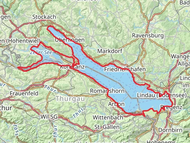
254.0 km
~10 days
2559 m
Multi-Day
“Embark on the Martinusweg Regionalweg Süd, a scenic sojourn through Germany's historical and natural splendors.”
The Martinusweg Regionalweg Süd is a captivating journey through the picturesque landscapes of southern Germany, stretching approximately 254 kilometers (about 158 miles) with an elevation gain of around 2500 meters (approximately 8200 feet). This point-to-point trail offers a medium difficulty rating, making it accessible to hikers with a reasonable level of fitness and experience.
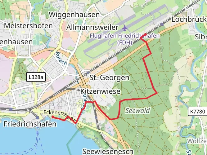
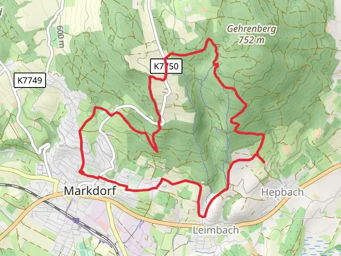
Starting near the Verwaltungsverband Markdorf, the trailhead is conveniently located for those looking to embark on this adventure. To reach the starting point, hikers can utilize public transportation options such as regional trains and buses that service the area, or they can drive and park in designated areas near Markdorf.
Navigating the Trail
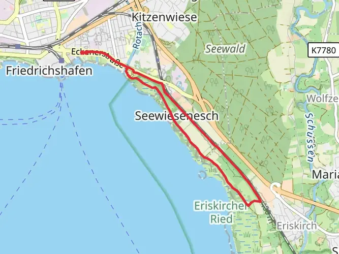
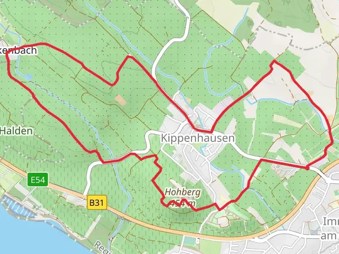
As you set out on the Martinusweg Regionalweg Süd, you'll find that the path is well-marked, guiding you through a variety of terrains including lush forests, rolling hills, and serene valleys. Hikers can rely on HiiKER, a navigation tool, to help stay on track and be aware of upcoming changes in the trail or elevation.
Landmarks and Historical Significance
The trail is not only a physical journey but also a historical one, as it follows the footsteps of St. Martin of Tours, a significant figure in the Christian faith. Along the route, you'll encounter various chapels, churches, and shrines dedicated to the saint, each telling a part of the region's rich religious history.
One of the notable landmarks is the Basilica of St. Martin in Weingarten, a stunning example of Baroque architecture. As you approach the halfway mark, around 127 kilometers (about 79 miles) into your hike, the basilica's impressive structure serves as a reminder of the area's spiritual heritage.
Flora and Fauna
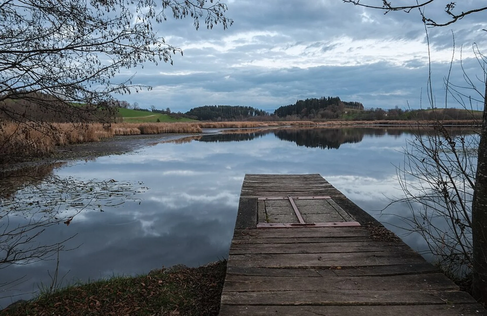
The trail meanders through the diverse ecosystems of southern Germany, offering hikers the chance to observe a wide range of flora and fauna. The forests are home to towering beech and oak trees, while the open meadows are dotted with wildflowers in the spring and summer months. Birdwatchers will delight in the variety of species that can be spotted, from the common buzzard to the colorful kingfisher.
Preparation and Planning
Before embarking on the Martinusweg Regionalweg Süd, it's essential to plan accordingly. The trail can be completed in sections or as a multi-day trek, with various accommodations available along the route, including guesthouses and campsites. Ensure you have a detailed map, preferably downloaded onto your HiiKER app for offline use, and check the weather forecast to prepare for the conditions you might face.
Access to the Trail
To access the trailhead near Verwaltungsverband Markdorf, hikers coming from afar can fly into Friedrichshafen Airport and take a bus or train to Markdorf. Those arriving by car will find parking options in the vicinity of the trailhead. It's advisable to arrive early, especially during peak hiking seasons, to secure a spot.
Remember to respect the trail and its surroundings by following Leave No Trace principles, ensuring that the beauty of the Martinusweg Regionalweg Süd remains unspoiled for future adventurers.

Frequently asked questions
How long is the Martinusweg Regionalweg Süd and how many days does it usually take?
The Martinusweg Regionalweg Süd is 253.98 km long with 2,559 m of total elevation gain. As a multi-day route with a medium difficulty rating, it is typically approached as a long-distance pilgrimage or hiking trip broken into stages rather than a single outing.
Is the Martinusweg Regionalweg Süd a difficult long-distance hike?
The Martinusweg Regionalweg Süd is rated medium difficulty. Over nearly 254 km, the challenge comes more from the route’s length and cumulative 2,559 m of climbing than from extreme elevation, so it suits hikers with solid day-after-day fitness and some experience on longer trails.
What type of trail is the Martinusweg Regionalweg Süd?
The Martinusweg Regionalweg Süd is a multi-day point-to-point hiking route in southern Germany. It is designed for covering distance over several days, so planning for overnight stops, daily stage lengths, and transport at the start and finish is part of the trip.
Where does the Martinusweg Regionalweg Süd start near Verwaltungsverband Markdorf?
The Martinusweg Regionalweg Süd begins near Verwaltungsverband Markdorf in Germany. Markdorf is the key access point named for the route area, making it the practical place to organize arrival, supplies, and the first day’s walk before continuing along the long-distance trail.
Can the Martinusweg Regionalweg Süd be hiked as a pilgrimage route?
Yes. The Martinusweg Regionalweg Süd is set up as a long-distance walking route linked to the tradition of St. Martin of Tours, so it works both as a hiking trip and as a pilgrimage-style journey. Its point-to-point format and substantial length make it well suited to stage-by-stage walking.
What kind of terrain should hikers expect on the Martinusweg Regionalweg Süd?
The Martinusweg Regionalweg Süd covers a varied southern German landscape over 253.98 km. With 2,559 m of ascent and a medium rating, hikers should expect a mix of easier rolling sections and steadier climbing spread across multiple days rather than one continuous steep mountain route.
Comments and Reviews
User comments, reviews and discussions about the Martinusweg Regionalweg Süd, Germany.
3.0
average rating out of 5
1 rating(s)