Download
3D Flyover
Add to list
More
7.2 km
~1 hrs 45 min
192 m
Loop
“The Koelzenhain Loop is a scenic 7 km hike blending nature and history, ideal for moderate hikers.”
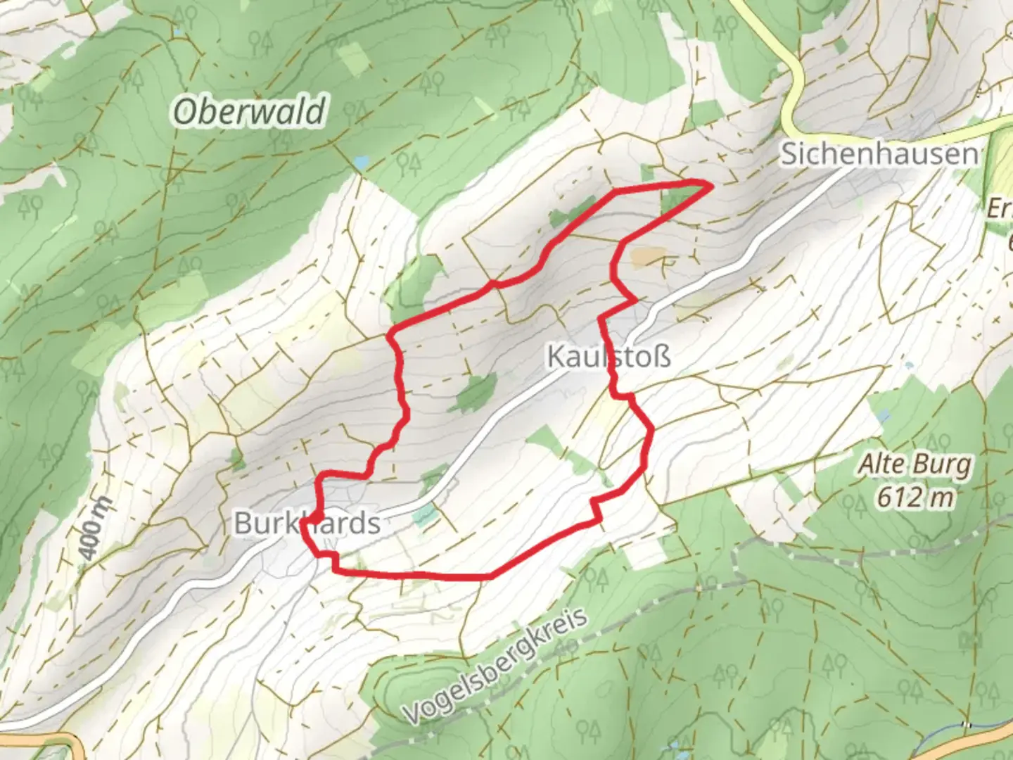
Starting near Vogelsbergkreis, Germany, the Koelzenhain Loop is a delightful 7 km (approximately 4.35 miles) trail with an elevation gain of around 100 meters (328 feet). This loop trail is rated as medium difficulty, making it suitable for moderately experienced hikers.
Getting There
To reach the trailhead, you can drive or use public transport. If driving, set your GPS to Vogelsbergkreis, and look for parking near the village of Koelzenhain. For those using public transport, the nearest significant landmark is the town of Ulrichstein. From Ulrichstein, you can take a local bus or taxi to Koelzenhain.
Trail Overview
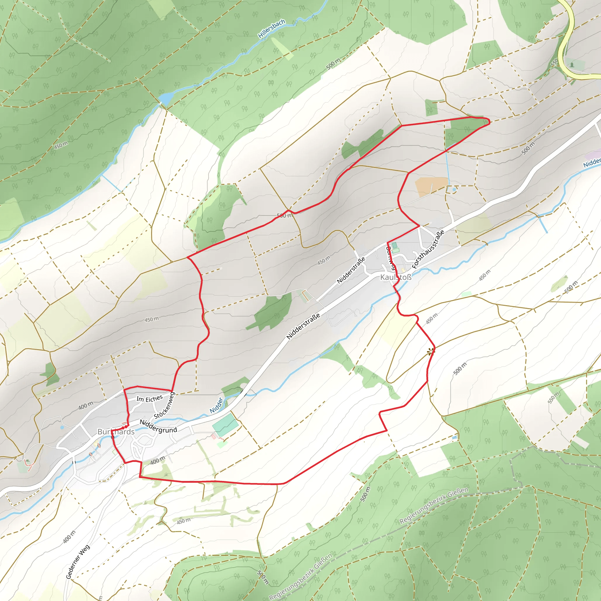
The Koelzenhain Loop begins in the charming village of Koelzenhain. As you start your hike, you'll be greeted by the serene rural landscape typical of the Vogelsberg region. The trail is well-marked, but it's always a good idea to have a reliable navigation tool like HiiKER to ensure you stay on track.
Points of Interest
Nature and Wildlife
The trail meanders through a mix of dense forests and open meadows, offering a variety of flora and fauna. Keep an eye out for native bird species and small mammals that inhabit the area. The forested sections are particularly beautiful in the fall when the leaves change color, creating a picturesque canopy overhead.
Historical Significance
The Vogelsberg region is rich in history, and the Koelzenhain Loop is no exception. As you hike, you'll come across several historical markers and old farmhouses that date back to the 18th and 19th centuries. These structures offer a glimpse into the rural life of the past and are perfect spots for a brief rest and some photography.
Trail Sections
Initial Ascent
The first part of the trail involves a gentle ascent through a mixed forest. This section is about 2 km (1.24 miles) long and gains approximately 50 meters (164 feet) in elevation. The path is well-trodden but can be muddy after rain, so waterproof hiking boots are recommended.
Midway Meadows
After the initial ascent, the trail opens up into a series of meadows. This is a relatively flat section, making it a good place to catch your breath and enjoy the panoramic views of the surrounding countryside. This section is about 3 km (1.86 miles) long and is perfect for bird-watching and photography.
Final Descent
The last part of the loop involves a descent back into the village of Koelzenhain. This section is about 2 km (1.24 miles) long and drops approximately 50 meters (164 feet) in elevation. The path here is rocky, so watch your footing.
Practical Tips
- Footwear: Waterproof hiking boots are recommended, especially after rain.
- Navigation: Use HiiKER for reliable trail navigation.
- Weather: Check the weather forecast before you go, as the trail can be slippery when wet.
- Supplies: Bring enough water and snacks, as there are no facilities along the trail.
The Koelzenhain Loop offers a perfect blend of natural beauty and historical intrigue, making it a rewarding hike for those looking to explore the Vogelsberg region.
Comments and Reviews
User comments, reviews and discussions about the Koelzenhain Loop, Germany.
average rating out of 5
0 rating(s)
