Download
3D Flyover
Add to list
More
480.6 km
~18 days
5253 m
Multi-Day
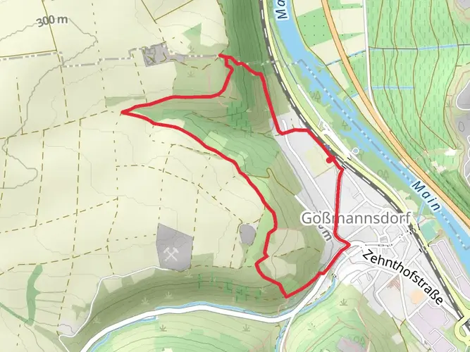
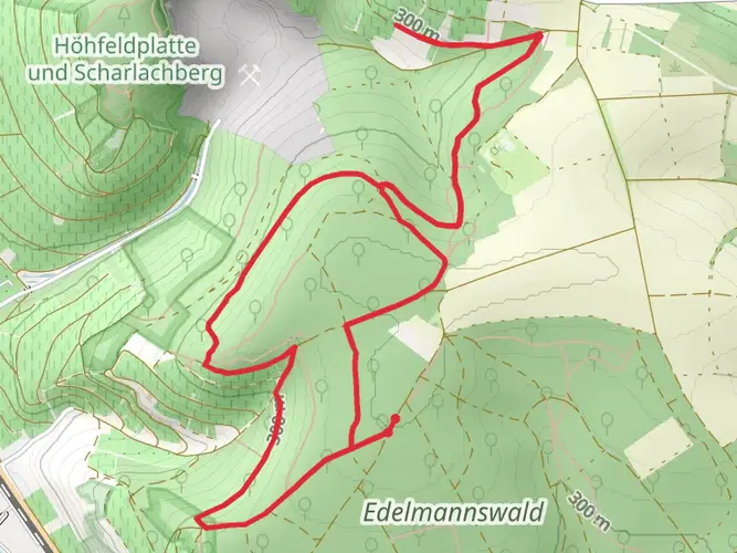
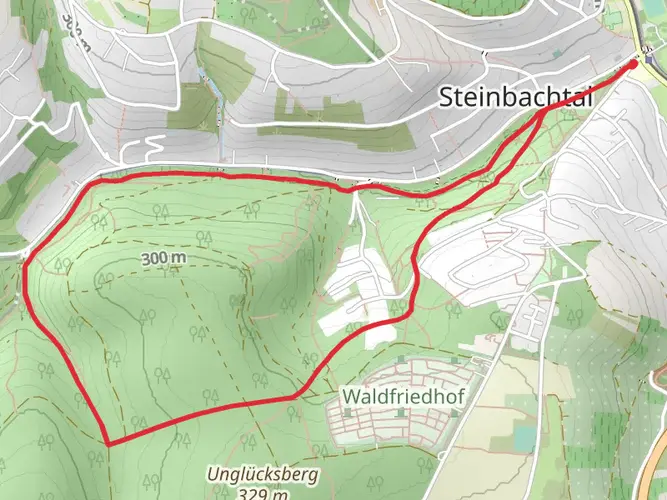
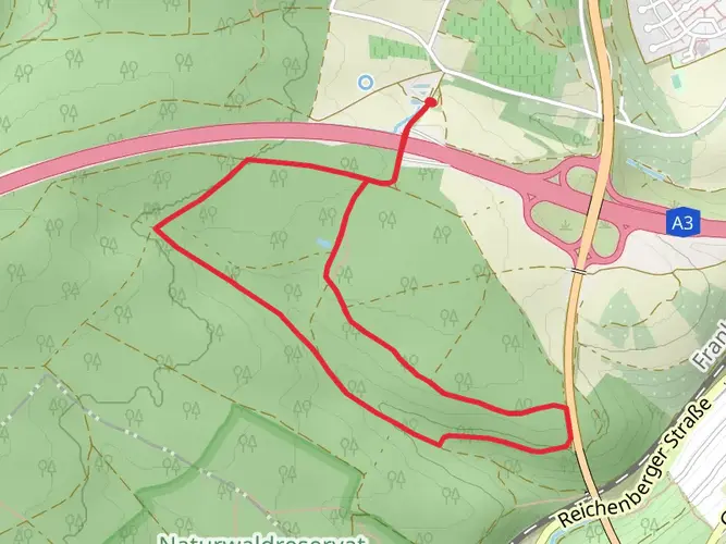
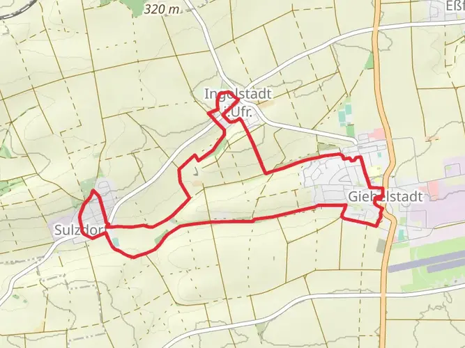
The Romantische Straße is a 480.6 km trail that starts in Würzburg, Würzburg, Germany. Based on our data, the hike is graded as Medium. For information on how we grade trails, please read measuring the difficulty of a hiking trail on hiiker. Also, check our latest community posts for trail updates. This hike can be completed in approx 18 days. Caution is advised on trail times as this depends on multiple variables. For more info read about how we calculate hike time.

Frequently asked questions
How does the Romantische Straße hiking route run from Würzburg to Füssen?
The Romantische Straße is a multi-day route of 480.56 km that runs south from Würzburg to Füssen in southern Germany. It links historic towns and rural sections across Franconia, Baden-Württemberg, and Bavaria, with well-known stops including Rothenburg ob der Tauber, Dinkelsbühl, Nördlingen, Augsburg, Landsberg am Lech, and the final approach to Füssen.
Which towns and cities does the Romantische Straße pass through on the hike?
The Romantische Straße connects many of the best-known places on Germany’s Romantic Road, starting in Würzburg and finishing in Füssen. Major places along the route include Wertheim, Bad Mergentheim, Weikersheim, Rothenburg ob der Tauber, Schillingsfürst, Feuchtwangen, Dinkelsbühl, Nördlingen, Harburg, Donauwörth, Augsburg, Friedberg, and Landsberg am Lech before the route continues toward Schwangau and Füssen.
How long does it take to hike the Romantische Straße?
Hiking the full Romantische Straße usually takes several weeks because the route is 480.56 km long. A common long-distance pace for a medium-difficulty trail is around 20 to 30 km per day, which puts the full walk at roughly 16 to 24 days, depending on daily mileage, rest days, and time spent in towns such as Rothenburg ob der Tauber or Augsburg.
What are the stages of the Romantische Straße hike?
The Romantische Straße is walked as a staged multi-day route rather than a single hike, with sections that naturally break between the major towns along the corridor from Würzburg to Füssen. Typical stage planning follows settlement-to-settlement days through places such as Bad Mergentheim, Rothenburg ob der Tauber, Dinkelsbühl, Nördlingen, Donauwörth, Augsburg, and Landsberg am Lech, making overnight stops straightforward.
Why is the Romantische Straße called the Romantische Straße?
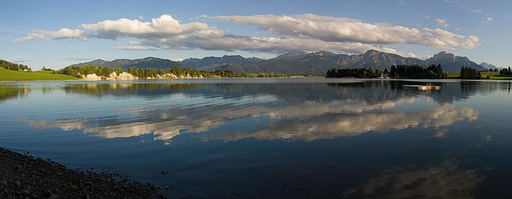
The name Romantische Straße, or Romantic Road, reflects the route’s image as a journey through historic towns, castles, and classic southern German landscapes rather than a single dramatic mountain trail. The route is known for medieval centers such as Rothenburg ob der Tauber and Dinkelsbühl, major cultural cities like Würzburg and Augsburg, and the alpine finish near Füssen and Schwangau.
Is the Romantische Straße suitable for a long-distance hike rather than driving or cycling?
Yes. The Romantische Straße works well as a long-distance hike because it is a medium-difficulty multi-day route with 5,253 m of total elevation gain spread over 480.56 km. That profile makes it more about sustained daily walking and route planning than steep technical terrain, especially compared with shorter alpine trails.
What are the best-known highlights on the Romantische Straße hike?
Some of the best-known highlights on the Romantische Straße are Würzburg at the northern end, Rothenburg ob der Tauber, Dinkelsbühl, Nördlingen, Augsburg, Landsberg am Lech, and the finish near Füssen. The southern end is especially famous for the approach toward Schwangau and the castles area near Neuschwanstein, while the central sections are known for preserved medieval town centers and city walls.
Comments and Reviews
User comments, reviews and discussions about the Romantische Straße, Germany.
4.44
average rating out of 5
9 rating(s)