Download
3D Flyover
Add to list
More
3.9 km
~1 hrs 3 min
164 m
Loop
“The Weilen unter den Rinnen Loop offers scenic views, rich biodiversity, and historical intrigue on a moderate hike.”
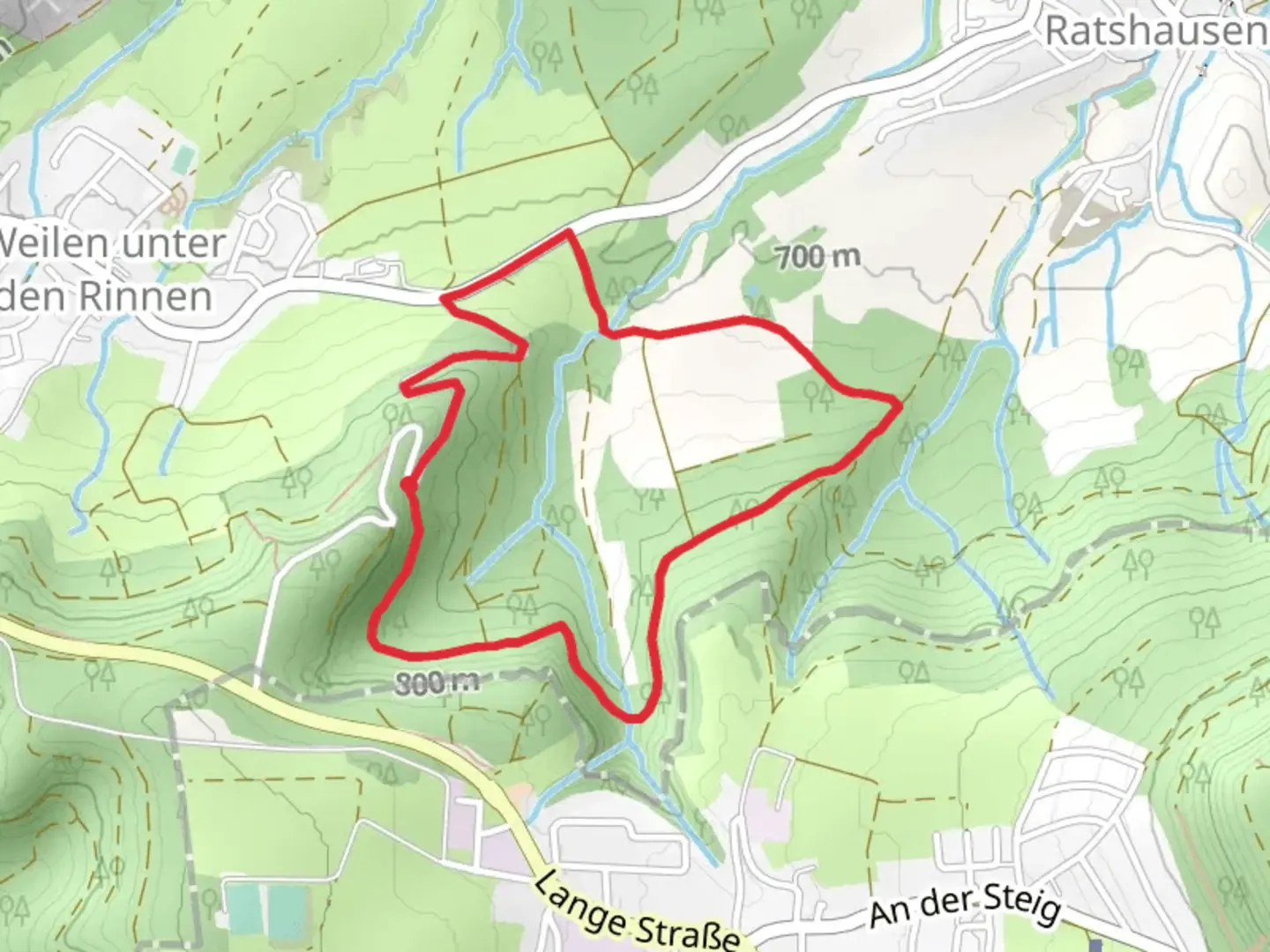
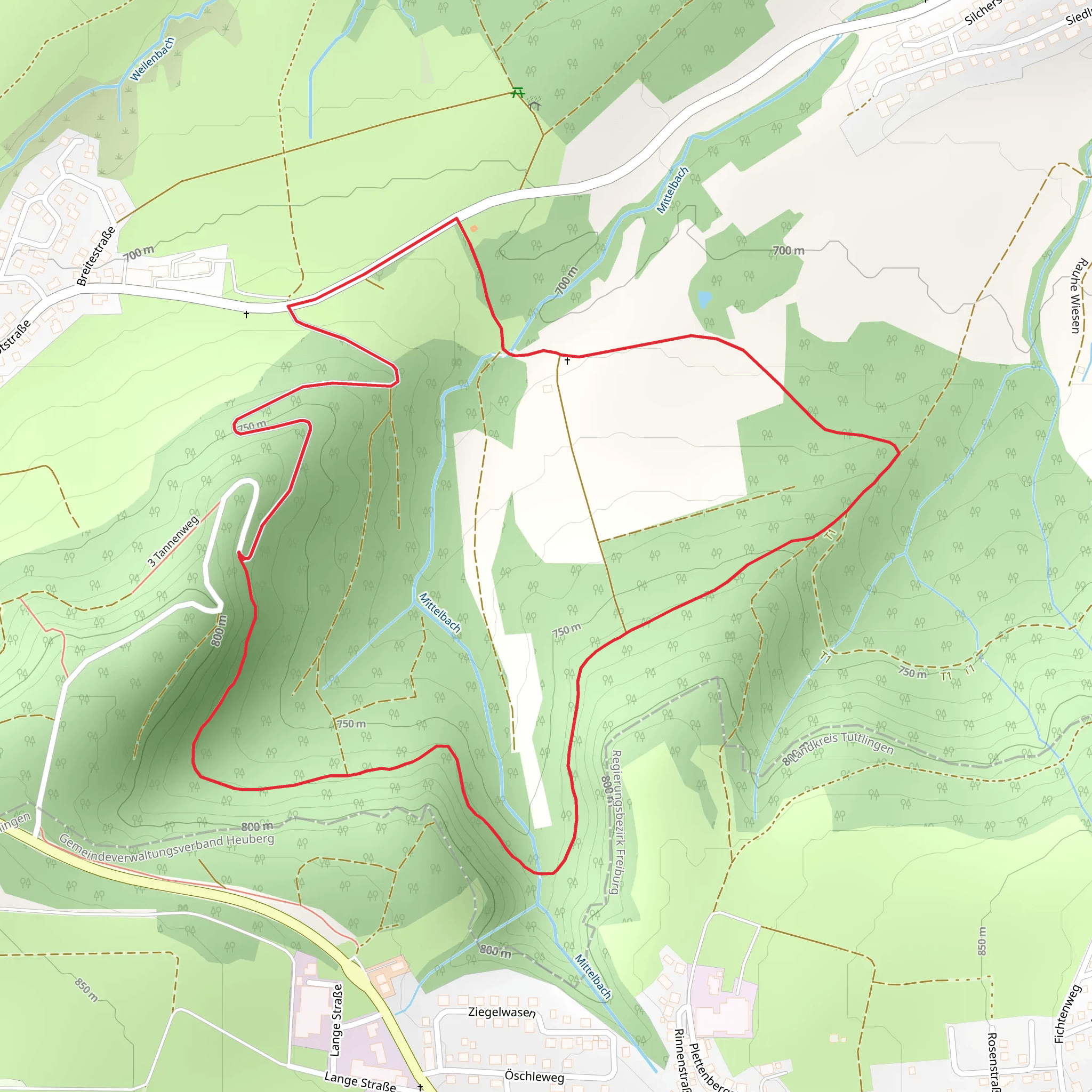
Starting near Zollernalbkreis, Germany, the Weilen unter den Rinnen Loop is a delightful 4 km (2.5 miles) trail with an elevation gain of approximately 100 meters (328 feet). This loop trail is rated as medium difficulty, making it suitable for hikers with some experience.
Getting There
To reach the trailhead, you can drive or use public transport. If driving, set your GPS to Weilen unter den Rinnen, a small village in the Zollernalbkreis district. There is ample parking available near the trailhead. For those using public transport, take a train to Balingen, the nearest major town, and then a local bus to Weilen unter den Rinnen. The bus stop is conveniently located near the start of the trail.
Trail Overview
The trail begins with a gentle ascent through a mixed forest, offering a serene start to your hike. As you progress, the path becomes steeper, leading you to the first significant viewpoint at around 1 km (0.6 miles) into the hike. Here, you can enjoy panoramic views of the Swabian Jura, a range of low mountains in Baden-Württemberg.
Flora and Fauna
The trail is rich in biodiversity. In the spring and summer months, you'll encounter a variety of wildflowers, including orchids and gentians. The forested sections are home to deer, foxes, and a plethora of bird species. Keep an eye out for the European green woodpecker, often heard before seen.
Historical Significance
At approximately 2 km (1.2 miles), you'll come across the remnants of an old Roman road. This area was historically significant as a trade route during the Roman Empire. Informational plaques provide context and historical details, making this a great spot to take a break and soak in some history.
Navigation
The trail is well-marked, but it's always a good idea to have a reliable navigation tool. HiiKER is highly recommended for this purpose, offering detailed maps and real-time GPS tracking to ensure you stay on course.
Key Landmarks
Around the 3 km (1.9 miles) mark, you'll reach a picturesque meadow, perfect for a picnic. This open space offers unobstructed views of the surrounding hills and is a great spot to relax before completing the loop.
Final Stretch
The last kilometer (0.6 miles) of the trail descends back into the forest, leading you back to the village of Weilen unter den Rinnen. This section is less steep, allowing for a leisurely end to your hike.
Practical Tips
- Wear sturdy hiking boots, as some sections can be rocky and uneven.
- Bring water and snacks, especially if you plan to picnic in the meadow.
- Check the weather forecast before heading out, as the trail can be slippery after rain.
This loop trail offers a perfect blend of natural beauty, historical intrigue, and moderate physical challenge, making it a rewarding experience for any hiker.
What to expect?
Activity types
Comments and Reviews
User comments, reviews and discussions about the Weilen unter den Rinnen Loop, Germany.
average rating out of 5
0 rating(s)
