Download
Preview
Add to list
More
64.7 km
~4 days
2354 m
Multi-Day
“Embark on the Víknaslóðir, a trek through Iceland's stark beauty and rich history, demanding preparation and respect.”
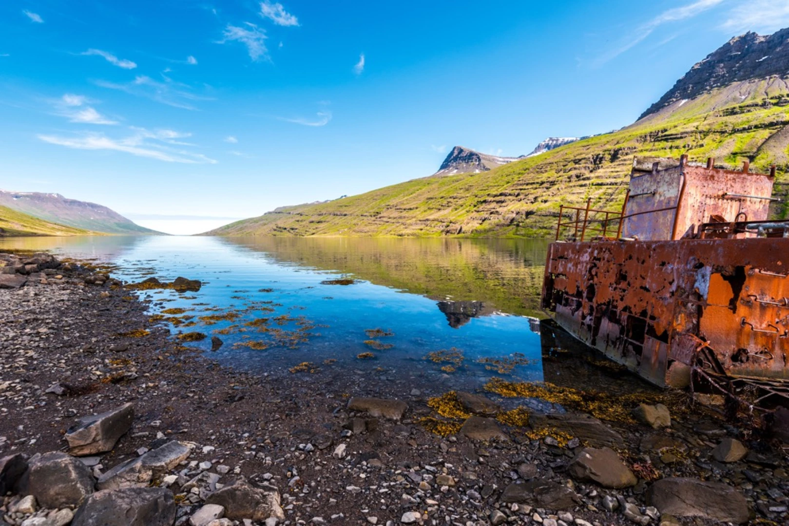
The Víknaslóðir, also known as the Trails of the Deserted Inlets, is a challenging and remote trek in the East Fjords of Iceland, starting near the quaint town of Seyðisfjörður. This approximately 65 km (40 miles) trail, with an elevation gain of around 2300 meters (7546 feet), is a point-to-point journey that takes you through a landscape rich in history and natural beauty.
Getting to the Trailhead
To reach the trailhead near Seyðisfjarðarkaupstaður, you can drive or take public transportation to Seyðisfjörður, which is accessible via the Fjarðarheiði mountain pass. From there, the trailhead is just a short distance away, and you can often find local transportation options or arrange for a drop-off to the starting point.
Navigating the Trail
As you embark on the Víknaslóðir, it's crucial to have a reliable navigation tool. HiiKER is an excellent resource for trail maps and navigation, ensuring you stay on the right path throughout your journey.
Landmarks and Natural Features
The trail will take you through a variety of landscapes, including rhyolite mountains, black sand beaches, and sharp cliffs. You'll encounter the Stórurð ("The Giant Boulders"), an impressive area of huge rocks and small ponds created by a landslide. The Dyrfjöll Mountains are another highlight, with their distinctive door-shaped gap that gives them their name, meaning "Door Mountains."
Wildlife and Flora
The East Fjords are home to a diverse array of wildlife. Keep an eye out for reindeer, Arctic foxes, and a multitude of seabirds. The flora is equally fascinating, with mosses, wildflowers, and dwarf birch providing a stark contrast to the volcanic landscape.
Historical Significance
The region is steeped in history, with ancient ruins and abandoned farms dotting the landscape, telling the story of a once-thriving community that lived in these inlets. The trail itself is a testament to the resilience of the Icelandic people, who traversed these paths for centuries, whether for fishing, sheep herding, or as a vital connection between remote communities.
Preparation and Planning
Given the trail's difficulty and remote nature, it's essential to be well-prepared. Weather conditions can change rapidly, so pack appropriate gear for cold, wet, and windy weather, regardless of the season. Ensure you have enough food and water for the entire trek, as there are no facilities along the way. It's also wise to inform someone of your travel plans and expected return time.
Safety and Etiquette
Always follow Leave No Trace principles to minimize your impact on the environment. Be prepared for river crossings, steep ascents, and possibly snow, even in summer. It's recommended to hike with a companion for safety, and always carry a first aid kit and emergency shelter.
The Víknaslóðir is a trail that offers a true Icelandic wilderness experience, combining natural wonders with a deep sense of history. With careful preparation and respect for the environment, hikers can immerse themselves in the stark beauty and solitude of this unique landscape.

Frequently asked questions
How long is The Víknaslóðir trek in East Iceland and how many days does The Víknaslóðir usually take?
The Víknaslóðir is 64.73 km long with 2,354 meters of elevation gain, so it sits firmly in the difficult multi-day category. Most full-route itineraries on the East Fjords trail network are completed in about 4 to 6 days, depending on weather, pace, and which connecting sections are chosen between Borgarfjörður Eystri and Loðmundarfjörður.
Where does The Víknaslóðir start and finish near Seyðisfjarðarkaupstaður and the East Fjords?
The Víknaslóðir is part of the East Fjords trail network rather than a single short loop, and the main hiking area is centered on Borgarfjörður Eystri and Loðmundarfjörður rather than in Seyðisfjarðarkaupstaður itself. Common through-hike sections run from Borgarfjörður Eystri into remote inlets such as Breiðavík, Húsavík, and Loðmundarfjörður.
What are the main highlights on The Víknaslóðir trail in the East Fjords?
The Víknaslóðir is known for deserted inlets, colorful rhyolite ridges, black-sand beaches, steep coastal mountains, and the historic remains of abandoned farms. Major landmarks in the wider hiking area include the Dyrfjöll mountains, Brúnavík, Breiðavík, Húsavík, and Loðmundarfjörður, with broad sea views and remote fjord scenery throughout the route.
Are there huts on The Víknaslóðir or is The Víknaslóðir only for camping?
The Víknaslóðir has mountain lodges in the trail network, including huts at Breiðavík, Húsavík, and Loðmundarfjörður. That makes it possible to plan a hut-to-hut itinerary across this remote part of East Iceland, although the route still requires solid preparation because of its length, exposure, and changing mountain weather.
Is The Víknaslóðir difficult, and what kind of terrain should hikers expect on The Víknaslóðir?
The Víknaslóðir is rated difficult, and the numbers explain why: 64.73 km of hiking and 2,354 meters of climbing across a multi-day route. Terrain on this East Fjords trek includes steep ascents and descents, exposed mountain passes, coastal paths, remote valleys, and sections where fast-changing weather can make navigation and footing more demanding.
Is The Víknaslóðir well marked, and do hikers need a map for The Víknaslóðir?
The Víknaslóðir is generally described as a well-marked network of trails in the Borgarfjörður Eystri area, but it covers a large and remote landscape with multiple route choices. A proper map and reliable navigation are still important because the trail system extends across several inlets and mountain passes rather than following one simple out-and-back line.
Comments and Reviews
User comments, reviews and discussions about the The Víknaslöoir, Iceland.
4.33
average rating out of 5
3 rating(s)