Download
3D Flyover
Add to list
More
2.6 km
~39 min
91 m
Loop
“A short but stirring hill loop, blending quiet woods, haunting mine ruins, and sweeping coastal views.”
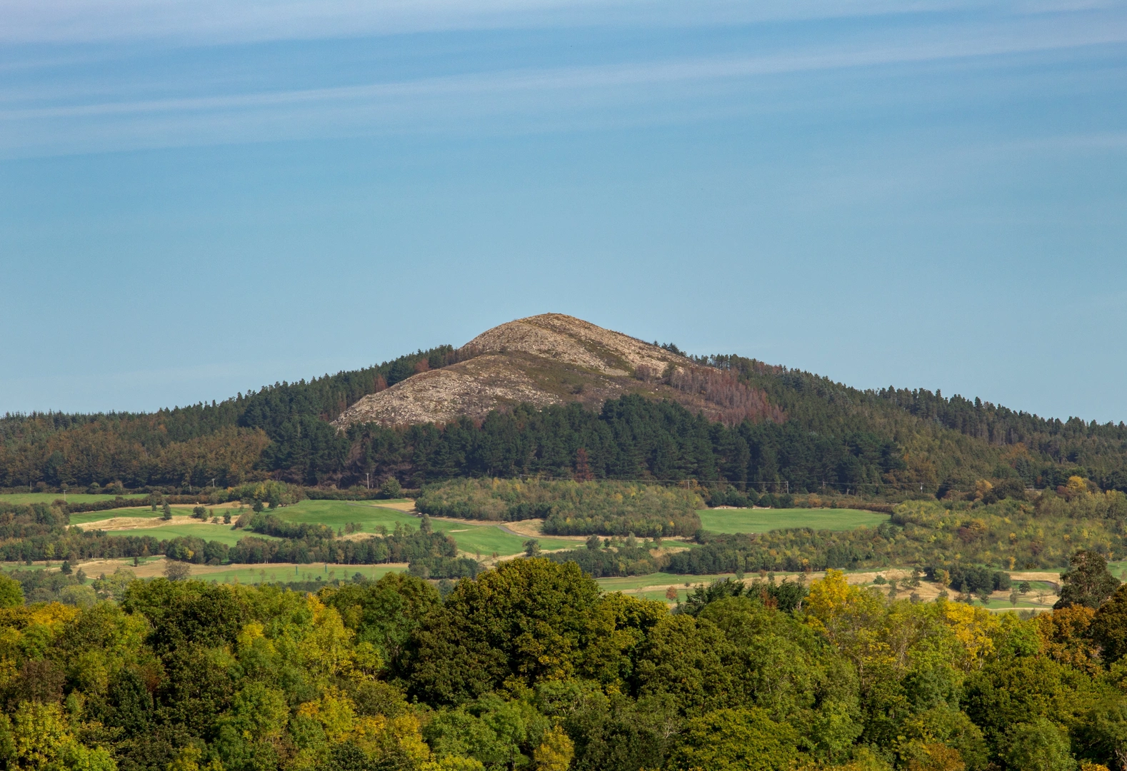
This short loop on Carrickgollogan Hill packs a surprising amount into roughly 3 km / 1.9 miles, with about 100 m / 328 ft of climbing. Although the distance is modest, the route feels more varied than the numbers suggest: forest tracks, open hillside, industrial ruins, broad coastal views, and a summit area with a distinctly rugged character. With a medium difficulty rating, it suits walkers who are comfortable with a few steeper sections and uneven ground but do not want a long mountain day. The hill itself rises to about 276 m / 906 ft, and even on a brief circuit the elevation change is enough to make the climb noticeable. (en.wikipedia.org)
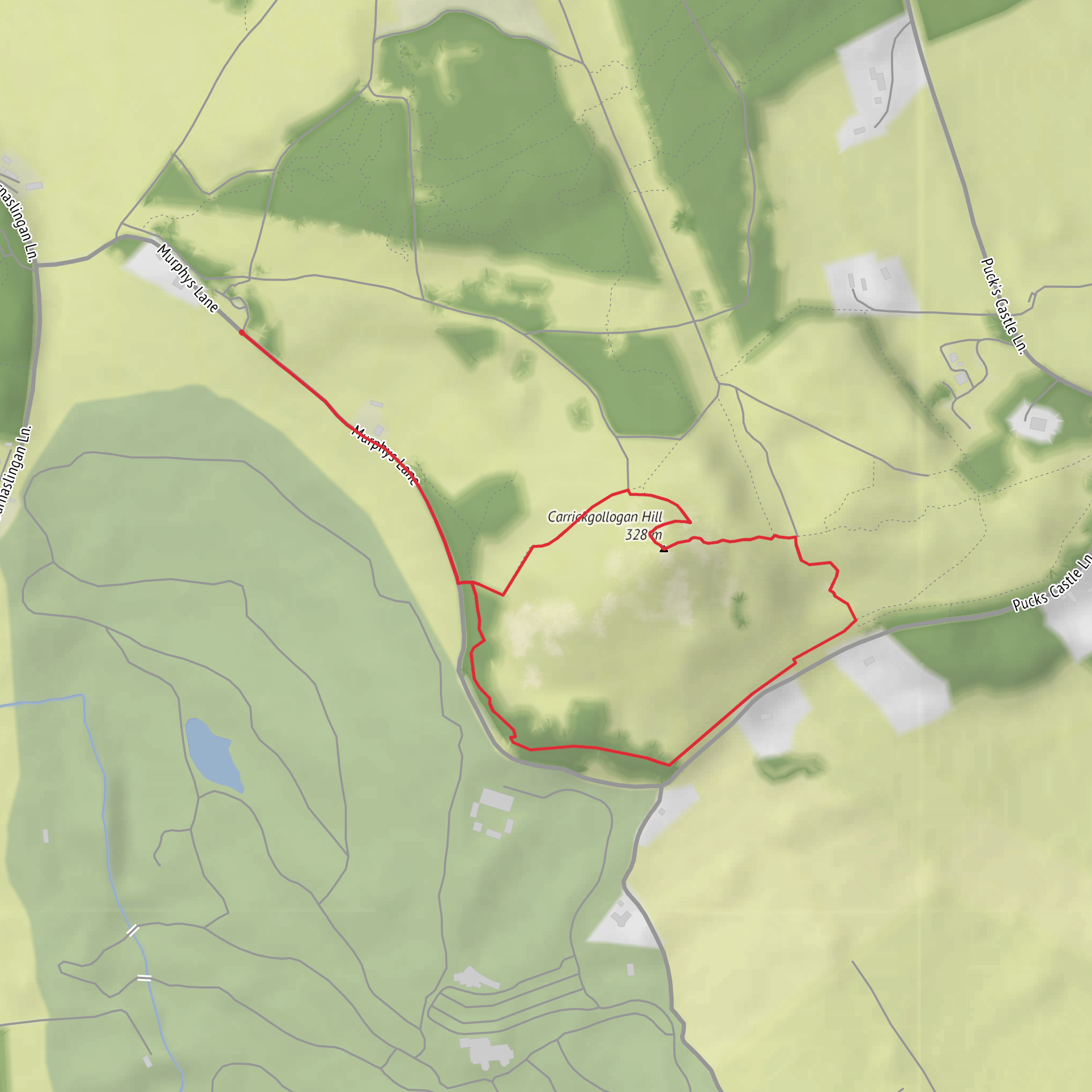
The usual access point is the Carrickgollogan Forest car park off Barnaslingan Lane, between Kilternan and Enniskerry. Coillte describes the approach by car as leaving the R117, taking Barnaslingan Lane uphill, and finding the car park about 300 m on the left. If you are navigating to a recognizable nearby landmark rather than a coordinate, Barnaslingan Lane, Kilternan, Dublin 18, near the Carrickgollogan Forest entrance, is the most practical target. Another significant nearby landmark is the Ballycorus Lead Mines complex at Mine Hill, Ballycorus, Kilternan, Dublin 18, which sits below the hill and helps orient the area historically and geographically. (coillte.ie)
For public transport, the area is easier to reach from the Dublin side than from deep in the Wicklow Mountains, but it still usually involves a short road walk or a taxi for the final stretch unless you are combining the outing with a longer approach on foot. Kilternan is the nearest obvious village reference point, and Shankill is another common access side for the wider Dublin Mountains Way corridor. If driving, the dedicated forest car park is the simplest option; if using transit, plan the last section carefully in HiiKER and expect some roadside walking before reaching the trailhead. (en.wikipedia.org)
What the route is like
From the forest entrance, the loop typically begins on broad woodland tracks that make for an easy warm-up. The first part is usually the gentlest underfoot, with compact gravel or forest road surfaces and a steady rather than abrupt climb. This section passes through mixed woodland, and the tree cover can make the route feel sheltered in windy weather. Carrickgollogan Wood covers about 85 hectares / 210 acres and includes lodgepole pine, noble fir, Japanese larch, Lawson cypress, Scots pine, birch, and beech, so the character shifts as you move through different stands. (en.wikipedia.org)
As the route gains height, the woodland begins to break and the hill’s best-known landmark comes into view: the granite chimney associated with the former Ballycorus lead mines. This is the feature most walkers remember. The structure stands near the upper slopes and is notable for its external spiral staircase, though the upper third has been removed for safety. The approach to this point is one of the most interesting parts of the walk, because the landscape changes from ordinary forest trail to something much more atmospheric, with old industrial remains embedded in the hillside. (en.wikipedia.org)
From the chimney area, many walkers continue toward the summit detour. The Dublin Mountains Way itself passes close to Carrickgollogan rather than directly over the top, but the summit can be reached by a short waymarked spur known as the Lead Mines Way. Expect the ground here to feel rougher and more open than the lower forest tracks, with patches of rock, gorse, and narrower paths. On a damp day, this upper section can be slippery in places, especially where exposed stone or worn earth has been polished by foot traffic. (en.wikipedia.org)
The descent usually returns you to wider tracks, allowing for a fairly straightforward finish. Because the route is short, it is often walked at a relaxed pace, but the hill should not be underestimated in wet or windy conditions. The exposed upper slopes can feel much harsher than the sheltered woods below, and low cloud can reduce the sense of direction around junctions if you are moving quickly without checking HiiKER. (coillte.ie
Surfaces
Unknown
Asphalt
Dirt
Comments and Reviews
User comments, reviews and discussions about the Carrickgollogan Hill Loop, Ireland.
average rating out of 5
0 rating(s)
