Loch na Craoibhe Lough Nacreeva, Loch Barr an Ghoibin and Loch Bharr an tSruthain
Download
3D Flyover
Add to list
More
6.7 km
~1 hrs 22 min
27 m
Point-to-Point
“A gentle Mayo loop threads through shimmering loughs, wild bogland, and echoes of railway and Mass Rock history.”
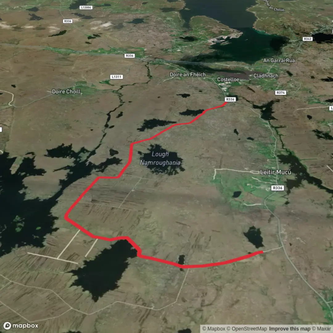
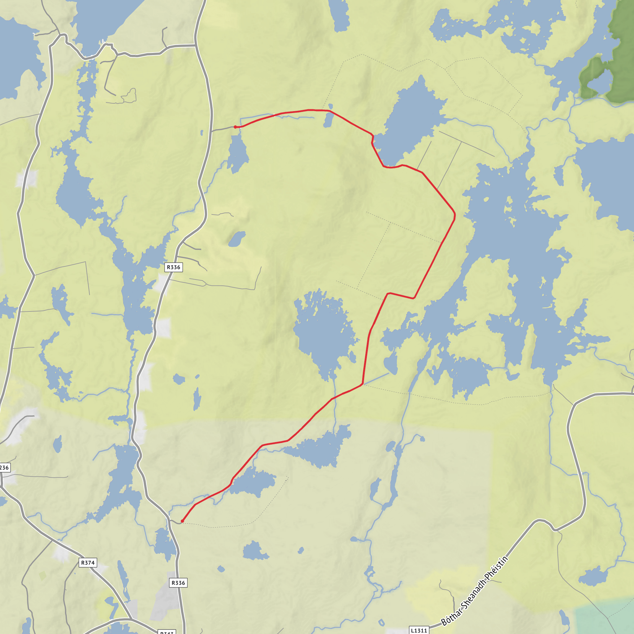
This roughly 7 km (4.3 mile) loop in west Mayo is a gentle lakeside-and-bogland walk with only modest climbing overall, despite a few slight rises on the road and track sections. The route is best understood as one of the Derrada/Lettermaghera loop walks near Newport, starting at Derrada Community Centre, Derrada, near Newport, County Mayo—about 3.5 to 5 km (2.2 to 3.1 miles) west of Newport off the N59 Newport–Mulranny road. Official trail listings place the start at 53.90383, -9.58608, which corresponds to the community centre in Derrada. (mayotrails.com)
The landscape is defined by a scatter of small loughs, open blanket bog, quiet minor roads, and broad views toward the surrounding hills and Clew Bay. The named waters in your route title—Loch na Craoibhe (Lough Nacreeva), Loch Barr an Ghóibín, and Loch Bharr an tSrutháin—sit within this lake-dotted terrain, and the Irish and English forms of these placenames are recorded in official placename sources. (irishstatutebook.ie)
What to expect on the route
From the community centre, the walk heads out on quiet local lanes before moving into bog-road and rougher track sections. Expect a mix of tarmac minor road, green lane, and bog track, with some stretches that can be wet, soft, or stony underfoot, especially after rain. Although your supplied details estimate no elevation gain, the mapped Derrada/Lettermaghera loop is generally described elsewhere as having some gentle undulation, with total ascent commonly listed around 100 m (328 ft), so it is wise to treat it as an easy walk with a few mild rises rather than a completely flat outing. (discoverireland.ie)
In the opening section, the route passes through a quiet rural setting where the bog and lake scenery begins almost immediately. Around 1 km (0.6 mile) in, older route descriptions note a crossing of the Great Western Greenway, the long off-road route built along the former railway corridor between Newport and Mulranny. This is a useful orientation point if you are tracking progress on HiiKER. (mayonews.ie)
As the loop develops, the scenery becomes more open and more characteristic of inland coastal Mayo: peatland, low rocky ground, reeds and rushes around the lough margins, and long views toward the Bengorm Mountains/Nephin Beg backdrop. The route is often praised for its “maze” of lakes, and that is exactly the feel on the ground—small water bodies appearing and disappearing beside the road and track, with constantly changing reflections if the weather is calm. (discoverireland.ie)
Landmarks, wildlife, and route character
One of the standout landmarks is Salmon Leap Bridge, where Furnace Lough and Lough Feeagh meet. This is one of the most memorable points on the walk, both for the water views and for the chance of seeing fish movement in season. Official trail descriptions specifically mention salmon here, and the nearby Furnace Lough area is also noted for marine research significance. (discoverireland.ie)
The route also passes an old Mass Rock, an important reminder of Penal-era worship in rural Ireland, when Catholic services were often held outdoors in secluded places. In a landscape like this—broken by bog, rock, and small hills—the survival of a Mass Rock is a strong historical marker of how communities adapted to religious restrictions in earlier centuries. (discoverireland.ie)
Another historical feature is the **dismantled Westport–Achill railway line
Comments and Reviews
User comments, reviews and discussions about the Loch na Craoibhe Lough Nacreeva, Loch Barr an Ghoibin and Loch Bharr an tSruthain, Ireland.
average rating out of 5
0 rating(s)
