Download
3D Flyover
Add to list
More
189.7 km
~8 days
3991 m
Multi-Day
“Traverse the enchanting Kerry Way to discover Ireland's heart through its majestic landscapes and rich history.”
The Kerry Way carves a scenic journey through Ireland's mystical Iveragh Peninsula, offering hikers a chance to immerse themselves in the rugged beauty of County Kerry. Spanning approximately 190 kilometers (about 118 miles) with an elevation gain of roughly 3900 meters (nearly 12,800 feet), this loop trail encapsulates the essence of the Emerald Isle's landscapes.
Getting to the Trailhead
The traditional starting point for the Kerry Way is in the town of Killarney, a hub of activity and a gateway to the region's natural wonders. For those arriving by public transport, Killarney is well-served by trains and buses from major Irish cities like Dublin and Cork. If you're driving, you'll find ample parking in the town, allowing you to begin your trek with ease.
Navigating the Trail
As you embark on the Kerry Way, the well-marked path will guide you through a variety of terrains, from serene lakeshores to mountain passes. Hikers can rely on HiiKER to navigate the trail, ensuring they stay on the right path and can plan their journey with confidence.
Landmarks and Scenery
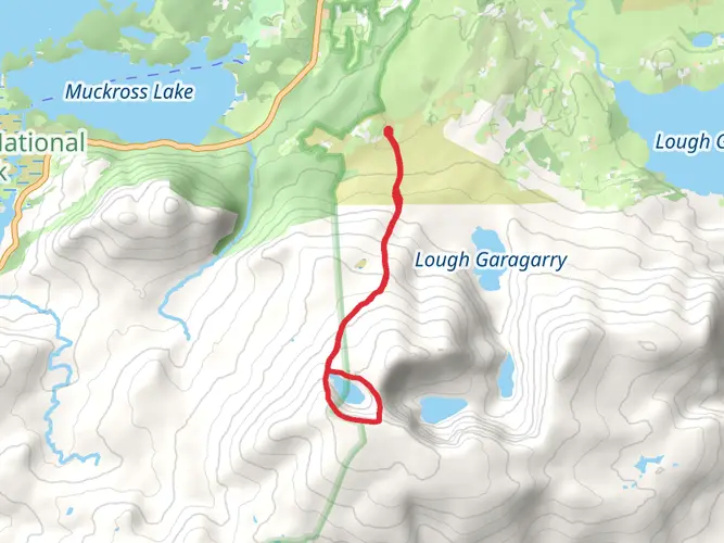
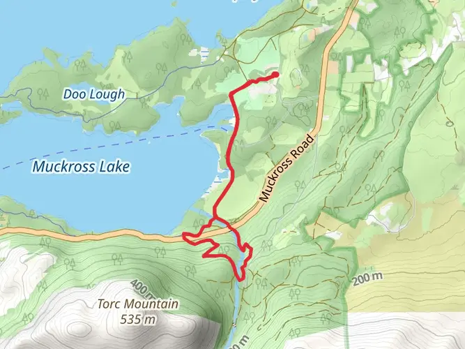
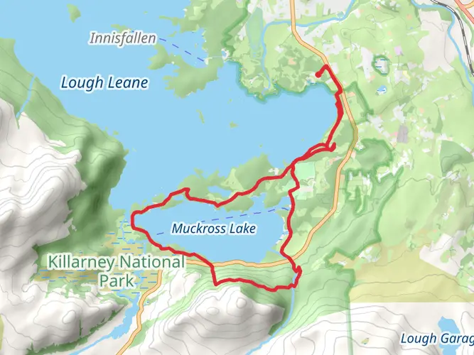
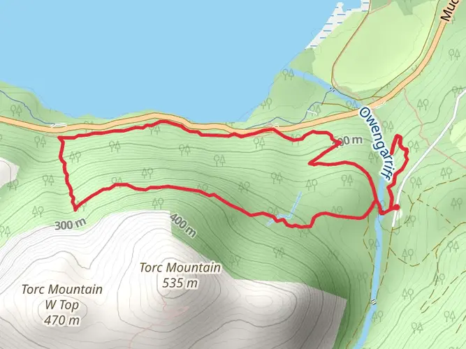
The trail offers a tapestry of landscapes, starting with the lush Killarney National Park, where the famous Lakes of Killarney and the towering MacGillycuddy's Reeks create a dramatic backdrop. You'll pass by Torc Waterfall, a cascade that tumbles down the mountainside, and Muckross House, a 19th-century mansion steeped in history.
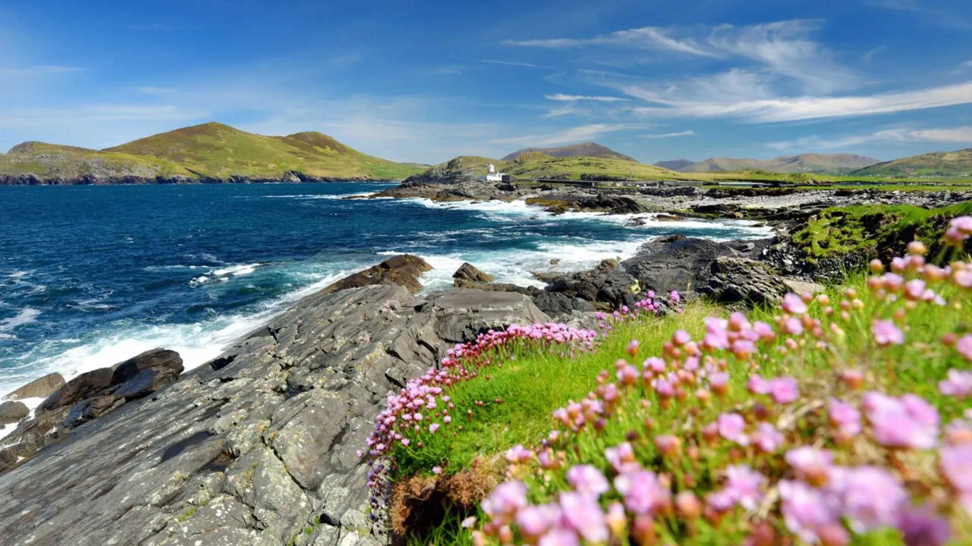
As you continue, the trail meanders through quaint villages like Glenbeigh and Cahersiveen, where the local charm is as palpable as the fresh sea air. The route takes you along the windswept cliffs of the Atlantic coast, providing breathtaking views of the ocean and the chance to spot seabirds soaring above.
Wildlife and Nature
The Kerry Way is a haven for wildlife enthusiasts. Red deer, foxes, and badgers are common sights, while the diverse birdlife includes species such as the chough and peregrine falcon. The trail also traverses through areas of heath and bogland, showcasing the unique flora of the region, including various mosses, heathers, and the iconic Irish wildflower, the fuchsia.
Historical Significance
The Iveragh Peninsula is rich in history, with ancient ring forts and standing stones dotting the landscape. The Kerry Way takes you close to the historic Staigue Fort, an impressive Iron Age structure, and the Loher Stone Fort, offering a glimpse into Ireland's Celtic past.
Preparation and Planning
Given the trail's medium difficulty rating, hikers should prepare for variable weather conditions and some challenging sections, particularly the mountain passes. It's advisable to pack rain gear, sturdy hiking boots, and enough provisions for the journey. The trail can be completed in 9 to 11 days, but many choose to tackle it in sections, taking the time to explore and rest in the welcoming towns along the route.
Conclusion
The Kerry Way is more than just a hiking trail; it's an exploration of Ireland's soul, weaving through landscapes that have inspired poets and artists for centuries. With its combination of natural beauty, wildlife, and historical intrigue, this trail offers an unforgettable experience for those who walk its path.

What to expect?
Activity types
Frequently asked questions
How long does it take to walk the Kerry Way?
The Kerry Way is 189.66 km long, so most hikers treat it as a multi-day route rather than a single outing. A common schedule is around 8 to 11 walking days, depending on daily mileage, weather, and whether extra time is built in for places like Killarney, Glenbeigh, Waterville, Sneem, or Kenmare.
Is the Kerry Way difficult or suitable for beginners?
The Kerry Way is rated Extra Difficult, with 3,991 m of total ascent over 189.66 km, so it is not usually considered a beginner long-distance walk. The route includes long days, mountain and moorland terrain, and sections that can be wet or boggy, especially on exposed stages such as the Mountain Stage between Glenbeigh and Cahersiveen.
Where does the Kerry Way walking route start and finish?
The Kerry Way is a loop in County Kerry that traditionally starts and finishes in Killarney. From there it circles the Iveragh Peninsula through places including Black Valley, Glenbeigh, Cahersiveen, Waterville, Sneem, and Kenmare before returning to Killarney.
Is the Kerry Way the same as the Ring of Kerry?
No. The Kerry Way is a long-distance walking trail, while the Ring of Kerry is the well-known driving route on the N70 and N71 roads around the peninsula. The two overlap in places, but the Kerry Way often leaves the road to use old coach roads, mountain tracks, forest paths, and quieter inland sections.
What are the main stages of the Kerry Way?
The Kerry Way is commonly broken into stages between major overnight stops such as Killarney, Black Valley, Glenbeigh, Cahersiveen, Waterville, Caherdaniel, Sneem, Kenmare, and back to Killarney. There are also route variations and linking sections, including the spur into Cahersiveen, so stage lengths can vary depending on where each day starts and ends.
Does the Kerry Way go through Kenmare?
Yes. Kenmare is one of the main towns on the Kerry Way loop and a common overnight stop late in the route. The trail reaches Kenmare after the Sneem and Templenoe side of the peninsula, then continues northeast toward Killarney to complete the circuit.
Can the Kerry Way be reached by public transport from Killarney?
Yes. Killarney is the usual trailhead and is served by both rail and bus connections, making it the easiest access point for the Kerry Way without a car. Because the route is circular, many hikers begin in Killarney and return there at the end rather than arranging a point-to-point transfer.
Comments and Reviews
User comments, reviews and discussions about the Kerry Way, Ireland.
4.92
average rating out of 5
87 rating(s)