Download
3D Flyover
Add to list
More
7.2 km
~1 hrs 51 min
244 m
Loop
“A compact Cooley ramble, rising from whispering forest to windswept slopes and shining bay views.”
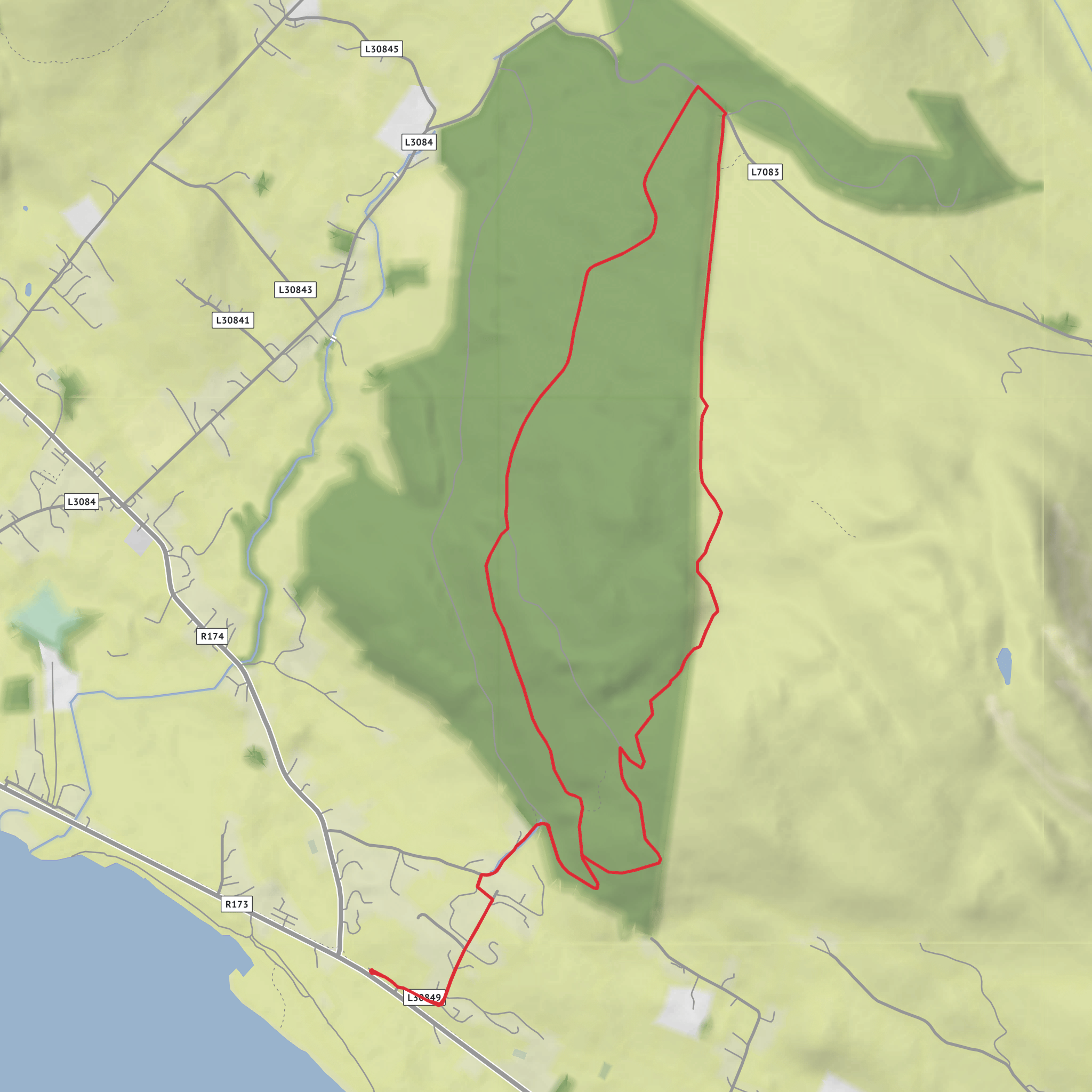
This medium-grade loop on the Cooley Peninsula gives a compact mountain outing with a good mix of forest road, open hillside, and broad coastal views. Although you listed it as around 7 km with about 200 metres of climbing, the official trail listing puts it at roughly 5.9 km / 3.7 miles with about 250 metres / 820 feet of ascent, so it is best planned as a short but fairly steady half-day walk rather than a long mountain day. The route starts and finishes at Fitzpatrick’s Pub/Restaurant near Jenkinstown, in the Rockmarshall area of County Louth, with the mapped start point at approximately 54.007164, -6.289358. The nearest practical landmark and address given for the trailhead is Fitzpatrick’s Pub/Restaurant, Rockmarshall, Jenkinstown, Co. Louth, Ireland. (sportireland.ie)
The walk begins gently enough, leaving the trailhead and using a short stretch of minor road and laneway before entering forestry. From there, the route climbs on a forest roadway to a three-way junction where the main loop begins. The ascent is not especially technical, but it is sustained enough to justify the medium rating, especially for hikers who are not used to continuous uphill walking. Expect a total outing of around 2 hours 45 minutes at a moderate pace, with extra time worth allowing for stops at viewpoints or in wet conditions. Waymarking is by purple arrows on a white background. (sportireland.ie)
What the route feels like
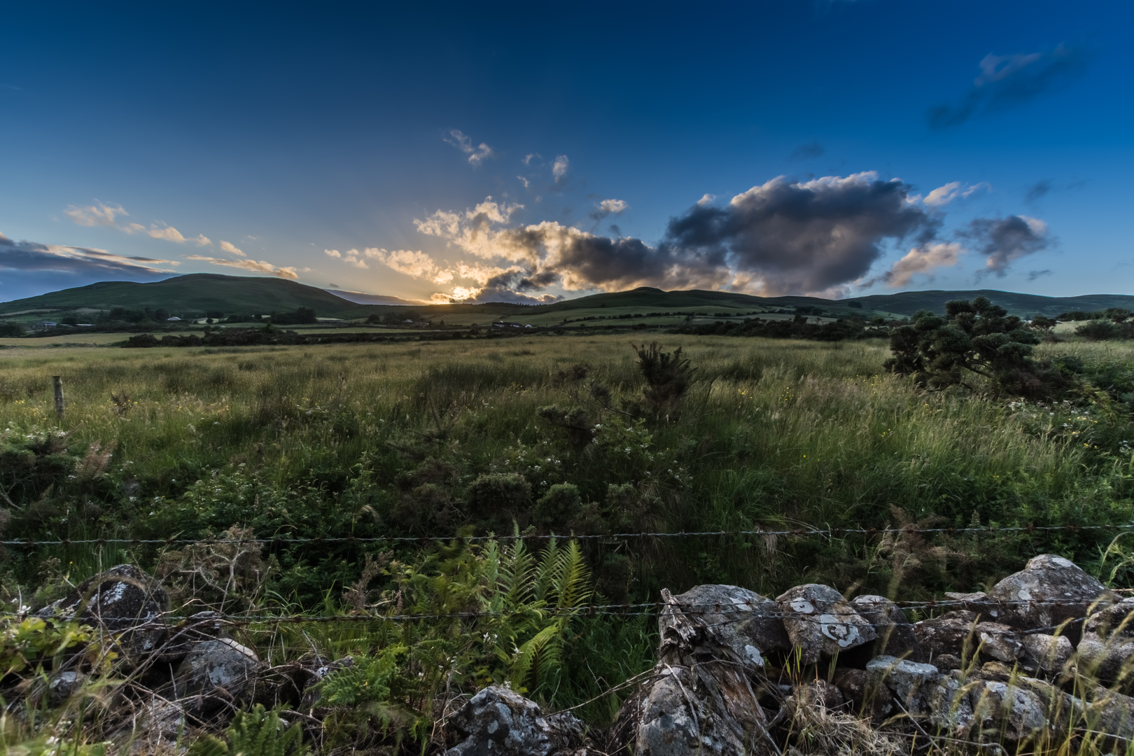
The first half has a sheltered character, with the forestry taking the edge off wind and giving the climb a more enclosed feel. As the route gains height, clearings begin to open up and the landscape starts to widen. Once you leave the forest edge and cross the shoulder of Annaloughan Mountain, the walk changes character noticeably: this is the most exposed and scenic part of the loop, where the terrain feels more open and the views become the main reward. Official descriptions and trail reviews highlight uninterrupted views over Dundalk Bay on the descent, with wider outlooks toward North Louth, South Armagh, and County Down in clear weather. (sportireland.ie)
That open shoulder section is also the part to treat with the most respect. Reviews on the official trail page note that the mountain-edge path can become boggy after sustained wet weather. It is generally still passable, but waterproof footwear with decent grip is a smart choice, and gaiters can be useful after rain. Because the route crosses exposed ground for a short section, wind, mist, and low cloud can make it feel more serious than the distance suggests. If visibility drops, following the waymarks carefully and checking progress on HiiKER is the safest approach. (sportireland.ie)
Landmarks, scenery, and wildlife
The standout natural landmark is the shoulder of Annaloughan Mountain itself. Annaloughan Mountain is around 265 metres / 869 feet high, so this is not a high summit day, but the modest elevation is enough to create excellent views over the surrounding peninsula and coast. The contrast between Scots pine and deciduous woodland below and open mountain ground above gives the route more variety than its short mileage might suggest. (mapcarta.com)
Wildlife is typical of upland and woodland habitats in this part of County Louth. In the forested sections, hikers should watch for small woodland birds and listen for activity in the canopy, while the open ground can attract raptors and other birds using the rising air over the slopes. The route also passes through a landscape where grazing land, scrub, and forestry meet, so it is worth being alert for livestock near access points and for muddy or churned ground after wet spells. The official guidance also notes that dogs are allowed only if kept on a lead, which reflects the mixed-use nature of the area and the need to respect wildlife and farm animals. (sportireland.ie)
Historical setting
This walk sits within the Cooley Peninsula, one of the most storied landscapes in Ireland’s Ancient East. Even on a relatively short loop, you are moving through a region layered with myth, early settlement, and rural land use that long predates the modern trail. The official tourism listing places the route within Ireland’s Ancient East, and the nearby Rockmarshall area is associated with older settlement patterns on the slopes above Dundalk Bay. (discoverireland.ie)
One particularly notable historic site nearby is Rockmarshall Court Tomb, located on the southern slopes of Annaloughan Mountain. Court tombs are Neolithic monuments, and their presence shows that these hills
Surfaces
Unknown
Ground
Unpaved
Asphalt
Paved
Comments and Reviews
User comments, reviews and discussions about the Annaloughan Mountain Loop, Ireland.
average rating out of 5
0 rating(s)
