Download
Preview
Add to list
More
50.0 km
~3 days
83 m
Multi-Day
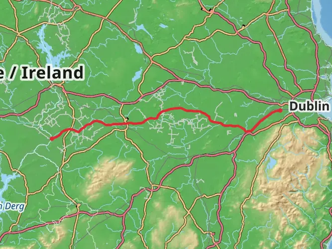
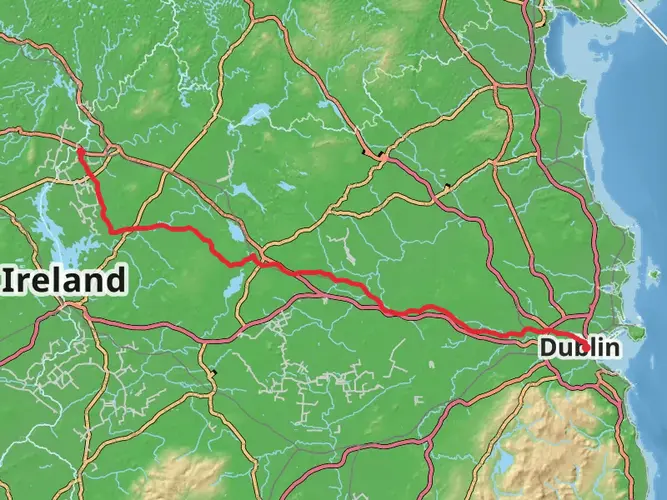
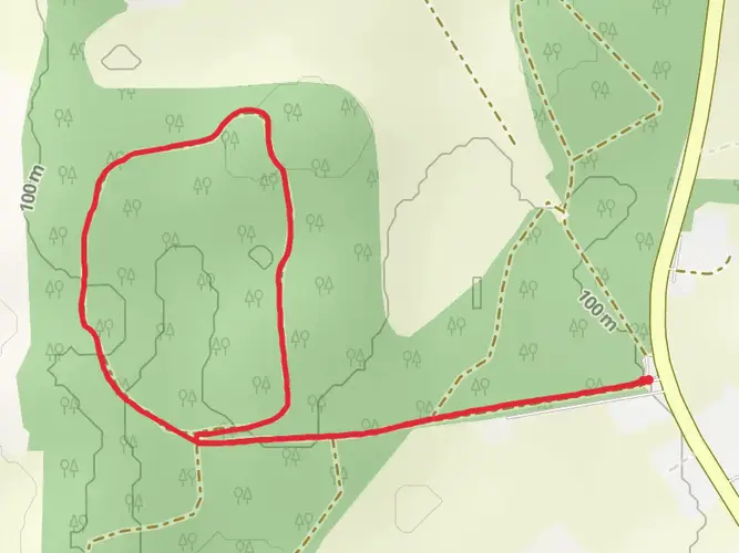
The Royal Canal Greenway - Westmeath is a 50.0 km trail that starts in , County Meath, Ireland. Based on our data, the hike is graded as Easy. For information on how we grade trails, please read measuring the difficulty of a hiking trail on hiiker. Also, check our latest community posts for trail updates. This hike can be completed in approx 2 days. Caution is advised on trail times as this depends on multiple variables. For more info read about how we calculate hike time.

What to expect?
Activity types
Frequently asked questions
What is the route for the Royal Canal Greenway - Westmeath?
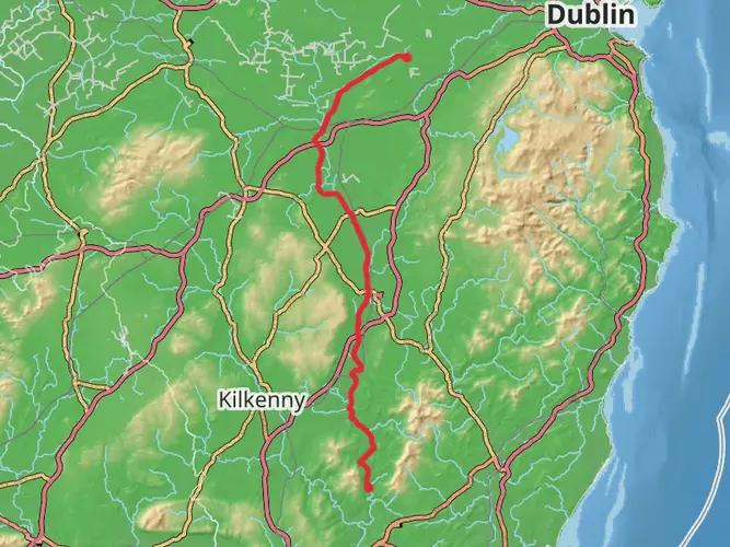
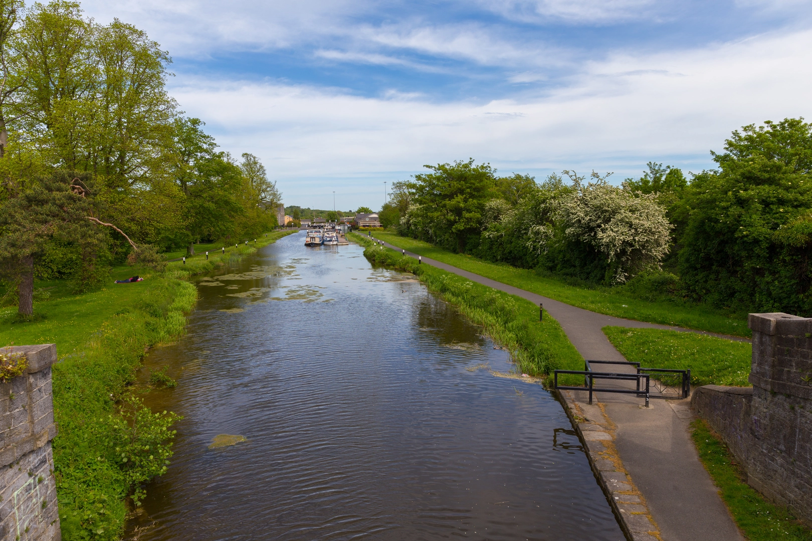
The Royal Canal Greenway - Westmeath is a 49.97 km easy multi-day route in County Meath with just 83 m of climbing. It follows the Royal Canal corridor on a flat, off-road greenway section linked with places including Mullingar and the Westmeath-Meath county boundary, making it one of the gentler long-distance outings on the canal.
How long does it take to complete the Royal Canal Greenway - Westmeath?
The Royal Canal Greenway - Westmeath covers 49.97 km, so most walkers split it over two days, while stronger cyclists can cover it in a single outing. With only 83 m of elevation gain and an easy rating, the route is more about distance than steep climbing.
Is the Royal Canal Greenway - Westmeath easy enough for beginners?
Yes. The Royal Canal Greenway - Westmeath is graded Easy and has only 83 m of ascent over 49.97 km, so the terrain is broadly flat. That makes it suitable for beginners building up distance, although the full route length still makes it a substantial day or overnight trip.
Where can you park for the Royal Canal Greenway - Westmeath?
Parking and access points are available at several points along the Westmeath section of the Royal Canal, including D’Arcy’s Bridge at Hyde Park, Thomastown Bridge, Riverstown Bridge near Killucan Station, The Downs Bridge, Harbour Bridge in Mullingar, and Coolnahay Harbour. Westmeath County Council also notes that some listed access points have parking facilities and amenities.
Does the Royal Canal Greenway - Westmeath go through Mullingar?
Yes. Mullingar is one of the main hubs on the Royal Canal Greenway - Westmeath, with access points at Dublin Bridge, Harbour Bridge, Green Bridge on Dominick Street, Kilpatrick Bridge, and Belmount Bridge. The canal’s summit level is also at Mullingar, and the Royal Canal is fed there by Lough Owel.
Can the Royal Canal Greenway - Westmeath be linked with Longford?
Yes. The wider Royal Canal Greenway continues northwest from Westmeath into County Longford, where the Longford section runs about 16.5 km from Longford Town through Killashee to Richmond Harbour, Clondra. That makes the Westmeath route a practical link in the longer Maynooth-to-Longford greenway corridor.
Are dogs allowed on the Royal Canal Greenway - Westmeath?
Dogs are allowed on the Royal Canal Greenway - Westmeath, but they should be kept on a short lead. Local guidance for the Westmeath greenway also asks owners to clean up after dogs, and extra care is sensible near canal edges and steeper embankments.
Comments and Reviews
User comments, reviews and discussions about the Royal Canal Greenway - Westmeath, Ireland.
4.56
average rating out of 5
16 rating(s)