Download
3D Flyover
Add to list
More
5.9 km
~1 hrs 22 min
123 m
Out and Back
“Bray’s Dargle walk threads park, boardwalk, and riverbank into a lively, weather-bright half-day ramble.”
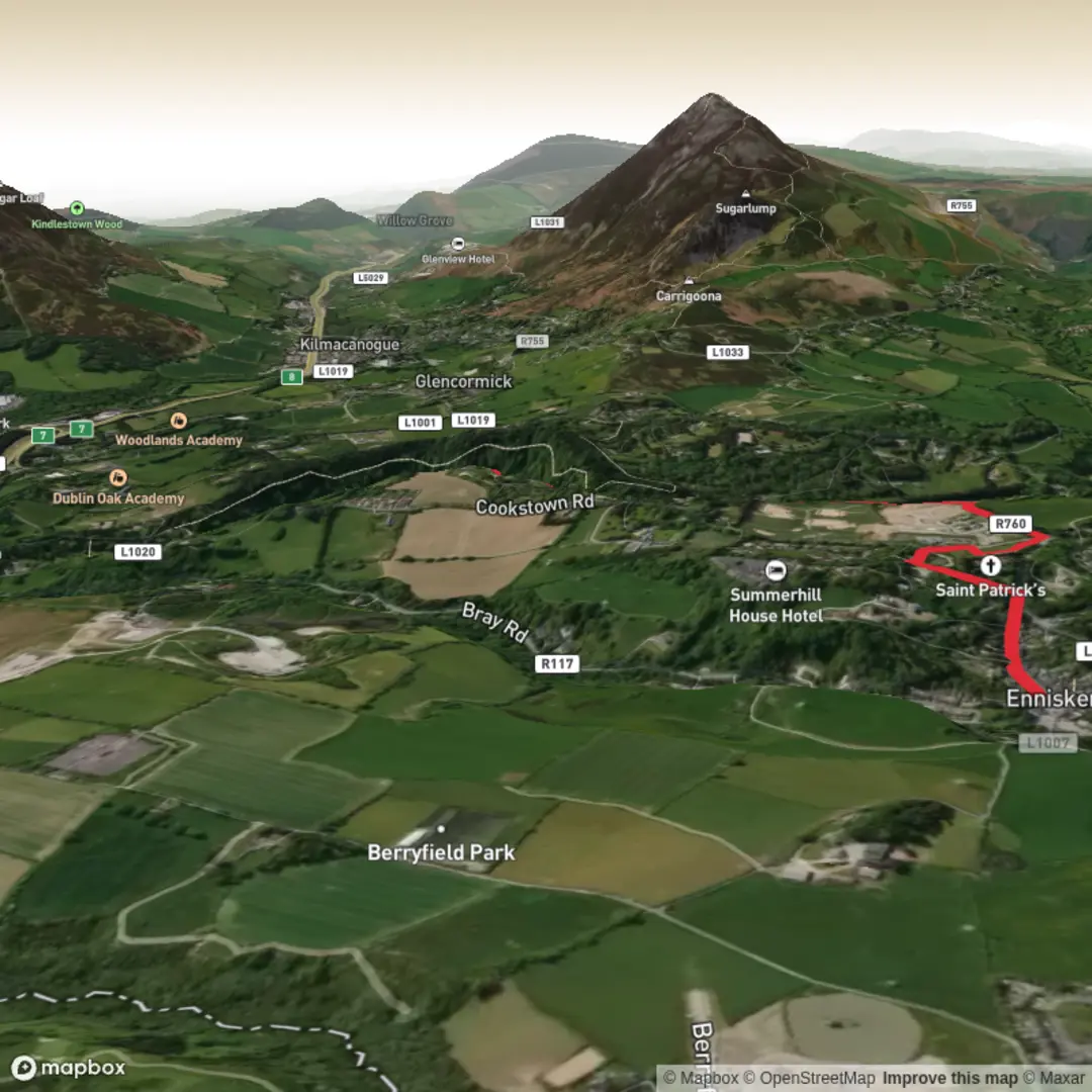
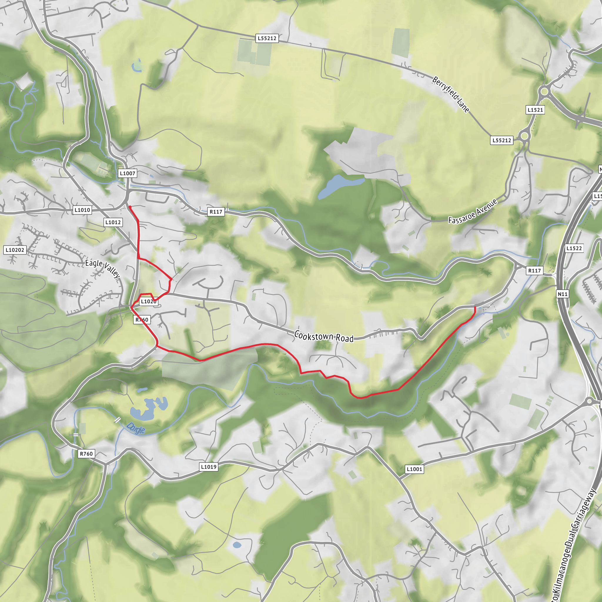
This roughly 6 km (3.7 mile) walk follows the River Dargle through Bray, County Wicklow, on a route that feels more varied than the numbers suggest. With only about 100 m (328 ft) of total ascent, it is not a mountain hike, but the steady undulations, riverside paths, and urban-edge transitions make it a solid medium outing, especially in wet or windy weather. Expect a mix of paved walkways, parkland, riverbank sections, and short road links rather than a remote hill trail. The character of the walk comes from the river itself: broad in places, tighter and more enclosed in others, with mature trees, bridges, and a strong sense of Bray’s relationship with the Dargle. The river corridor has also been reshaped in recent years by major flood-defence works that added new walkways, landscaping, and a boardwalk connection around People’s Park and Lower Dargle Road. (bray.ie)
The most practical trailhead landmark is People’s Park, Bray, County Wicklow, close to Fran O’Toole Bridge and the Lower Dargle Road / Ravenswell Road area, which is one of the best-known access points to the riverside walk network. If you are arriving by rail, Bray (Daly) Station is the key public transport gateway, and the riverside area is within walking distance from the station through town. Bray is well connected by rail from Dublin, and the town also has broad bus access according to local visitor transport guidance. (irishrail.ie)
If driving, Bray is reached easily from the N11/M11 corridor, with town-centre parking and local parking options around Bray’s central streets and public amenities. Because this is a town-and-river walk rather than a remote upland start, it is worth arriving early on weekends when Bray can be busy with seafront visitors and local walkers. The route is suitable for hikers who want a shorter day with easy logistics, and it also works well as a half-day outing combined with time in Bray. (bray.ie)
What the route feels like
From the riverside near People’s Park, the walking is generally straightforward and easy to follow, with the river acting as a natural handrail for much of the outing. The first 1 to 2 km (0.6 to 1.2 miles) are usually the gentlest, with broad paths and a more landscaped feel. This section is good for settling into the walk and checking conditions underfoot. After rain, expect damp patches, slick paving, and muddy edges where softer ground meets the formal path. If you are planning navigation support, HiiKER is the best tool to use for checking junctions and keeping track of any small connectors between riverside sections and local roads.
As the walk continues, the surroundings shift between open views along the water and more enclosed stretches where trees and embankments narrow the scene. The elevation gain is modest, but it tends to come in small rises rather than one single climb. That means the route can feel a little more energetic than the raw ascent figure suggests, especially if you are walking briskly or adding short detours. A typical hiker should allow around 1.5 to 2.5 hours depending on pace, stops, and how much time is spent at viewpoints or reading the landscape.
Landmarks, nature, and local character
The River Dargle is the defining feature throughout. It rises in the Wicklow Mountains and flows east toward Bray Harbour, gathering water from upland valleys before entering town. That mountain-to-sea journey gives the river a different personality from many urban waterways: even in Bray it still carries a sense of upland energy, especially after wet weather. (en.wikipedia.org)
People’s Park is one of the most significant landmarks on the walk. It is both a green space and a useful orientation point, and the nearby boardwalk and riverside improvements are part of the modern flood-defence landscape. The Fran O’Toole Bridge area is another key reference point, linking sections of the riverside path and helping define the most accessible part of the route. (bray.ie)
Wildlife is typical of a healthy river corridor on the edge of town. Depending on season and time of day, hikers should watch
Surfaces
Ground
Unknown
Asphalt
Gravel
Comments and Reviews
User comments, reviews and discussions about the Lovers Leap Walk, Ireland.
average rating out of 5
0 rating(s)
