Download
3D Flyover
Add to list
More
Trail length
29.2 km
Time
~2 days
Elevation Gain
1519 m
Hike Type
Point-to-Point
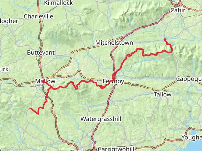
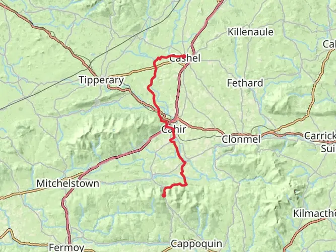
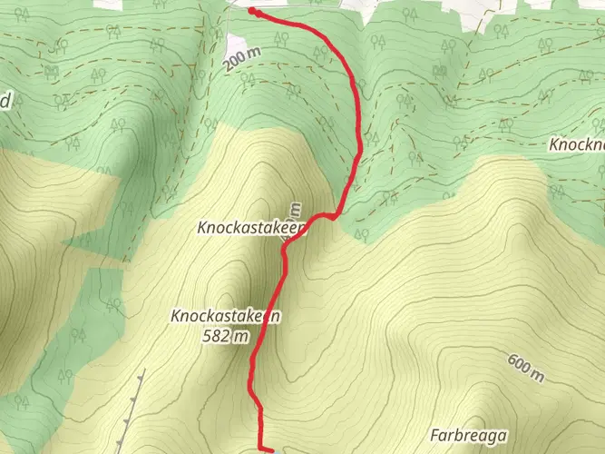
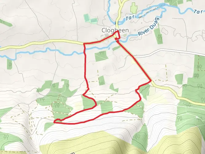
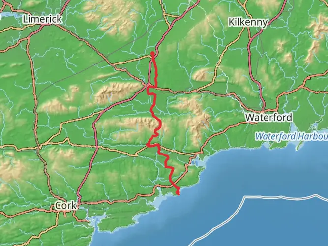
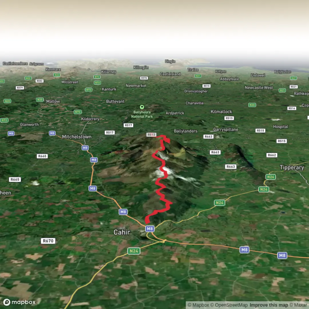
This challenging one‑day hike starts near Cahir and covers about 29.1 km with over 1,535 m of climbing and 1,560 m of descent. Expect sustained steep sections and rough mountain paths, suited to experienced hikers with good fitness. The route traverses scenic uplands and farmland of County Tipperary before finishing west of the Galtee Mountains, offering broad valley views and a strong sense of remoteness.
Created by
Ed O'Sullivan

What to expect?
no-dogs
mountain-views
forest
wildflowers
wildlife
scenic-views
lakes
Surfaces
Unknown
Grass
Gravel
Asphalt
Ground
Comments and Reviews
User comments, reviews and discussions about the Galtees from Cahir, Ireland.
average rating out of 5
0 rating(s)