Download
3D Flyover
Add to list
More
1222.0 km
~46 days
17065 m
Multi-Day
“Trek the Camino Claviere-Candanchu, a historic and scenic 1222km European hiking odyssey.”
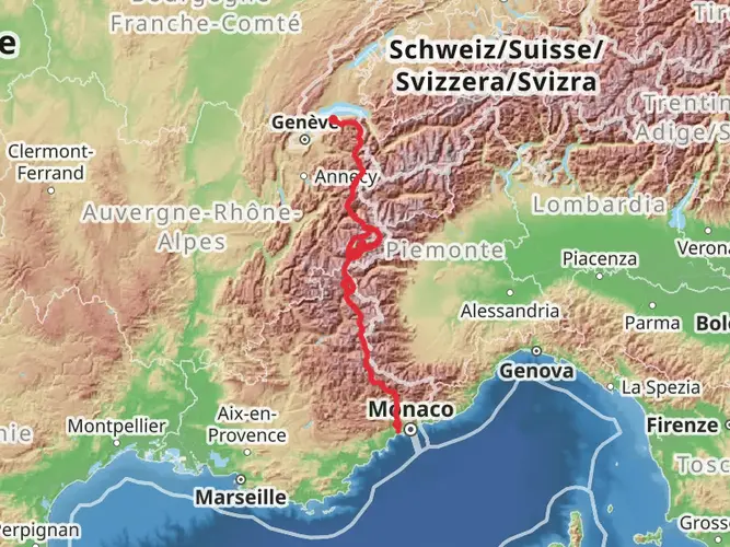
Embarking on the Camino Claviere-Candanchu via Arles is a journey through the heart of European history and stunning landscapes. This extensive trail, spanning approximately 1222 kilometers (about 759 miles) with an elevation gain of around 17,000 meters (approximately 55,775 feet), is a challenging yet rewarding endeavor for any avid hiker.
Starting Point and How to Get There
The trailhead is located near Claviere, a small mountain village in Italy, nestled in the Cottian Alps. To reach Claviere, hikers can fly into Turin Airport and take a combination of trains and buses towards the town. Those driving can navigate to Claviere via the SS24 highway, which connects to major routes from Turin or other Italian cities.
Trail Overview
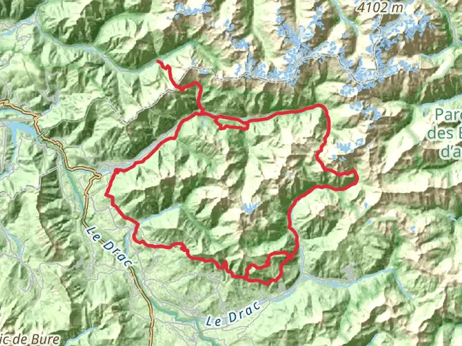
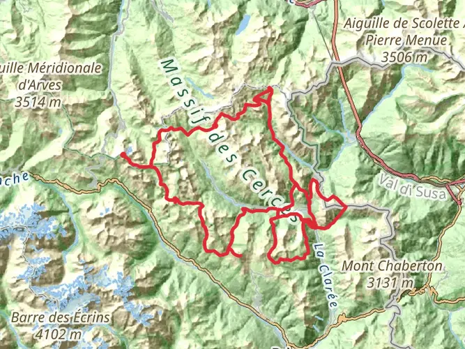
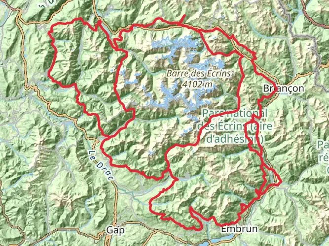
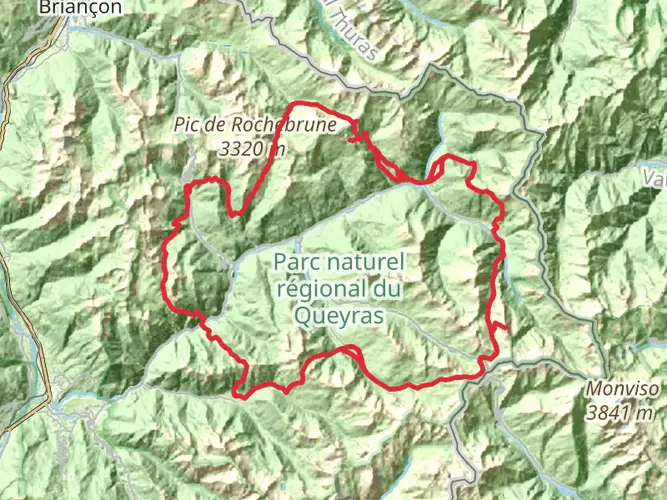
As you set out from Claviere, the trail takes you through a mosaic of alpine scenery, quaint villages, and historical sites. The path is a point-to-point route, meaning hikers will traverse from the start to the end without looping back. The terrain is varied, with steep ascents and descents, rocky paths, and occasionally smooth trails through forests and meadows.
Historical Significance
The region is steeped in history, with the trail itself following ancient routes once trodden by pilgrims, traders, and armies. Along the way, you'll encounter medieval towns, old churches, and remnants of the Roman Empire. The Camino is a testament to the cultural exchange that has shaped Europe over centuries.
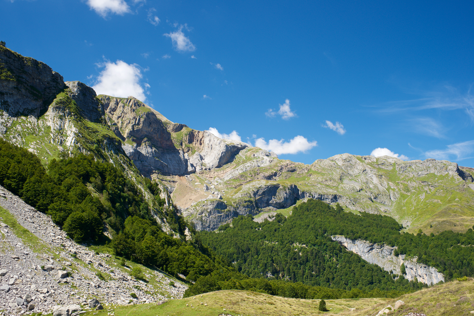
Landmarks and Nature
The journey will take you through the Pyrenees, a range that forms a natural border between France and Spain. Expect to be greeted by panoramic views, diverse flora, and wildlife. Keep an eye out for golden eagles soaring above and marmots scurrying across the trail. The changing landscapes, from the rugged peaks of the Pyrenees to the rolling hills of the Basque Country, are a constant source of wonder.
Navigation and Preparation
Given the trail's length and complexity, it's crucial to plan each stage carefully. HiiKER is an excellent tool for navigation, offering detailed maps and information on the trail. Hikers should prepare for varying weather conditions and carry appropriate gear for both warm and cold climates. It's also advisable to book accommodations in advance, especially in the smaller villages where options may be limited.
Safety and Etiquette
The trail is rated as difficult, so a good level of fitness is required. Be mindful of the environment, sticking to marked paths to avoid erosion and disturbance to wildlife. Always carry enough water and food, and be prepared for emergencies with a first-aid kit and the ability to contact local rescue services if necessary.
Conclusion
The Camino Claviere-Candanchu via Arles is more than just a hike; it's a journey through time and nature that offers a profound connection to the landscapes and history of Europe. With careful preparation and respect for the trail, hikers will find this experience to be one of the most memorable of their lives.

Frequently asked questions
How long is the Camino Claviere-Candanchu via Arles and how hard is it?
The Camino Claviere-Candanchu via Arles is a 1,222.03 km point-to-point thru-hike with 17,065 m of total ascent, so it sits firmly in the difficult category. It combines a very long distance with major elevation gain, making it better suited to experienced multi-day hikers than to casual walkers.
Where does the Camino Claviere-Candanchu via Arles start and finish?
The route starts in Claviere in the Italian Alps and finishes in Candanchu in the Spanish Pyrenees. In practice it links the Italian side of the old pilgrimage approach with the Via Tolosana or GR 653 across southern France, then reaches the Somport area above Candanchu where the route connects with the Camino Aragonés.
What towns and major route sections does the Camino Claviere-Candanchu via Arles follow?
This route runs west from Claviere toward the Arles pilgrimage corridor, then follows the Via Tolosana, the southern French Camino route commonly waymarked as GR 653. Key sections of that historic line pass through Arles, Toulouse, the Béarn region, and the Somport Pass before descending to Candanchu.
How do hikers get to the start of the Camino Claviere-Candanchu via Arles in Claviere?
Claviere is reachable from Turin Airport in about an hour by car, and there is also a public-transport option via Turin city, Porta Nuova, Oulx, and the local bus onward to Claviere. By road, Claviere sits on the Italian side of the Montgenèvre border crossing, making it a practical trailhead for both drivers and transit users.
How do hikers leave the Camino Claviere-Candanchu via Arles from Candanchu at the end?
Candanchu is in Aragón, about 28 km from Jaca, and it is served by road access and bus connections on the Jaca-Candanchu corridor. That makes the finish relatively straightforward for onward travel, whether the next step is a transfer down to Jaca or a continuation over the Somport side of the Camino network.
What is the highest mountain section on the Camino Claviere-Candanchu via Arles?
One of the key high-mountain sections is the Somport Pass, where the Via Tolosana reaches roughly 1,632 m before linking into the Spanish Camino Aragonés. That Pyrenean crossing is one of the most significant alpine points on the route and is a major reason this itinerary feels more demanding than a lowland pilgrimage walk.
Is the Camino Claviere-Candanchu via Arles a loop trail or a point-to-point route?
The Camino Claviere-Candanchu via Arles is a point-to-point multi-day route rather than a circuit. It begins in Claviere and ends in Candanchu, so transportation planning matters at both ends, especially for a hike of more than 1,200 km across Italy, France, and Spain.
Comments and Reviews
User comments, reviews and discussions about the Camino Claviere-Candanchu via Arles, Italy.
5.0
average rating out of 5
5 rating(s)