Download
3D Flyover
Add to list
More
173.3 km
13 days
12390 m
Multi Day
“Embark on the legendary Alta Via 2 for an epic trek through the Dolomites' breathtaking vistas and rich history.”
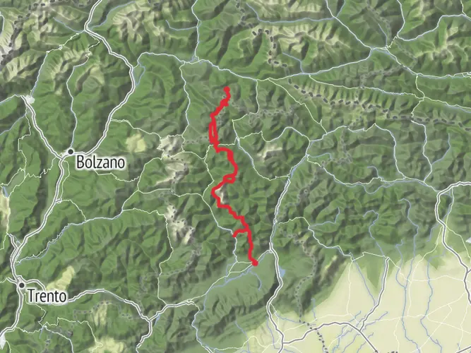
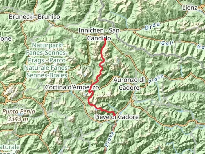
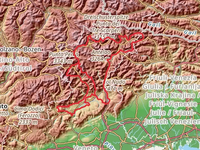
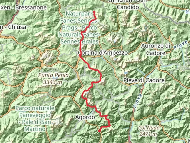
The Alta Via 2, also known as the Way of the Legends, is a challenging high-altitude trek that traverses the heart of the Italian Dolomites. This approximately 173 km (107 miles) journey begins near Eisacktal - Valle Isarco, a valley in South Tyrol, Italy, and stretches to the picturesque town of Feltre in the province of Belluno. With an elevation gain of around 10,300 meters (33,800 feet), this point-to-point trail is not for the faint-hearted, earning its rating as extra difficult due to steep ascents, rocky terrain, and the need for technical skills on certain sections.
Getting to the Trailhead
To reach the starting point of the Alta Via 2, hikers can fly into one of the nearby airports such as Innsbruck or Venice and then take a train or bus to Brixen/Bressanone in the Eisacktal - Valle Isarco valley. From there, local buses or taxis can take you to the trailhead. If driving, parking is available in the valley, but it's advisable to arrange transportation back from Feltre at the end of the hike.
The Trek Itself
The trail begins with a steep ascent, setting the tone for what is to come. Hikers will navigate through dense forests, alpine meadows, and rocky passes. The path is well-marked with the iconic red and white stripes, and using HiiKER for digital navigation can help ensure you stay on the correct route.
Notable Landmarks and Natural Beauty
As you progress, the Puez-Odle Nature Park is one of the first significant landmarks, offering breathtaking views of jagged peaks and lush valleys. The Marmolada, the highest peak in the Dolomites, is another highlight, with its imposing glacier a reminder of the region's ancient geological history.
Wildlife and Flora
The Dolomites are home to a rich array of wildlife, including marmots, chamois, and eagles. The diverse flora ranges from alpine roses to edelweiss, thriving in the varying altitudes along the trail.
Historical Significance
The region is steeped in history, with remnants of World War I scattered throughout. The trail passes close to the open-air museum at Cinque Torri, where hikers can witness preserved trenches and learn about the harsh conditions soldiers endured.
Accommodations and Refuges
There are numerous mountain huts, known as rifugios, along the Alta Via 2. These provide opportunities for rest and replenishment, but due to their popularity, it's essential to book in advance, especially during the peak summer months.
Preparation and Safety
Given the trail's difficulty, hikers should be in excellent physical condition and have experience with multi-day treks. Weather in the Dolomites can change rapidly, so be prepared with appropriate gear for cold, rain, and possibly snow, even in summer. It's also wise to carry a first aid kit, a reliable means of communication, and enough food and water for the more remote sections of the trail.
Conclusion
The Alta Via 2 is a trek that promises adventure, stunning natural beauty, and a deep connection with the history of the Dolomites. With careful planning, respect for the mountain environment, and a spirit of endurance, hikers will find this trail to be a truly unforgettable experience.
AI Planner
Days planned around your pace, with somewhere to stay each night.

Surfaces
Unknown
Asphalt
Dirt
Gravel
Grass
Ground
Unpaved
Concrete
Cobblestone
Paved
Wood
Comments and Reviews
User comments, reviews and discussions about the Alta Via 2, Italy.
4.8
average rating out of 5
10 rating(s)