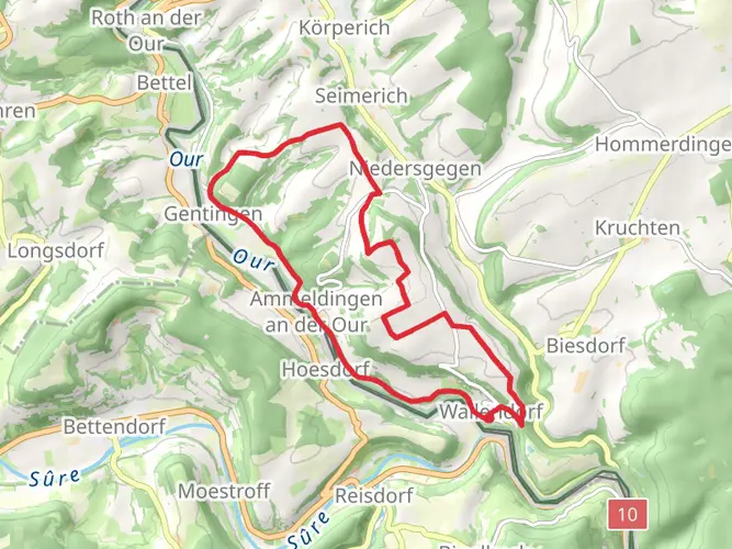
Download
3D Flyover
Add to list
More
33.1 km
2 days
902 m
Multi Day
“Embark on a scenic 32km trek through Luxembourg's storied landscapes on the Mullerthal Trail 2.”
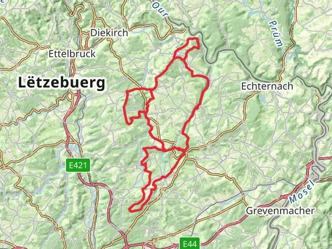
The Mullerthal Trail 2, nestled in the heart of Luxembourg's Little Switzerland, offers a medium-difficulty hiking experience that spans approximately 32 kilometers (about 20 miles) with an elevation gain of around 600 meters (roughly 1968 feet). This loop trail begins near the canton of Echternach, a region renowned for its picturesque landscapes and rich historical tapestry.
Getting to the Trailhead
To reach the starting point of the Mullerthal Trail 2, hikers can either drive or use public transportation. For those opting for public transport, buses frequently run from Luxembourg City to Echternach, where the trailhead is a short walk from the town center. If driving, parking is available in Echternach, which serves as a convenient base to start and end the hike.
The Hike Itself
Embarking on the trail, hikers are immediately greeted by the lush woodlands characteristic of the region. The path meanders through dense forests, alongside babbling brooks, and past dramatic rock formations. The trail is well-marked, but hikers should consider using the HiiKER app for navigation to ensure they stay on the correct path.
One of the early highlights, roughly 5 kilometers (3.1 miles) in, is the Schiessentümpel waterfall, a charming cascade framed by a stone bridge. It's a popular spot for photography and a refreshing place to take a short break.
As the trail continues, hikers will encounter the impressive rock labyrinth of Eulenburg – a series of narrow passages between towering boulders. This section can be a bit challenging but is an exhilarating experience as you navigate through the natural maze.
Historical Significance and Landmarks
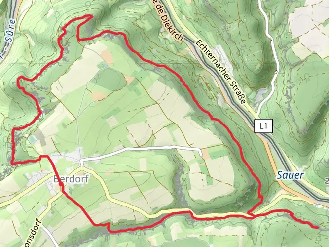
The Mullerthal region is steeped in history, and the trail offers glimpses into the past. Approximately halfway through the hike, near the village of Berdorf, hikers will find the ruins of Heringer Millen, an old mill that serves as a testament to the area's historical agricultural practices.
Further along, the trail passes close to Beaufort Castle, dating back to the 12th century. While the castle is not directly on the trail, a short detour to explore this medieval fortress is well worth the effort.
Flora and Fauna
Throughout the hike, the diverse flora and fauna of the region are on full display. The forests are home to a variety of tree species, including beeches and oaks, and the undergrowth is rich with ferns and mosses. Birdwatchers may spot species such as the black woodpecker and the hawfinch, while the more observant hiker might catch a glimpse of deer or even a fox.
Conclusion of the Trail
As the loop comes to a close, the trail descends back into the valley, where hikers can reflect on the natural beauty and historical wonders they've encountered. The final stretch leads back to Echternach, where one can find refreshments and rest after the rewarding journey.
Remember to pack sufficient water, snacks, and a good pair of hiking boots, as the terrain can be rocky and uneven in places. The Mullerthal Trail 2 is a journey through both the natural splendor and the historical heritage of Luxembourg, offering an enriching experience for hikers of all levels.
AI Planner
Days planned around your pace, with somewhere to stay each night.

Surfaces
Ground
Unknown
Asphalt
Sand
Dirt
Gravel
Unpaved
Wood
Paved
Cobblestone
Comments and Reviews
User comments, reviews and discussions about the Mullerthal 2, Luxembourg.
4.63
average rating out of 5
24 rating(s)