Download
Preview
Add to list
More
9.4 km
~2 hrs 8 min
163 m
Loop
“Wander ACLT’s leafy singletrack past quiet graves, rolling rises, and rain-slick mud pockets.”
This easy loop-and-lollipop walk strings together several short connectors—Cemetery Lane, Gravatt Lane, Flint Trail, and Easter Trail—inside the American Chestnut Land Trust (ACLT) in Calvert County, Maryland. Expect roughly 9 km / 5.6 mi total with about 200 m / 656 ft of cumulative gain (the climbs come in short, rolling bursts rather than one long ascent). The tread is mostly natural-surface singletrack with a few narrow, rooty sections and occasional muddy low spots after rain.
Getting to the start (car + public transport)
By car: The most straightforward access for these named segments is the ACLT South Side Trailhead at 1985 Scientists Cliffs Road, Port Republic, MD 20676. (acltweb.org)
Parking is limited and the area is quiet—arrive early on weekends.
By public transport: Calvert County’s trailheads are not well-served by frequent transit. The practical approach is to take regional service toward Prince Frederick and then use a rideshare/taxi for the last miles to Scientists Cliffs Road (cell service can be patchy in the woods, so arrange pickup times in advance). If you want a more transit-tolerant option, the ACLT North Side/PF2BAY trailheads are closer to Prince Frederick addresses, but this specific set of trails is most naturally reached from the South Side. (acltweb.org)
For navigation, download the route to HiiKER before you arrive so you can follow junctions confidently even if reception drops.
What the route feels like underfoot
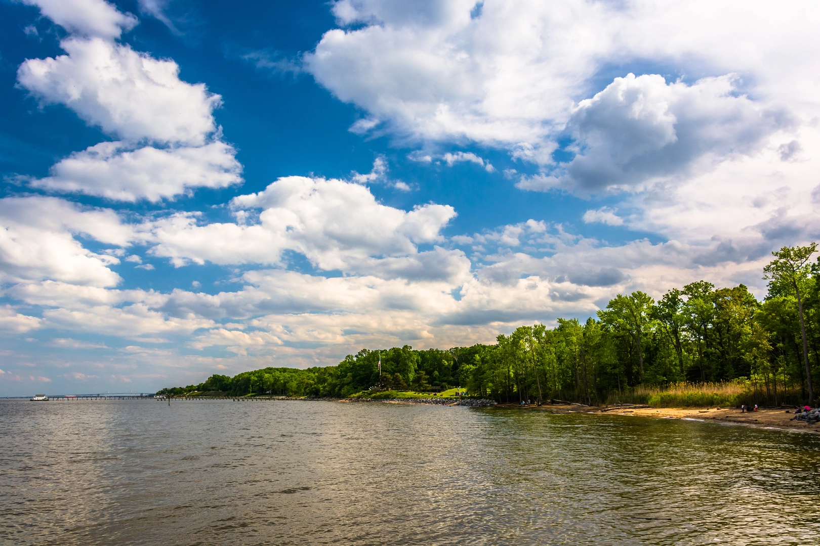
From the South Side trail network, you’ll be walking in classic Southern Maryland coastal-plain forest: mixed hardwoods, dense understory in summer, and leaf-littered tread that can hide roots and small ruts. The “easy” rating is accurate for fitness and technicality, but there are a few things that can slow you down: - Short, punchy rises that add up to your total gain (you’ll notice them more on the return legs). - Seasonal mud in low areas—especially after storms or during late winter/early spring thaw. - Narrow corridor sections where vegetation leans in and the trail can feel tighter.
Plan on 2–3 hours at a relaxed pace with time for stops, photos, and reading historic features.
Key segments and landmarks (with approximate distances)
Distances below are approximate and will vary depending on exactly how you link the connectors and which junctions you choose.
0.0–1.5 km (0.0–0.9 mi): Settling into the woods You’ll start on well-established ACLT tread, quickly leaving road noise behind. Early on, the trail tends to be gently rolling—good for warming up. In spring and early summer, look for woodland wildflowers along sunnier edges; in fall, the leaf drop can make the surface slick on hidden roots.
1.5–3.5 km (0.9–2.2 mi): Flint Trail + Gravatt Lane character
This portion is typically the most “singletrack” feeling: narrower, more intimate forest walking, with a few spots where the trail pinches between trees. Expect minor footing checks—roots, small washouts, and occasional soft ground.
If you’re moving clockwise, you’ll often feel the climbs as brief ramps rather than sustained grades.
3.5–5.5 km (2.2–3.4 mi): Cemetery Lane and the Hance–Chesley Cemetery
Cemetery Lane itself is a very short connector—about 0.16 mi / 0.26 km—but it leads to one of the most meaningful landmarks in this cluster: the Hance–Chesley Cemetery. (acltweb.org)
Treat this area with respect: stay on the tread, keep voices low, and avoid stepping onto grave plots or moving any stones. It’s a quiet reminder that these woods have been lived in, worked, and settled for generations.
5.5–9.0 km (3.4–5.6 mi): Easter Trail and the return As you transition onto Easter Trail and begin stitching back toward your start, the walking remains easy but can feel a bit more “up-and-down” as you cross small drainages and low ridgelines. This is where cumulative

Surfaces
Ground
Dirt
Unknown
Unpaved
Asphalt
Wood
Comments and Reviews
User comments, reviews and discussions about the Cemetery Lane, Gravatt Lane,Flint Trail and Easter Trail, Maryland.
average rating out of 5
0 rating(s)