Download
3D Flyover
Add to list
More
9.1 km
~1 hrs 50 min
7 m
Loop
“A gentle borderland ramble from Haarmühle through birch woods, fens, and squelchy heath.”
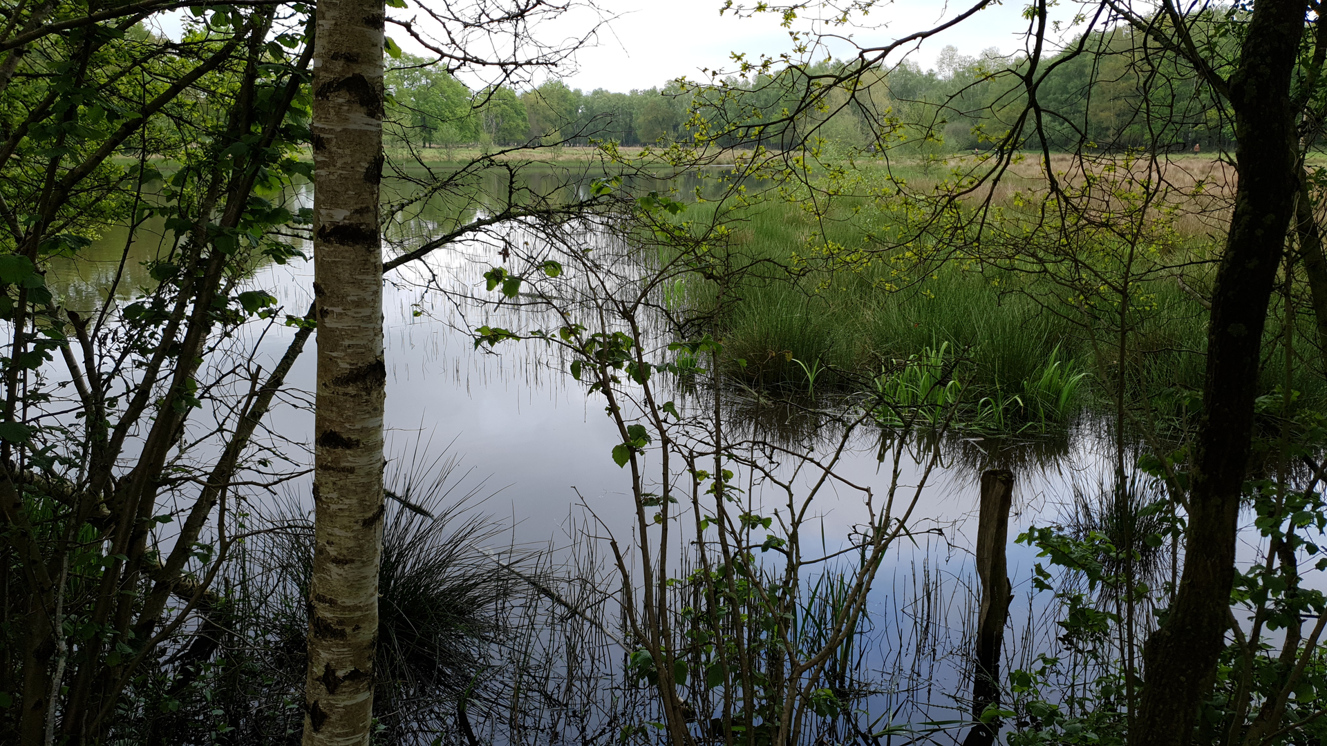
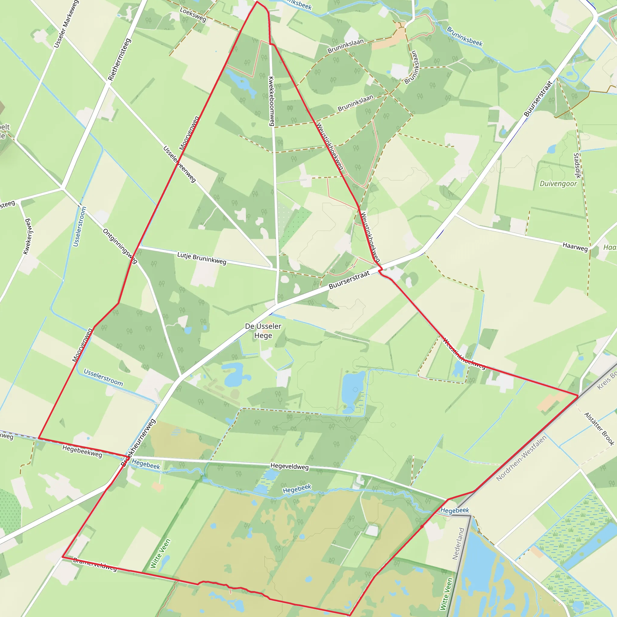
This easy loop (about 8.9–9.2 km / 5.5–5.7 mi) is a low-relief wander through the borderland landscapes south of Enschede: raised-bog remnants, wet heath, fens (vennen), birch woodland, and quiet farm edges. Expect a mostly flat outing (typically ~0–11 m / 0–36 ft of total ascent depending on the exact variant), with the “difficulty” coming more from soft, wet ground than from hills. (routeyou.com)
Where the hike starts (nearest known address / landmark)
A very common and practical start for the Witte Veen routes is at the historic watermill and restaurant Landgasthof Haarmühle, right on the Dutch–German border:
- Landgasthof Haarmühle, Beßlinghook 57, 48683 Ahaus-Alstätte, Germany (haarmuehle.de)
From here, you’re immediately at the edge of the Witte Venn / Witte Veen nature area, with signed walking-network routes in the vicinity. (visittwente.nl)
Getting to the start
By car - Set your navigation to Beßlinghook 57, 48683 Ahaus-Alstätte (Haarmühle). Parking is typically available around the restaurant/watermill area, which is a common trailhead for circular walks into Witte Veen/Witte Venn. (visittwente.nl)
By public transport - The closest major rail hub is Enschede (Netherlands). From Enschede, you’ll usually need a bus toward Buurse/Haaksbergen plus a short taxi/ride-share, or a taxi directly, to reach the border-area trailhead near Haarmühle. (Public transport options in this rural border zone can be infrequent, especially evenings/weekends—check schedules for your travel day.) (mapcarta.com)
What you’ll see along the loop (with planning distances)
0.0–1.5 km (0.0–0.9 mi): bog-edge paths, wet heath, and the first fens
Leaving the Haarmühle area, the route quickly trades buildings for open heath and damp hollows. This is classic former raised-bog country: you’ll notice nutrient-poor pools, spongy ground, and patches of birch that thrive where the soil stays wet. In cooler months and after rain, expect mud and standing water on the lowest sections—waterproof footwear or at least water-resistant trail shoes make the day much more comfortable. (natura2000.nl)
1.5–4.5 km (0.9–2.8 mi): quiet lanes/tracks toward Broekheurne, with hedgerows and fields
The loop typically swings out of the wettest core and threads through a calmer mosaic of unsealed tracks, field margins, and small wooded strips. You’ll still feel the “borderland” character—straight drainage lines and older trackways hint at the long history of people trying to tame and use this wet landscape. (routeyou.com)
4.5–6.0 km (2.8–3.7 mi): Broekheurne area—rural settlement edges
Broekheurne is a small locality in the Enschede area; on this loop it’s more of a passing-through point than a destination, with the route keeping to quieter roads and paths rather than busy streets. Treat this middle portion as your easiest footing of the day—good for a snack break—before you angle back toward the wetter nature
Surfaces
Unknown
Sand
Asphalt
Comments and Reviews
User comments, reviews and discussions about the Witte Veen and Broekheurne Loop, Netherlands.
average rating out of 5
0 rating(s)
