Download
Preview
Add to list
More
202.7 km
~12 days
4230 m
Multi-Day
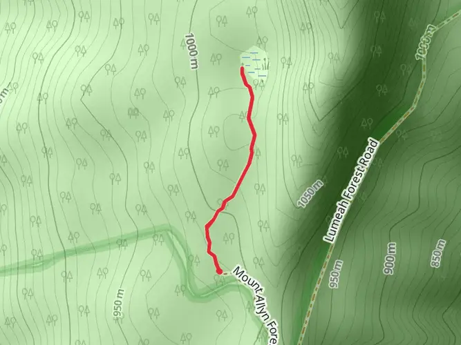
The Tops to Myall Heritage Trail is a 202.7 km trail that starts in Salisbury, Salisbury, New South Wales. Based on our data, the hike is graded as Medium. For information on how we grade trails, please read measuring the difficulty of a hiking trail on hiiker. Also, check our latest community posts for trail updates. This hike can be completed in approx 8 days. Caution is advised on trail times as this depends on multiple variables. For more info read about how we calculate hike time.

What to expect?
Activity types
Frequently asked questions
How long does the Tops to Myall Heritage Trail take to hike end to end?
The Tops to Myall Heritage Trail is a 202.71 km multi-day route, so most end-to-end hikes take around 10 to 11 days. A commonly cited full-trail itinerary breaks it into 11 walking days, starting in the Barrington Tops area and finishing near Hawks Nest on the coast.
How difficult is the Tops to Myall Heritage Trail in New South Wales?
The Tops to Myall Heritage Trail is generally rated medium, but its length makes it a serious undertaking. Over 202.71 km, the route gains about 4,230 m of elevation, so the challenge comes from sustained daily mileage, repeated climbs, and the logistics of a long point-to-point walk rather than from technical scrambling.
Where does the Tops to Myall Heritage Trail start and finish?
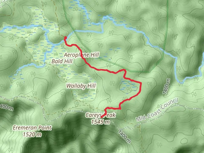
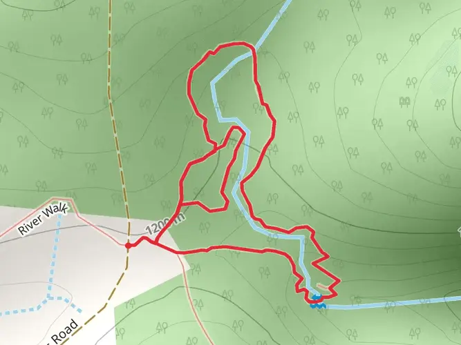
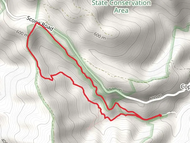
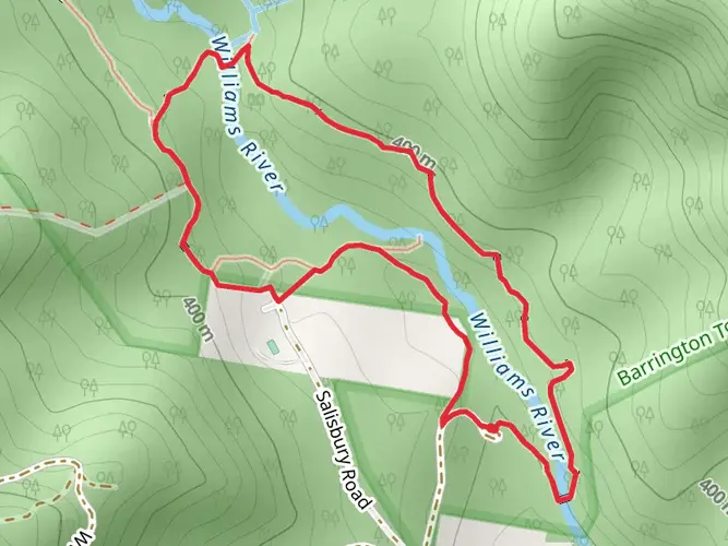
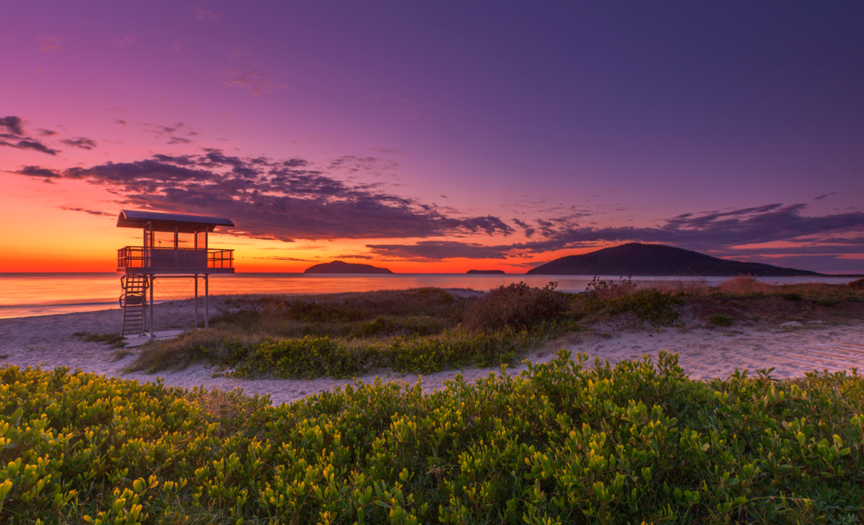
The Tops to Myall Heritage Trail runs from the Barrington Tops area down to the Myall coast in New South Wales. The route is widely described as starting on the Barrington Tops plateau and finishing around Tea Gardens or Hawks Nest, linking mountain forest, state forest, and the Myall Lakes area on its way to sea level.
Are dogs allowed on the Tops to Myall Heritage Trail?
Dogs are not suitable for the full Tops to Myall Heritage Trail because the route passes through Myall Lakes National Park, where dogs are not permitted, including on the Bombah Point ferry and Mungo Brush Road. That park restriction affects the coastal section of the trail and rules out a true end-to-end hike with a dog.
What is the best time of year to hike the Tops to Myall Heritage Trail?
The most practical hiking windows are usually the cooler months of autumn and spring, when long daily stages are more manageable. Winter can also work, but Barrington Tops has seasonal vehicle closures from June 1 to September 25, 2026 on several 4WD access trails, so access at the mountain end may require extra planning even when walking remains possible.
How do hikers access the Myall Lakes end of the Tops to Myall Heritage Trail?
Access near the Myall Lakes section often involves the Bombah Point ferry, which operates daily from 8am to 6pm and provides a key crossing in the park. Mungo Brush Road and campgrounds such as Mungo Brush and Korsmans Landing are important access points on the coastal half, so transport timing matters when planning a through-hike.
Are there campsites along the Tops to Myall Heritage Trail?
Yes. The trail is commonly described with about 10 designated campsites spread across the full route, and the classic itinerary uses overnight stops such as Wombat Creek, Mountaineer, Log Dump, Little River, Shorty's Camp, Korseman's Landing, Brambles Green, and a finish near Hawks Nest Surf Club. Because it is a long multi-day walk, campsite spacing is a major part of the planning.
Comments and Reviews
User comments, reviews and discussions about the Tops to Myall Heritage Trail, New South Wales.
average rating out of 5
0 rating(s)