Download
3D Flyover
Add to list
More
1.2 km
~14 min
6 m
Loop
“Stroll Fort Crown Point’s sunlit ruins and lawns, pausing for sweeping Lake Champlain views.”
This is a short, mostly level wander around the grounds of Fort Crown Point—ideal for families, history buffs, and anyone looking for an easy leg-stretcher with big views over Lake Champlain. Expect about 1 km (0.6 mi) total with roughly 0 m (0 ft) of climbing, on a mix of packed gravel, mown grass, and short paved segments depending on which connectors you choose.
Getting to the trailhead (and where “near” is)
The loop is best started from the main visitor access for Crown Point State Historic Site, near the Fort Crown Point ruins on the west shore of Lake Champlain in Crown Point, New York. A reliable landmark to aim for is the Crown Point State Historic Site parking area by the fort ruins and visitor facilities (seasonal).
- By car: Navigate to Crown Point State Historic Site / Fort Crown Point in Crown Point, NY. Parking is typically on-site near the ruins. If you’re coming from the south, you’ll generally approach via NY-9N/NY-185 area roads; from Vermont, you may be using the Lake Champlain Bridge corridor and then local roads to the historic site.
- By public transport: Direct public transit to the fort is limited. The most practical approach is usually to take intercity service to a larger nearby town (commonly Ticonderoga, NY or Port Henry, NY depending on schedules), then use a taxi/rideshare (where available) to reach the historic site. Plan for patchy cell coverage in rural stretches and confirm return options before you set out.
If you share the lon/lat for the start point, I can convert it to the nearest known address/landmark precisely and tailor the directions to that exact spot.
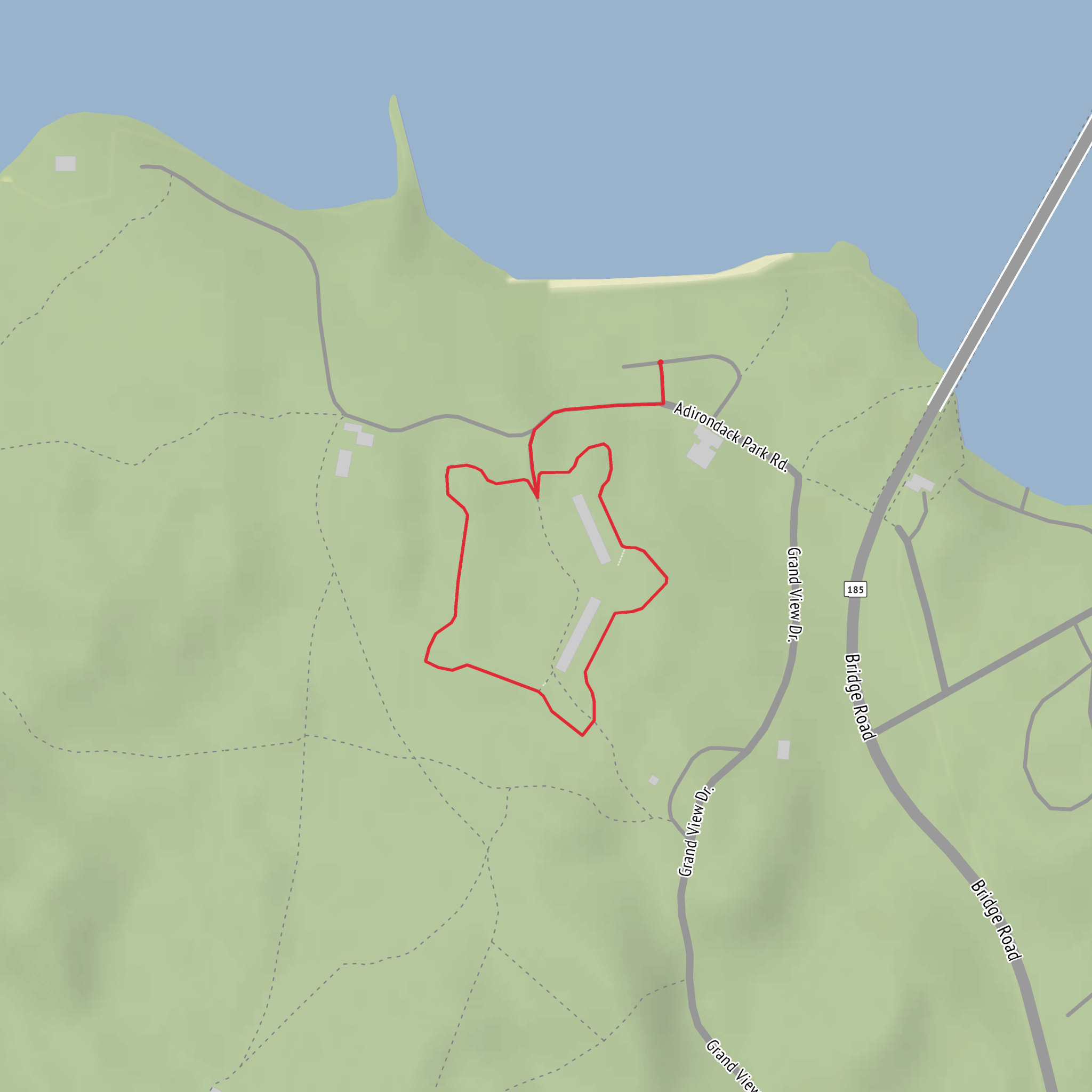
What the route is like You can treat this as a “choose-your-own” loop around the fort complex: the ruins, the open parade-ground-like lawns, and the lakeshore viewpoints. Because the terrain is essentially flat, the main variables are surface (grass vs. gravel) and how close you stay to the water’s edge.
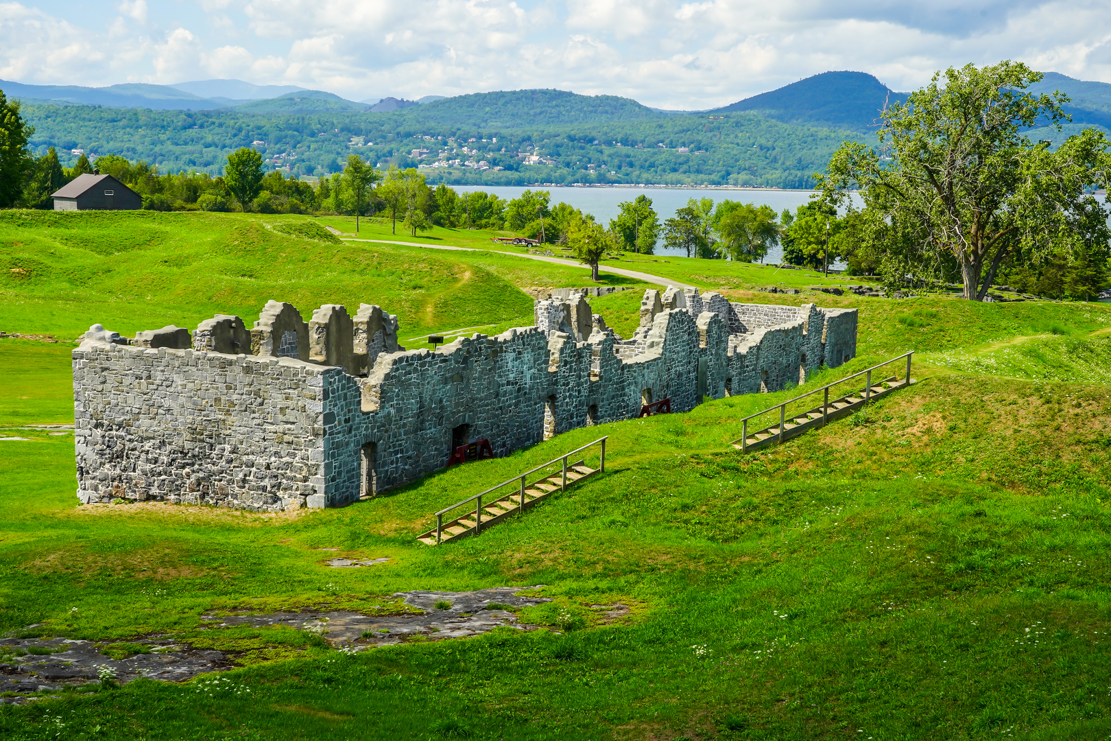
A common, easy way to structure the 1 km (0.6 mi) loop: - 0.0–0.3 km (0.0–0.2 mi): From the parking/entry area, follow the most obvious footpaths toward the main ruin footprint. You’ll be walking through open, sun-exposed ground with interpretive signage in season. - 0.3–0.7 km (0.2–0.4 mi): Curve around the outer edges of the ruins and toward the lakeside. This is where you’ll get the best sense of the fort’s scale—low stonework, earthworks, and broad clearings that once supported military activity. - 0.7–1.0 km (0.4–0.6 mi): Return via a parallel path back across the grounds to the start, keeping the loop compact and easy.
Use HiiKER to confirm the exact on-site connectors you want to take (especially if you prefer firmer surfaces for strollers or mobility needs), since short internal paths can vary by season and site management.
Landmarks and historical context
Crown Point is one of the most historically significant spots on Lake Champlain. The location was strategically vital because Lake Champlain forms a natural north–south travel corridor between Canada and the Hudson Valley. Fortifications here changed hands and evolved over time as different powers tried to control movement along the lake.
On this loop, the standout landmarks are: - Fort Crown Point ruins: Broad stone remnants and foundations that hint at the fort’s original footprint and defensive design. - Lake Champlain overlooks: Open sightlines across the water—excellent for understanding why this position mattered militarily. - Interpretive areas (seasonal): Signs and maintained viewpoints that provide context about the fort’s construction, conflicts in the region, and the broader Champlain Valley story.
Because the walk is short, it’s worth slowing down: the “payoff” is less about physical challenge and more about reading the landscape—angles of view, proximity to the shoreline, and how the open ground would have functioned for defense and logistics.
Nature, wildlife, and what to look out for
Even though you’re on a historic site, you’re still in a lakeside ecosystem.
- Birdlife: Expect common lakeshore and wetland-edge birds—gulls, swallows, and seasonal migrants. Early morning and late afternoon are typically best for activity.
- Plants and terrain: Open grassy areas can host wildflowers in season; edges near the water may be muddier after rain. Ticks can be present in grassy margins in warmer months—long socks and a quick post-walk check help.
- Insects and sun exposure: The grounds are often exposed with limited shade. On warm days, bring water even for a 1 km (0.6 mi) stroll, and consider sun protection. Near the lake, mosquitoes can spike around dusk.
Practical planning notes (easy doesn’t mean “no prep”) - Footwear: Light hikers or sneakers are fine; choose something with decent grip if the grass is wet. - Accessibility: The minimal elevation change (about 0 m / 0 ft) is friendly, but surfaces can vary. If you need the firmest route, use HiiKER to keep to the most established paths and avoid softer lakeside edges. - Time needed: Most people will take 15–30 minutes of walking time, but plan longer if you’ll be reading signage, taking photos, or exploring viewpoints. - Weather: Lake Cham
Surfaces
Unknown
Asphalt
Comments and Reviews
User comments, reviews and discussions about the Fort Crown Point Loop, New York.
average rating out of 5
0 rating(s)
