Download
3D Flyover
Add to list
More
12.8 km
~2 hrs 58 min
248 m
Out and Back
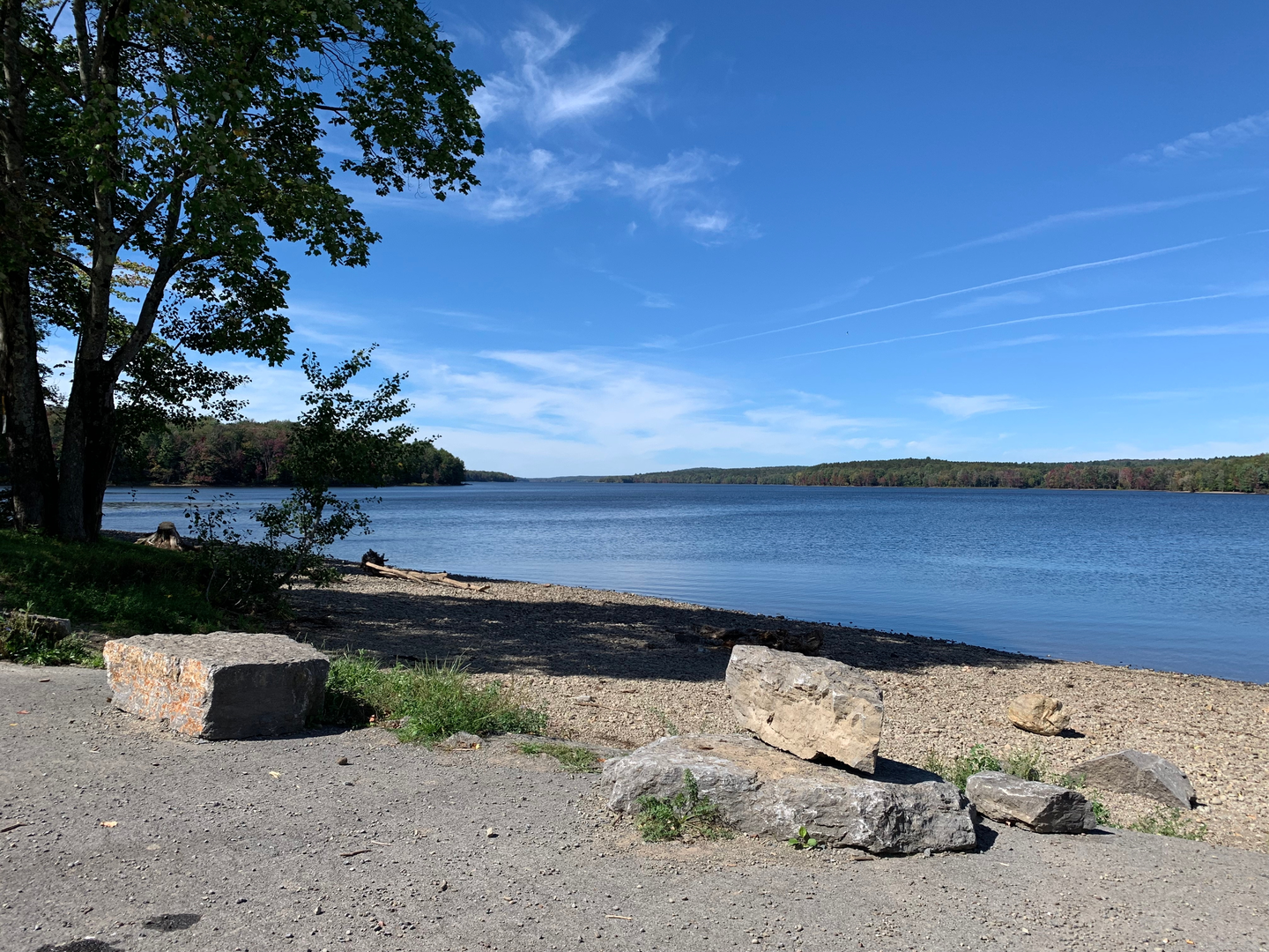
“Drift between woodland ponds on gentle, rooty trails, pausing for cool water-glimpses and quiet climbs.”
This is a mellow, pond-to-pond woodland walk with frequent water views, gentle grades, and a few short, steeper pitches that account for most of the ~300 m (≈985 ft) of climbing. At ~13 km (≈8.1 mi), it’s long enough to feel like a full outing, but the terrain typically stays “easy” as long as you’re comfortable on roots, rocks, and occasional wet sections near the shorelines and low spots.
Getting to the trailhead (car + public transport)
Because the hike details you provided cut off at “Hike head: near …”, I don’t yet have the actual start coordinates, town, state/province, or a parking area name to convert into a nearest address/landmark. If you paste the trailhead latitude/longitude (or a HiiKER link), I can: - convert it to the nearest known address or prominent landmark, - describe the exact approach roads and parking, - and suggest the most realistic public-transport option for that specific location.
In the meantime, here’s the practical framework most hikers use for pond-trailheads in the Northeast (where “Stony Pond / Center Pond / Hewitt Pond” naming is common): - By car: expect a small gravel pull-off, a signed trail register, or a gate at the end of a forest road. Arrive early on weekends—pond access points can fill quickly in summer. - By public transport: these trailheads are often not directly served. The usual pattern is train/bus to the nearest town, then a rideshare/taxi to the trailhead. If you tell me the nearest town or coordinates, I’ll map the most workable route.
What the route feels like underfoot
You’ll spend most of the day on mixed forest trail: packed dirt, pine needles, and leaf litter, with intermittent root lattices and small rock steps. Near the ponds, the tread often turns softer and can be muddy after rain or during spring thaw. Plan for: - Short wet stretches on low ground and near inlets/outlets (waterproof footwear or quick-drying trail runners help). - A few narrow, uneven shoreline sections where footing can be slanted and slick with needles or algae-darkened rock. - Minor ups and downs rather than one sustained climb—your total gain (~300 m / ~985 ft) is usually accumulated in small increments.
A good pacing expectation for an easy-but-uneven 13 km (8.1 mi) route is 3.5–5 hours moving time, plus breaks for pond overlooks and snacks.
Landmarks and natural highlights (with approximate distances)
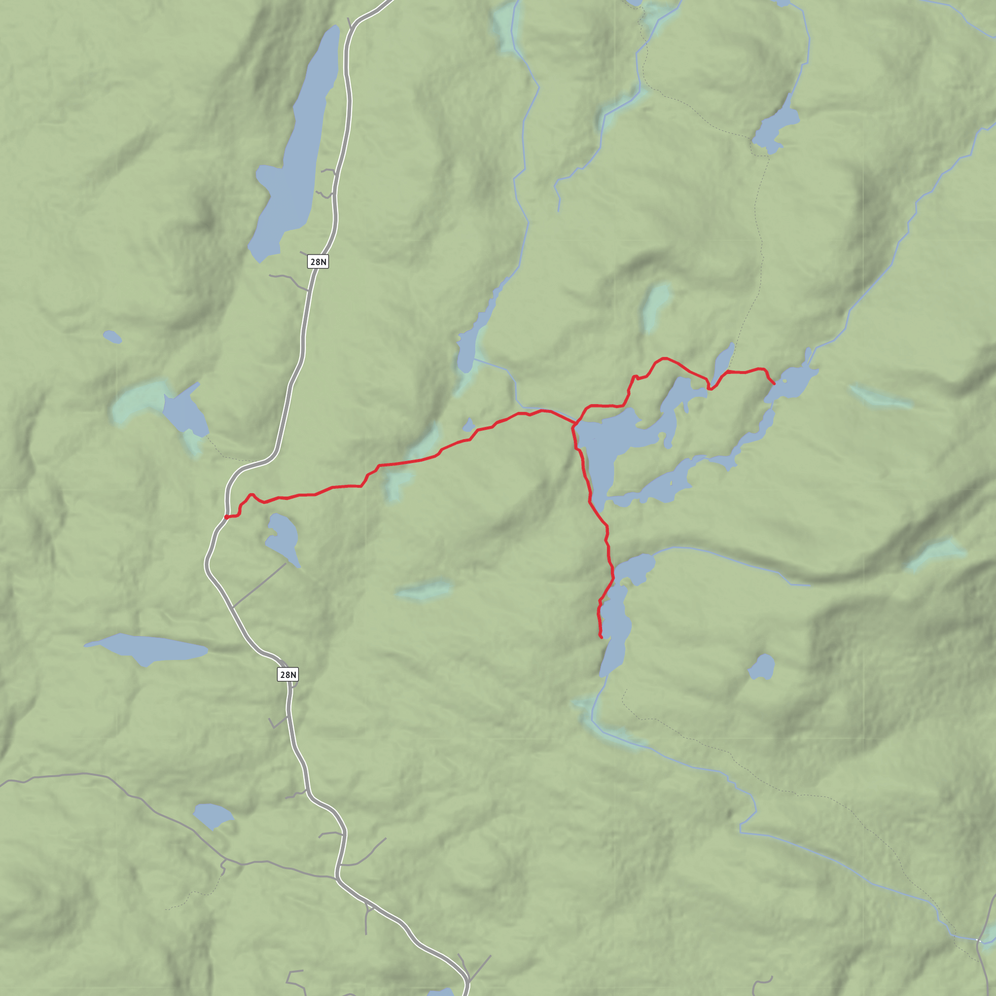
Distances below assume a typical out-and-back or lollipop-style linking Stony Pond Trail with Hewitt Pond Trail to reach Stony Pond and Center Pond. Once you share the exact trailhead, I can tighten these to match the real junctions and shoreline segments.
0–2 km (0–1.2 mi): Settling into the woods You’ll likely start on a broader, more established path—often an old woods road or a well-used footpath—before it narrows. This early section is where you’ll notice the day’s character: quiet forest, occasional small drainages, and the first hints of wetland plants as you approach pond country.
~2–4.5 km (1.2–2.8 mi): First pond approach (Stony Pond area) As you near Stony Pond, the forest typically opens slightly and you’ll begin catching partial water glimpses through the trees. Expect boggy edges and boardwalks or stepping stones in places (or simply muddy tread if the area is unmanaged). Stony Pond itself is often the first “big reward” viewpoint—look for a natural shoreline opening or a rock slab where people tend to stop.
~4.5–7 km (2.8–4.3 mi): Connector walking and the day’s main climbing The link between pond basins is where you usually pick up the most elevation. Even on an “easy” route, this is where you’ll feel the climb: short, steady grades up and over low ridges, then easing back down toward the next drainage. If the trail crosses ledgy ground, watch for ankle-turning rocks hidden under leaves.
~7–9 km (4.3–5.6 mi): Center Pond shoreline and viewpoints Center Pond tends to feel more “destination-like,” with calmer water views and a stronger sense of being tucked into the landscape. If there’s a maintained viewpoint, it’s often on a slightly raised bank or a rock outcrop. Wind can be noticeably cooler here—carry a light layer even on warm days.
~9–13 km (5.6–8.1 mi): Return leg The return usually feels faster, but fatigue makes roots and slick spots more hazardous. If you’ve had rain, the muddy sections you stepped around earlier can widen—try to stay on durable surfaces to avoid trampling pond-edge vegetation.
Wildlife and what to look out for
Pond corridors concentrate wildlife activity. Common sightings and signs include: - Loons, ducks, and other waterfowl (listen for calls across open water). - Beaver activity: chewed stumps, small dams, and flooded trail edges. Flooding can create surprise detours—be ready to backtrack a short distance to find higher ground. - Amphibians (spring through early summer): frogs and salamanders near seeps and wet leaf litter. - Black bear and moose/deer sign depending on region: tracks
Surfaces
Ground
Comments and Reviews
User comments, reviews and discussions about the Stony Pond and Center Pond via Stony Pond Trail and Hewitt Pond Trail, New York.
average rating out of 5
0 rating(s)
