Download
3D Flyover
Add to list
More
18.6 km
~3 hrs 43 min
0 m
Out and Back
“Glide a former railbed past Bashakill’s reedbeds and birdsong—an easy-going stroll for many.”
This is a nearly-flat rail-trail walk of about 19 km (11.8 mi) on the former New York, Ontario & Western Railway (O&W) corridor through the Town of Mamakating in Sullivan County, NY. Because it follows an old railbed, expect very gentle grades and an overall elevation gain close to 0 m (0 ft)—ideal for an easy out-and-back, a one-way with a shuttle, or a relaxed point-to-point if you can arrange pickup.
Getting to the start (car + public transport options)
Most straightforward trailhead (north end): the signed trailhead at 377 Ferguson Road, Summitville, NY (near the hamlet of Summitville). (sullivanoandw.com)
- By car: Use that address for navigation and parking. Roads are rural; in winter or after storms, expect debris and occasional soft shoulders near trail access points.
- By public transport: There isn’t a simple “step-off-the-bus-and-start-hiking” option right at the trailhead. The closest practical approach is usually to take regional transit toward the Middletown, NY area (a common hub for buses/trains in the region) and then use a rideshare/taxi for the last leg to Summitville/Wurtsboro. Plan this in advance—cell service can be patchy and rideshare availability varies in rural Sullivan County.
If you’d rather start closer to services (food/gas), you can also base yourself around Wurtsboro, NY and link short connectors/nearby paths, but for a clean 19 km (11.8 mi) rail-trail day, Ferguson Road is the simplest anchor point.
What the tread is like (and what that means for planning)
The corridor is an old railroad grade, so the walking is smooth and predictable compared with singletrack. Surface conditions can vary by segment (packed stone dust, gravel, and occasional rougher patches), and it’s used for a range of non-motorized activities year-round. (sullivanoandw.com)
- Footwear: Light hikers or trail runners are fine in dry weather; after rain or snowmelt, expect puddles and soft spots—water-resistant shoes help.
- Pace: Most hikers will find this faster than typical woodland trails. A relaxed pace with stops often lands around 3–5 hours for 19 km (11.8 mi), depending on how much birding/photography you do.
- Crossings: Even on rail trails, watch for road crossings and driveways—slow down, look both ways, and don’t assume drivers expect trail users.
For navigation, download the route in HiiKER before you arrive so you can confirm trailheads, crossings, and any short on-road links if you choose to stitch together nearby segments.
Landmarks, scenery, and the feel of the route
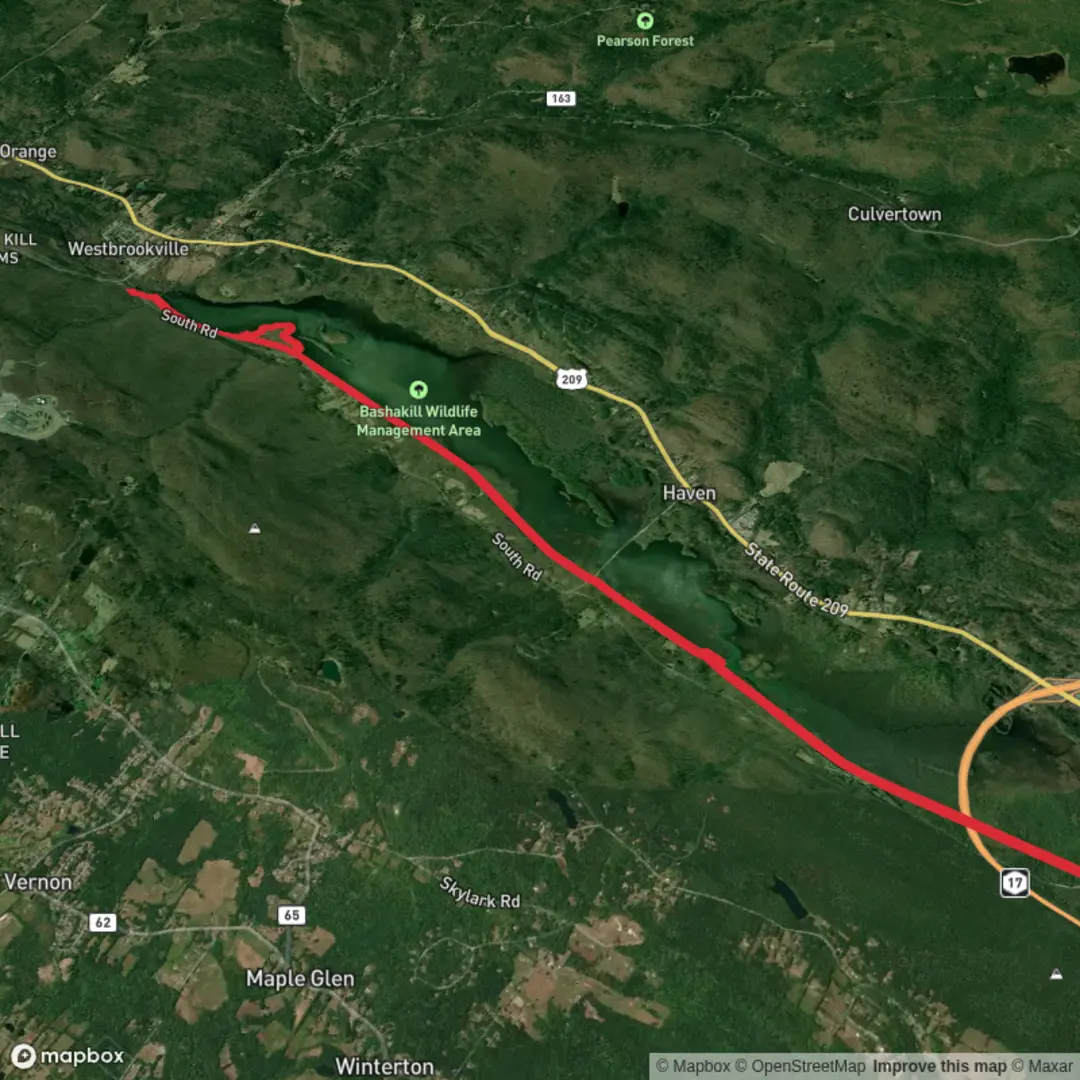
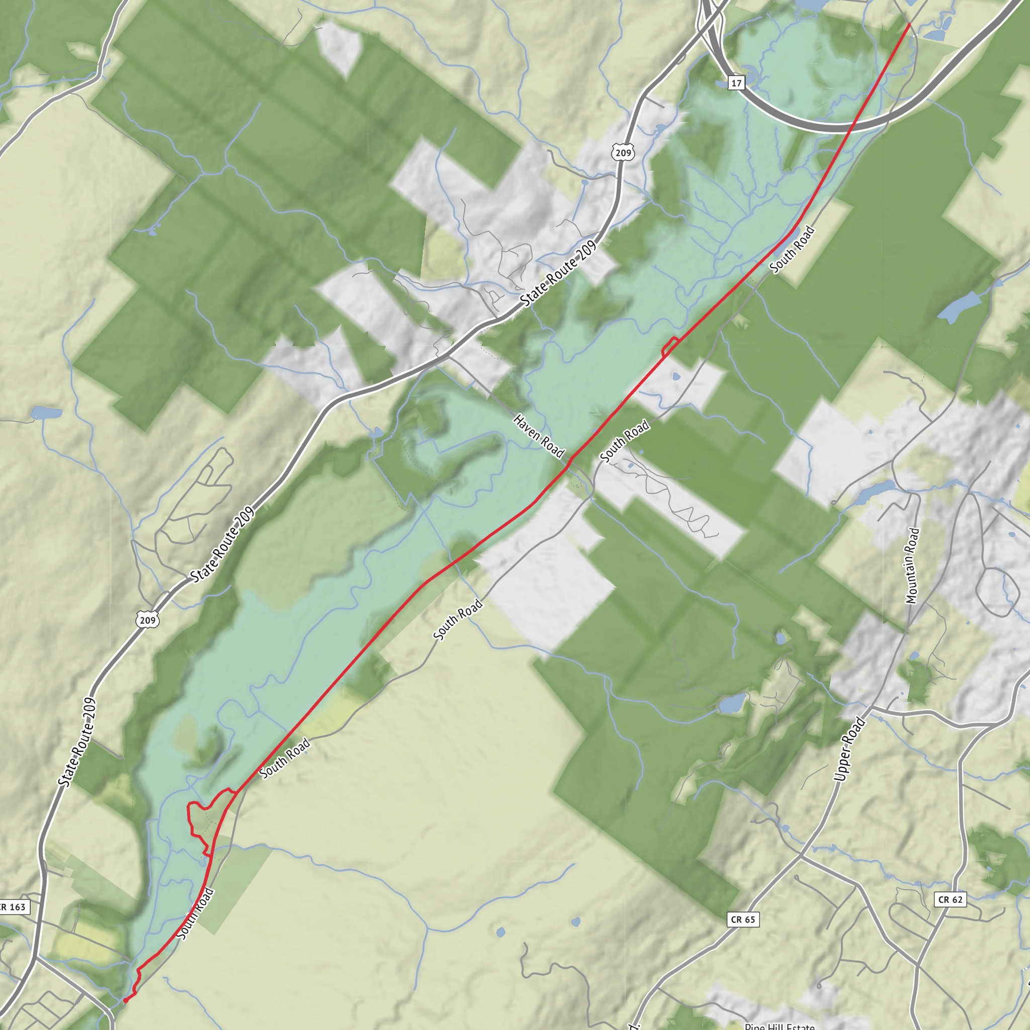
This stretch runs from the Orange County border at the southern end of the Bashakill Wildlife Management Area northward through Mamakating toward Summitville and Phillipsport, giving you a mix of wetland-edge views, brushy rail corridor, and quieter residential hamlet edges. (sullivanoandw.com)
- Bashakill Wildlife Management Area (southern end influence): The Bashakill is a major wetland complex and a designated Bird Conservation Area with 200+ bird species recorded. (dec.ny.gov) Even if your walk stays on the rail corridor, you’ll feel that wetland presence in the form of open sky, reedbeds, and frequent birdsong.
- Seasonal highlights:
- Spring: chorus frogs, red-winged blackbirds, and migrating waterfowl activity near wet areas.
- Summer: lush green tunnel sections; more insects—bring repellent.
- Fall: long sightlines through thinning leaves; excellent raptor movement on clear days.
- Winter: firm footing when frozen; watch for icy shaded spots and packed snow.
Wildlife and what to look out for
Because the route skirts wetland and mixed woodland habitats, wildlife viewing can be excellent—especially early and late in the day. - Birdlife: The Bashakill area is well known for birding; bald eagles and osprey are commonly reported from the WMA. (en.wikipedia.org) Bring binoculars if you have them. - Mammals: White-ta
Surfaces
Unpaved
Unknown
Comments and Reviews
User comments, reviews and discussions about the Mamakating O and W Rail Trail, New York.
average rating out of 5
0 rating(s)
