Download
3D Flyover
Add to list
More
4.2 km
~56 min
58 m
Loop
“Drift beneath leafy shade, hop bridge to bridge, then rise briefly to a quiet overlook.”
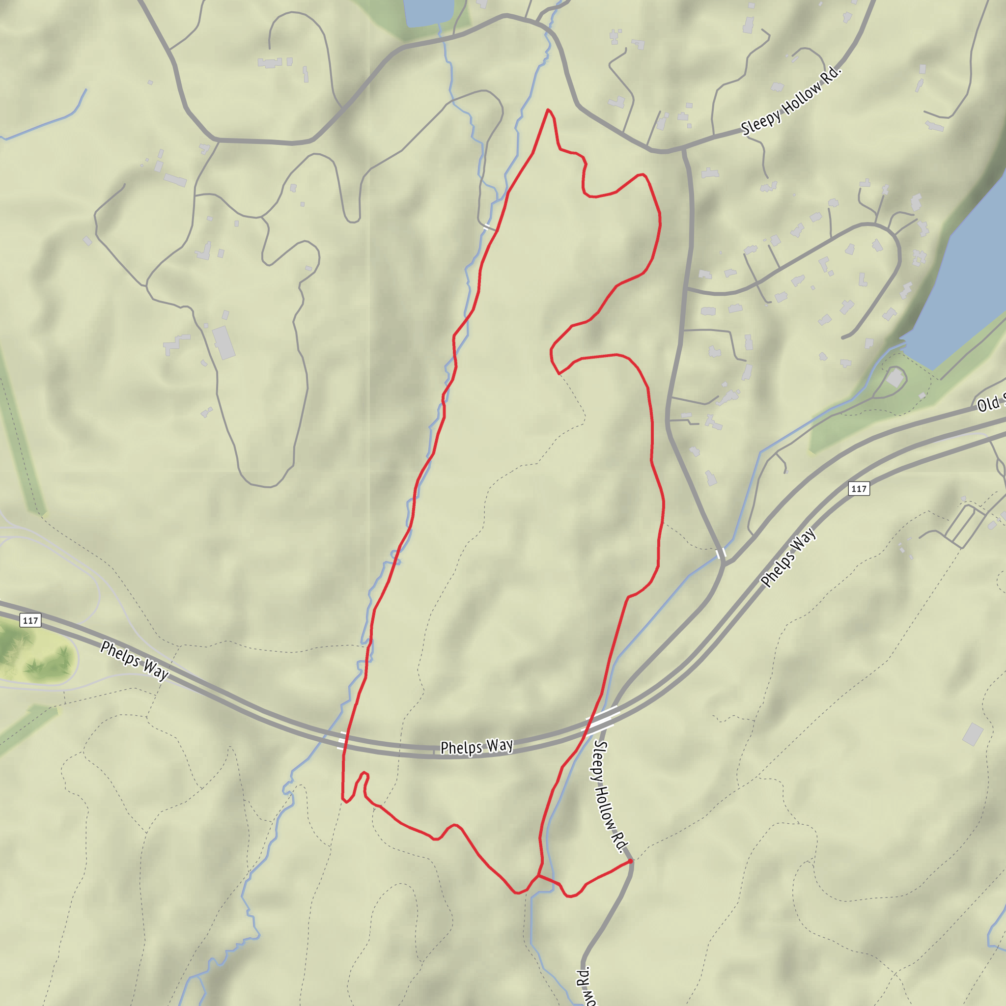
This easy loop is a compact sampler of shaded river walking, frequent bridge crossings, and a short climb to a higher viewpoint—about 4 km / 2.5 mi with roughly 100 m / 330 ft of total ascent. Expect mostly well-trodden woodland paths with a few rooty, damp sections near the water and some short, punchy ups-and-downs as the trail weaves between the Pocantico River corridor and Eagle Hill.
Getting to the start (car + public transport)
Because the start point is listed only as “near” (with no coordinates), the most reliable way to reach the correct trailhead is to open the route in HiiKER and navigate to the exact start pin. This loop is typically associated with the Pocantico River / Rockefeller State Park Preserve area in Westchester County, New York, where “Thirteen Bridges” routes commonly begin near well-known access points such as: - Rockefeller State Park Preserve – Visitor Center area (Pleasantville, NY), a common staging point with parking and clear trail access. - Sleepy Hollow / Tarrytown vicinity, depending on the specific mapping of the “Thirteen Bridges” segment.
By car: Plan to park at the designated preserve lot closest to the HiiKER start pin (arrive earlier on weekends; lots can fill quickly).
By public transport (NYC area): Metro-North service to nearby stations (often Pleasantville or Tarrytown, depending on the chosen access point), then a short taxi/rideshare to the preserve entrance/trailhead. Use HiiKER to confirm which station minimizes driving time to the start.
If you share the lon/lat (or a HiiKER link), the start can be converted to the nearest specific address/landmark precisely.
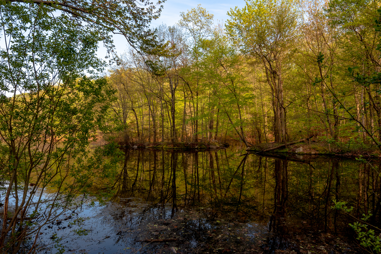
You’ll begin on a broad, forgiving path under mixed hardwood canopy—oak, maple, and beech are common in this region—quickly settling into the Pocantico River corridor. The first kilometer (~0.6 mi) is typically gentle, with only minor elevation change, and you’ll notice the air cooling slightly as you drop closer to the water. Footing here can be firm gravel or packed dirt, but after rain the low spots near the river can hold mud; waterproof shoes aren’t mandatory for fair weather, but they’re helpful if the previous day was wet.
The “Thirteen Bridges” character shows up as a rhythm: short stretches of riverside walking punctuated by frequent crossings. Bridges vary—some feel like simple wooden spans, others more substantial—so keep an eye out for slick boards, especially in the morning when dew lingers. The constant switching from one bank to the other also means the trail can feel surprisingly “busy” for such a short distance; it’s easy to miss a turn if you’re chatting and not checking junctions. When the path braids or meets wider carriage-style trails, confirm your line with HiiKER rather than assuming the most worn track is correct.
River corridor, bridges, and what to watch for
As you continue through the middle portion of the loop (roughly km 1 to 3 / mi 0.6 to 1.9), the river remains your anchor. Look for: - Riparian plants (ferns, mosses, and moisture-loving understory) thickening near the banks. - Songbirds flitting through the mid-canopy; spring and early summer can be especially active. - White-tailed deer are common in Westchester woodlands—often seen at dawn/dusk or quietly browsing off-trail. - Turtles and amphibians may appear near calmer water and wet depressions in warmer months.
Hazards are modest but real: roots and small rocks can be hidden under leaf litter, and the repeated bridge approaches can be slick. If you’re hiking with kids, the bridges are the main “attention points”—not usually dangerous, but they invite stopping, leaning, and looking into the water.
The Eagle Hill portion typically arrives as a short climb away from the river. Over a relatively brief stretch you’ll gain most of the loop’s elevation—on the order of 100 m / 330 ft total across the hike, with the steepest bits concentrated here. It’s not a long ascent, but it can feel abrupt compared to the earlier flat riverside walking. Pace it steadily and you’ll be at the higher ground quickly, where the forest can feel drier and more open.
Eagle Hill climb and higher-ground walking
On the climb and along the upper section, expect: - A slightly rockier tread in places, with more exposed roots. - Seasonal leaf cover that can hide uneven footing in autumn. - A sense of being “above” the river corridor—often quieter, with fewer damp patches.
This is a good place to pause for a snack and a quick navigation check. The loop nature means you’ll likely intersect wider multi-use paths at some point; confirm the correct return line with HiiKER, especially if there are multiple parallel tracks.
As you descend and arc back toward the start, the grade eases and the trail returns to the familiar woodland-river feel. The final kilometer (~0.6 mi) is usually straightforward, but it’s also where people most often relax and stop paying attention—watch for the last couple of junctions so you don’t accidentally extend the loop.
Historical context is woven into this landscape: the Pocantico area and the broader Hudson Valley/Westchester region reflect a long continuum of land use—Indigenous presence, colonial-era settlement patterns, and later estate and conservation history. The Rockefeller-associated preserve lands nearby are a major reason so much of this corridor remains protected and trail-accessible today
Comments and Reviews
User comments, reviews and discussions about the Pocantico River Trail, Thirteen Bridges and Eagle Hill Loop, New York.
average rating out of 5
0 rating(s)
