Download
3D Flyover
Add to list
More
27.0 km
~6 hrs 31 min
682 m
Multi-Day
“Embark on a scenic journey through the lush Catlins, where history whispers among ancient forests and babbling river trails.”
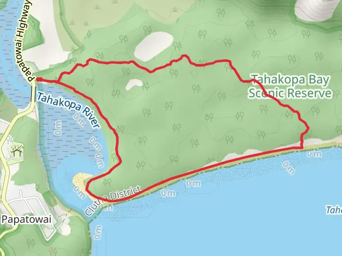
Nestled in the heart of the Catlins region, the Catlins River - Wisp Loop Track offers an immersive experience through one of New Zealand's most enchanting landscapes. Spanning approximately 27 kilometers (about 16.8 miles) with an elevation gain of around 600 meters (roughly 1968 feet), this loop trail is a medium-difficulty hike that takes you through a variety of terrains, from lush river valleys to dense native forests.
Getting to the Trailhead
The trailhead is conveniently located near Clutha, a town in the Otago region of the South Island. For those driving, it's accessible via the Southern Scenic Route, with parking available at the Catlins River Bridge. Public transport options are limited in this area, so it's advisable to rent a car or arrange a shuttle from nearby towns such as Owaka or Balclutha.
The Hike Itself
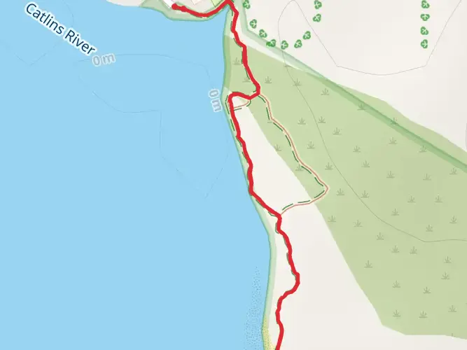
As you embark on the trail, you'll be greeted by the melodious sounds of the Catlins River, which will be your companion for a significant portion of the hike. The track meanders alongside the river, offering serene views and the chance to spot native birdlife such as the kererū (New Zealand pigeon) and the melodious tui.
Flora and Fauna
The Catlins region is renowned for its rich biodiversity. The trail cuts through ancient podocarp forests, where towering rimu and kahikatea trees stand sentinel. Ferns and mosses carpet the forest floor, creating a green oasis that feels untouched by time. Keep an eye out for the rare yellow-eyed penguin or the elusive Hector's dolphin along the coastal stretches of the track.
Historical Significance
The area is steeped in history, with the river being a vital resource for Māori and early European settlers. As you hike, you may come across remnants of the past, such as old logging trails and forgotten railway lines that hint at the region's bygone logging era.
Navigating the Trail
The trail is well-marked, but it's always wise to carry a reliable navigation tool. HiiKER is an excellent resource for trail maps and can help ensure you stay on the right path. The loop can be completed in either direction, but many choose to start with the ascent through the forest, saving the river walk for the latter part of the hike.
What to Expect
The first section of the trail involves a steady climb, which accounts for most of the elevation gain. As you ascend, the forest canopy provides shade and respite from the sun. After reaching the highest point of the loop, the track descends towards the Wisp, where the landscape opens up to reveal stunning vistas of the surrounding hills and valleys.
The return leg of the loop follows the Catlins River more closely, with several swing bridges and boardwalks adding variety to the trek. The sound of rushing water is a constant as you navigate this part of the trail, with opportunities to take a refreshing dip in one of the many swimming holes.
Preparation and Planning
Given the trail's length and varied terrain, it's important to come prepared. Sturdy hiking boots, weather-appropriate clothing, and plenty of water are essential. It's also advisable to pack food and snacks, as the hike can take anywhere from 8 to 10 hours to complete.
Conclusion
The Catlins River - Wisp Loop Track is a journey through the heart of New Zealand's natural beauty, offering hikers a chance to connect with the land and its history. Whether you're a birdwatcher, a history enthusiast, or simply seeking the tranquility of the great outdoors, this trail promises an unforgettable adventure.

What to expect?
Activity types
Frequently asked questions
How long does the Catlins River - Wisp Loop Track take to hike?
The full Catlins River - Wisp Loop Track is 26.97 km with 682 m of climbing, so it is best treated as a multi-day hike rather than a short walk. Shorter sections in the same network are commonly done as day walks, but the complete loop is a longer outing through the Catlins Forest Park area.
Where do you start the Catlins River - Wisp Loop Track and how do you get there?
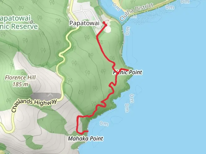
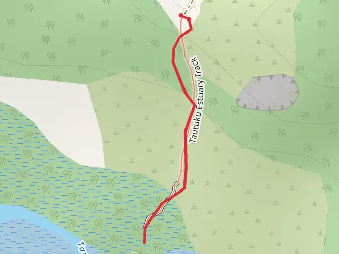
The Catlins River - Wisp Loop Track is reached in the Catlins area of Clutha on New Zealand’s South Island, with access commonly described from the Catlins River side and the Tawanui area. The route is generally approached by road via the Southern Scenic Route, and driving is the practical option because public transportation in this part of the Catlins is very limited.
Is the Catlins River - Wisp Loop Track a loop and what parts of the track does it include?
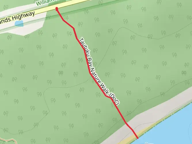
Yes. The Catlins River - Wisp Loop Track is a loop route that combines the Catlins River Track with the higher Wisp Loop section. Local track information also places it in the same wider walking area as routes such as Thisbe Valley Track and the Tautuku side of the Catlins Forest Park network.
How hard is the Catlins River - Wisp Loop Track?
The Catlins River - Wisp Loop Track is rated medium difficulty. That fits the numbers: 26.97 km of distance and 682 m of elevation gain, which is manageable for experienced walkers but still a substantial backcountry day or overnight effort in the Catlins.
Can you take dogs on the Catlins River - Wisp Loop Track?
Dog access needs extra care here. The Department of Conservation lists dog access information on individual track pages, and the Catlins River Track page includes a dog access notice, so anyone planning to bring a dog should check the current rule for this specific track before setting out because restrictions can apply in protected forest and wildlife areas.
Is there a map for the Catlins River - Wisp Loop Track?
Yes. The Catlins visitor maps and brochures identify the Catlins River to Wisp Loop Walking Track in the northern Catlins walking network, and the route is also recognized by DOC as the Catlins River Track linked with the Wisp Loop Walk. For navigation, the key point is that this is not a single short stroll but a linked forest loop with multiple named track sections.
Comments and Reviews
User comments, reviews and discussions about the Catlins River - Wisp Loop Track, New Zealand.
average rating out of 5
0 rating(s)