Download
3D Flyover
Add to list
More
37.2 km
~2 days
2381 m
Multi-Day
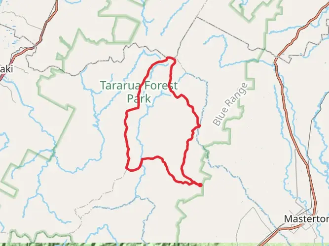
The Tararua Northern Crossing is a 37.2 km trail that starts in , Horowhenua, New Zealand. Based on our data, the hike is graded as Extra Difficult. For information on how we grade trails, please read measuring the difficulty of a hiking trail on hiiker. Also, check our latest community posts for trail updates. This hike can be completed in approx 2 days. Caution is advised on trail times as this depends on multiple variables. For more info read about how we calculate hike time.

What to expect?
Activity types
Frequently asked questions
How long does the Tararua Northern Crossing take to hike?
The Tararua Northern Crossing is a 37.2 km multi-day route with 2,381 m of climbing, so it is usually treated as a 3 to 5 day tramp. The crossing follows rough, unmarked alpine terrain between the Ohau and Waingawa catchments, which makes progress much slower than the distance alone suggests.
How difficult is the Tararua Northern Crossing hike?
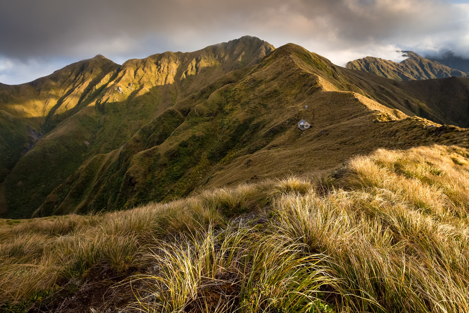
The Tararua Northern Crossing is an Extra Difficult route and is recommended for experienced trampers only. It includes rough unformed track, marker poles, untracked tops, steep mountain terrain, and serious exposure to fast-changing Tararua weather, with major peaks on the route including Arete at 1,505 m, Girdlestone at 1,546 m, and Mitre at 1,571 m.
Is the Tararua Northern Crossing route marked and easy to follow?
No. The Tararua Northern Crossing is an unmarked route, and the open tops section from Pukematawai to Mitre is not marked. Strong navigation skills are important because the crossing links remote alpine terrain and river valleys rather than following a fully formed, waymarked trail from end to end.
Can you camp on the Tararua Northern Crossing, or is it mainly a hut trip?
The Tararua Northern Crossing is mainly done as a hut-to-hut trip, with common overnight stops including Te Matawai Hut, Arete Hut, Tarn Ridge Hut, and Mitre Flats Hut. Camping may be possible in Tararua Forest Park in some places, but this crossing is generally planned around the established backcountry huts because of the exposed tops, river valleys, and changeable weather.
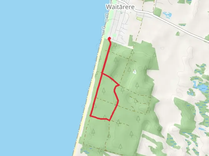
Where does the Tararua Northern Crossing start and finish?
The Tararua Northern Crossing links the western side of Tararua Forest Park near Levin with the eastern side in the Waingawa-Holdsworth area. A common western access is from State Highway 1 at Levin via Tararua Road and Gladstone Road, and the crossing typically finishes at Holdsworth road end or the Pines car park on the eastern side.
What huts are used on the Tararua Northern Crossing?
The main huts associated with the Tararua Northern Crossing are Te Matawai Hut on the western side and Mitre Flats Hut beside the Waingawa River on the eastern side. The main alpine huts are Arete Hut, just off Arete peak, and Tarn Ridge Hut northwest of Girdlestone, and these huts are central to most 3 to 5 day itineraries.
What are the main hazards on the Tararua Northern Crossing?
The main hazards on the Tararua Northern Crossing are navigation difficulty, exposed alpine weather, and river conditions. High water in the Ohau Valley can become a major obstacle, sometimes forcing a longer detour via Gable End Ridge, and the Tararua Range is known for thick mist, strong winds, and rapidly changing conditions on the tops.
Comments and Reviews
User comments, reviews and discussions about the Tararua Northern Crossing, New Zealand.
average rating out of 5
0 rating(s)