Download
3D Flyover
Add to list
More
23.0 km
~6 hrs 29 min
1136 m
Multi-Day
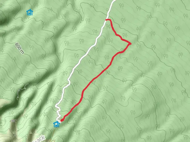
The Pouakai Crossing is a 23.0 km trail that starts in , New Plymouth, New Zealand. Based on our data, the hike is graded as Difficult. For information on how we grade trails, please read measuring the difficulty of a hiking trail on hiiker. Also, check our latest community posts for trail updates. This hike can be completed in approx 6 hrs 30 mins. Caution is advised on trail times as this depends on multiple variables. For more info read about how we calculate hike time.

What to expect?
Activity types
Frequently asked questions
How hard is the Pouakai Crossing hike near New Plymouth?
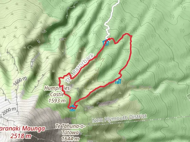
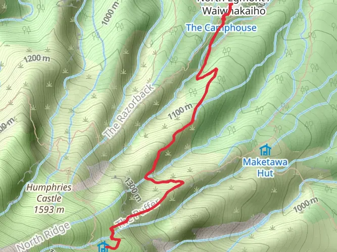
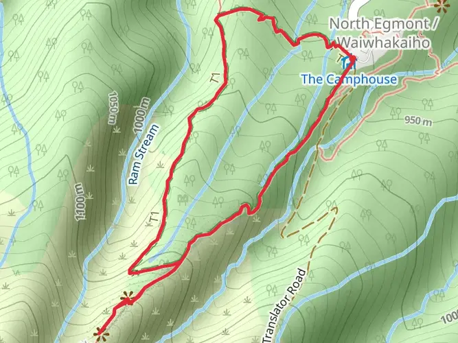
The Pouakai Crossing is a difficult backcountry tramp of 23.02 km with 1,136 m of climbing. The route includes long stair climbs, rough and muddy sections, alpine terrain near Dieffenbach Cliffs and Boomerang Slip, and a long descent to Mangorei Road, so it suits strong hikers with solid fitness and mountain experience.
What is the difference between the Pouakai Crossing and the Pouakai Circuit?
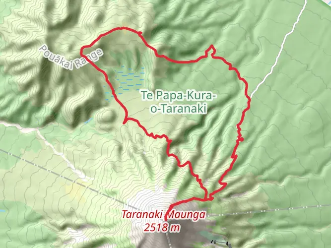
The Pouakai Crossing is a one-way route from North Egmont to Mangorei Road, while the Pouakai Circuit is a loop-style backcountry trip that returns to North Egmont. The circuit includes sections such as Holly Hut, Ahukawakawa Swamp, Pouakai Hut, the Pouakai Tarns, Maude Peak, Henry Peak, and the Waiwhakaiho River, and it is usually done over more than one day.
Can the Pouakai Circuit be done in one day instead of the Pouakai Crossing?
The Pouakai Circuit can be pushed into a very long single day by strong trampers, but it is generally treated as a multi-day route. DOC stage times add up to roughly 10 to 14 hours for the main circuit sections, compared with the one-way Pouakai Crossing, which is the more practical choice for a big day hike.
Is there a shuttle for the Pouakai Crossing between North Egmont and Mangorei Road?
Yes. The Pouakai Crossing is a one-way walk, so transport usually needs to be arranged between the North Taranaki Visitor Centre at North Egmont and the Mangorei Road trailhead. Shuttle services operate from New Plymouth for this route, and they are especially useful because parking at North Egmont is limited until December 2026 during visitor center construction.
What is the weather like on the Pouakai Crossing and when is it unsafe?
Weather on the Pouakai Crossing can change rapidly because the route crosses exposed mountain terrain on the flanks of Taranaki. DOC warns that the track can be rough, wet, muddy, icy, or impassable, and some sections may become unsafe in winter because of snow and ice, especially around the alpine section beyond the North Egmont lookout.
Does the Pouakai Crossing go past Pouakai Hut and the Pouakai Tarns?
Yes. The route passes the Ahukawakawa area and reaches the Pouakai Tarns, where Mount Taranaki is often reflected in the small alpine pools on clear days. Pouakai Hut sits just off the Mangorei Track and is about a 5-minute walk from the main junction, with the tarns about 20 minutes from the hut area.
Can dogs go on the Pouakai Crossing?
No. Dogs and other pets are not allowed in Egmont National Park, including on the Pouakai Crossing and even inside vehicles. That rule applies across the park, so this is not a dog-friendly hike.
Comments and Reviews
User comments, reviews and discussions about the Pouakai Crossing, New Zealand.
average rating out of 5
0 rating(s)