Download
Preview
Add to list
More
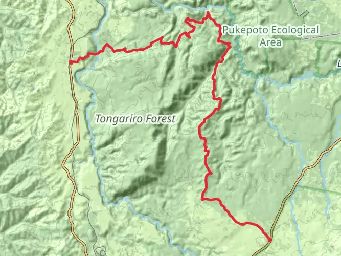
149.6 km
~9 days
2113 m
Multi-Day
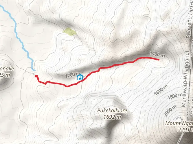
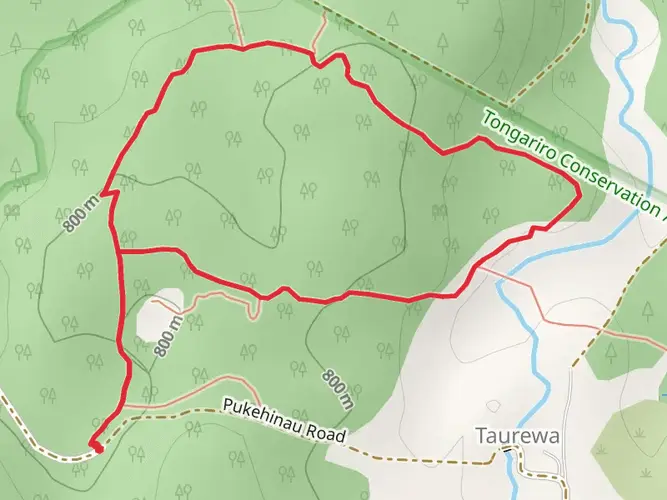
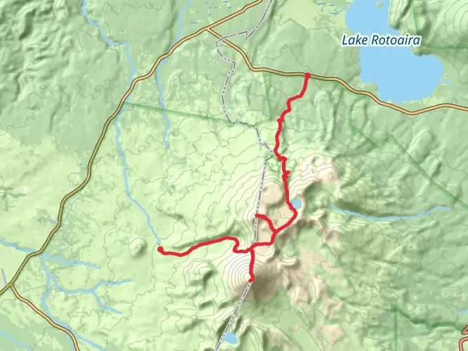
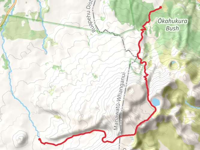
The Forgotten World Highway is a 149.6 km trail that starts in Taumarunui, Ruapehu, New Zealand. Based on our data, the hike is graded as Medium. For information on how we grade trails, please read measuring the difficulty of a hiking trail on hiiker. Also, check our latest community posts for trail updates. This hike can be completed in approx 6 days. Caution is advised on trail times as this depends on multiple variables. For more info read about how we calculate hike time.

What to expect?
Activity types
Frequently asked questions
Where is the Forgotten World Highway in New Zealand?
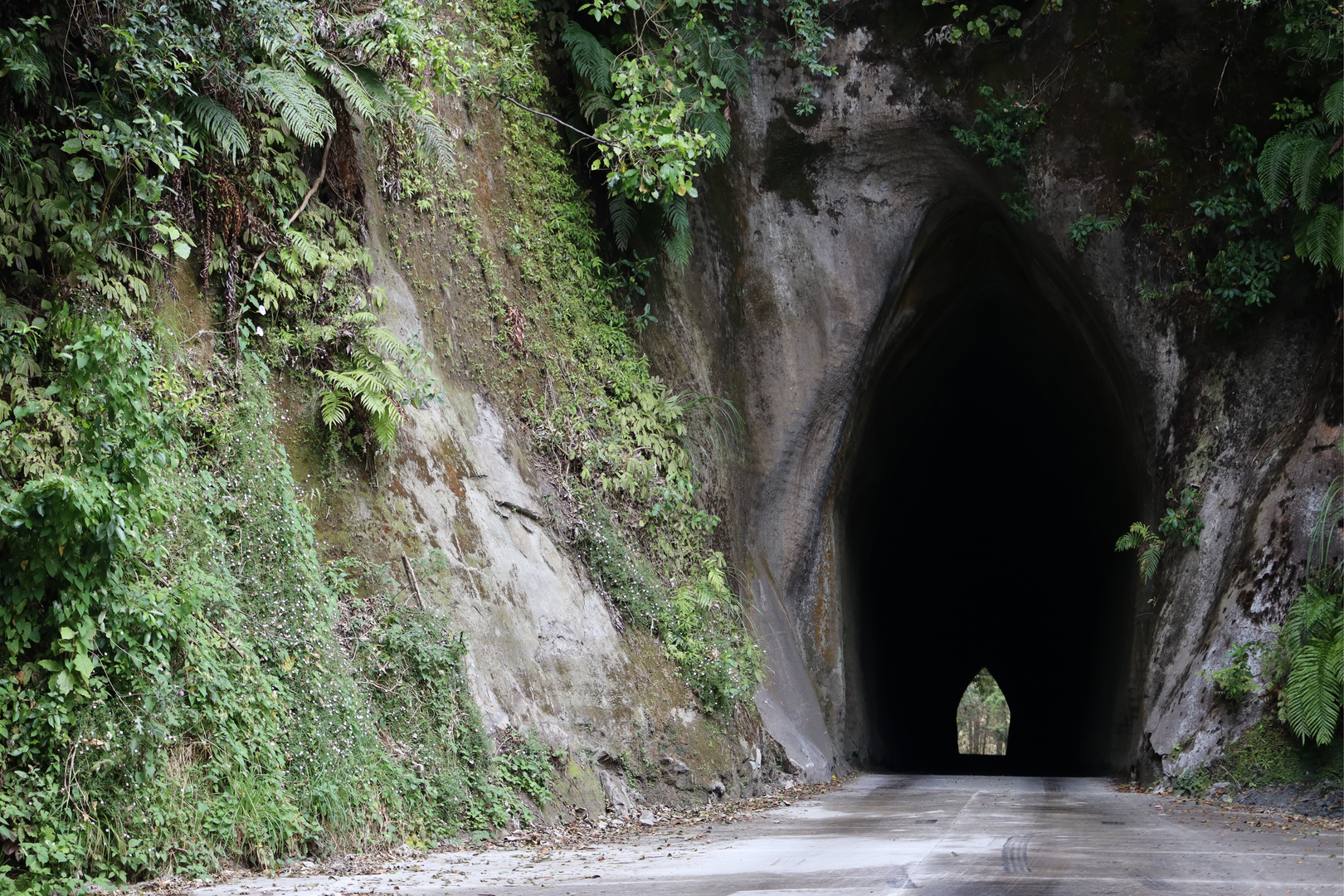
The Forgotten World Highway is State Highway 43 on New Zealand’s North Island, linking Stratford in Taranaki with Taumarunui in the Ruapehu area. The route is about 149.62 km long and passes through remote settlements including Whangamomona, as well as landmarks such as the Moki Tunnel and Tahora Saddle.
Can you drive the Forgotten World Highway end to end?
Yes. The Forgotten World Highway is a drivable route on State Highway 43 between Stratford and Taumarunui, and the full journey is roughly 150 km. It is known for narrow, winding sections and a remote backcountry feel, so travel times are slower than the distance suggests, especially around the gorge and tunnel sections.
How long does it take to travel the Forgotten World Highway?
Driving the Forgotten World Highway usually takes around 2.5 to 3.5 hours without long stops, depending on weather, roadworks, and how often traffic control is in place. The route covers 149.62 km, but the many bends, hill country, and scenic stops near Whangamomona, Tahora Saddle, and the Moki Tunnel make it slower than a typical highway run.
Is the Forgotten World Highway fully sealed now?
Yes. The final 12 km unsealed section through the Tangarakau Gorge was chip-sealed as part of the SH43 improvement works, so the route is now fully sealed end to end. Even with a sealed surface, the highway still has narrow, twisting stretches and can be affected by slips, flooding, and maintenance closures.
Is the Forgotten World Highway open right now?
The Forgotten World Highway is generally open, but conditions can change quickly because SH43 is prone to heavy rain, slips, flooding, and temporary traffic management. Recent NZ transport updates have included short-term closures and reduced-speed sections between Whangamomona and Taumarunui, so open status is best treated as changeable rather than fixed.
What are road conditions like on the Forgotten World Highway?
Road conditions on the Forgotten World Highway are typically sealed but variable, with tight curves, steep hill country, one-lane features in places, and occasional stop-go traffic during maintenance. The route includes remote sections around the Tangarakau Gorge and the single-lane Moki Tunnel, so conditions are often more demanding than on a standard state highway.
Why is it called the Forgotten World Highway?
The Forgotten World Highway takes its name from the isolated inland country it crosses between Stratford and Taumarunui. The route passes through sparsely populated hill country and small settlements such as Whangamomona, giving it a reputation for remoteness that sets it apart from New Zealand’s busier highway corridors.
Comments and Reviews
User comments, reviews and discussions about the Forgotten World Highway, New Zealand.
average rating out of 5
0 rating(s)